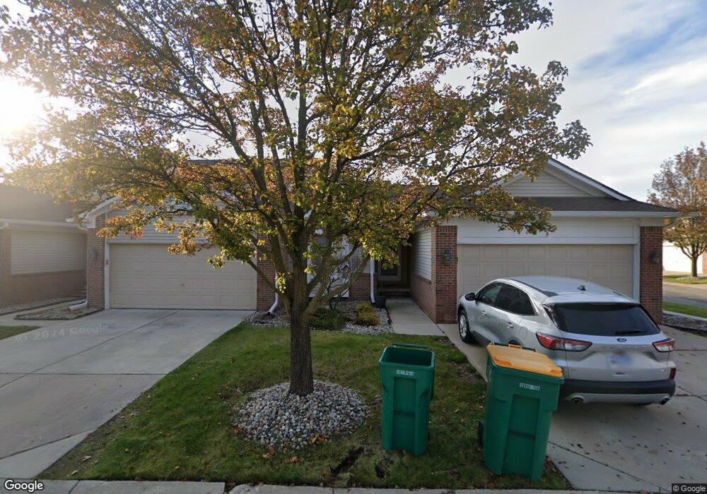
21747 Adams Dr Unit 26 Brownstown, MI 48193
Estimated Value: $180,000 - $282,000
2
Beds
2
Baths
1,139
Sq Ft
$191/Sq Ft
Est. Value
About This Home
This home is located at 21747 Adams Dr Unit 26, Brownstown, MI 48193 and is currently estimated at $217,905, approximately $191 per square foot. 21747 Adams Dr Unit 26 is a home located in Wayne County with nearby schools including Gudith Elementary School, Patrick Henry Middle School, and Brownstown Middle School.
Ownership History
Date
Name
Owned For
Owner Type
Purchase Details
Closed on
Jun 30, 2006
Sold by
Gierczak Christine A
Bought by
Hassell Denise M
Current Estimated Value
Purchase Details
Closed on
Feb 22, 2002
Sold by
Kosovak Lorraine
Bought by
Gierczak Christine A
Create a Home Valuation Report for This Property
The Home Valuation Report is an in-depth analysis detailing your home's value as well as a comparison with similar homes in the area
Home Values in the Area
Average Home Value in this Area
Purchase History
| Date | Buyer | Sale Price | Title Company |
|---|---|---|---|
| Hassell Denise M | $143,800 | Title Source Inc | |
| Gierczak Christine A | $136,000 | -- |
Source: Public Records
Tax History Compared to Growth
Tax History
| Year | Tax Paid | Tax Assessment Tax Assessment Total Assessment is a certain percentage of the fair market value that is determined by local assessors to be the total taxable value of land and additions on the property. | Land | Improvement |
|---|---|---|---|---|
| 2025 | $979 | $99,100 | $0 | $0 |
| 2024 | $979 | $96,100 | $0 | $0 |
| 2023 | $934 | $85,200 | $0 | $0 |
| 2022 | $1,844 | $71,800 | $0 | $0 |
| 2021 | $1,717 | $69,000 | $0 | $0 |
| 2020 | $1,677 | $66,800 | $0 | $0 |
| 2019 | $1,662 | $57,900 | $0 | $0 |
| 2018 | $816 | $52,800 | $0 | $0 |
| 2017 | $1,631 | $80,100 | $0 | $0 |
| 2016 | $1,600 | $52,700 | $0 | $0 |
| 2015 | $3,118 | $43,100 | $0 | $0 |
| 2013 | $3,021 | $33,700 | $0 | $0 |
| 2012 | -- | $29,700 | $9,000 | $20,700 |
Source: Public Records
Map
Nearby Homes
- 17763 Covey Ct
- 17157 Higdon Dr Unit 10
- 23089 Suffield Ln
- 23153 Suffield Ln
- 23504 Matts Dr Unit 66
- 17282 Oak Gove St Unit 309
- 23604 Matts Dr Unit 63
- 23654 Pine Dr Unit 201
- 23657 Hickory Dr Unit 214
- 23633 Hickory Dr Unit 211
- 23697 Hickory Dr Unit 219
- 17324 Oak Gove St Unit 300
- 23675 Maple Ln Unit 141
- 23678 Hickory Dr Unit 261
- 17501 Cedar Grove Unit 181
- 23686 Hickory Dr Unit 260
- 17528 Cedar Grove
- 0000 Allen Rd
- 17416 Oak Gove St Unit 287
- 16117 Jackson St
- 21724 Adams Dr Unit 21
- 21731 Adams Dr Unit 25
- 21740 Adams Dr
- 21708 Adams Dr Unit 20
- 21715 Adams Dr Unit 24
- 21692 Adams Dr Unit 19
- 21676 Adams Dr
- 21635 Adams Dr
- 21635 Adams Dr Unit 28
- 21619 Adams Dr
- 21580 Adams Dr Unit 33
- 21698 Lincoln Dr
- 21698 Lincoln Dr Unit 45
- 21660 Adams Dr
- 17658 Liberty Ln Unit 72
- 21809 Patriot Blvd Unit 42
- 21651 Adams Dr Unit 29
- 21699 Adams Dr
- 17678 Liberty Ln
- 17698 Liberty Ln