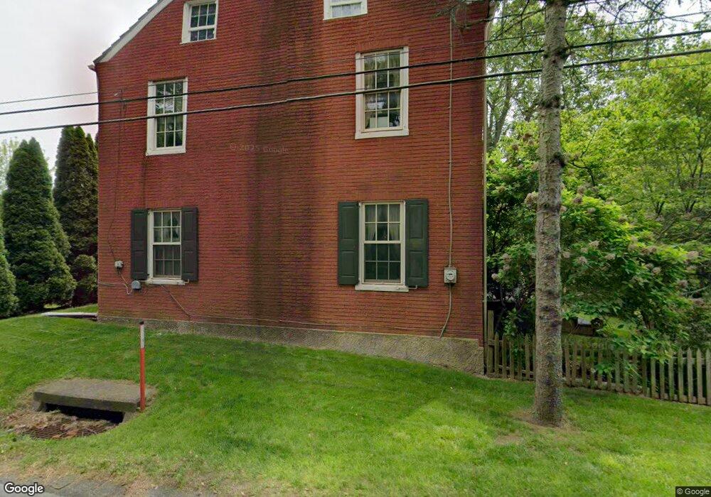
2175 Brookside Rd Macungie, PA 18062
Lower Macungie Township East NeighborhoodEstimated Value: $338,977 - $546,000
3
Beds
1
Bath
1,980
Sq Ft
$210/Sq Ft
Est. Value
About This Home
This home is located at 2175 Brookside Rd, Macungie, PA 18062 and is currently estimated at $416,494, approximately $210 per square foot. 2175 Brookside Rd is a home located in Lehigh County with nearby schools including Macungie Elementary School, Eyer Middle School, and Emmaus High School.
Ownership History
Date
Name
Owned For
Owner Type
Purchase Details
Closed on
Jul 19, 1991
Sold by
Mclean James F and Mclean Eleanore R
Bought by
Smith Mark F and Smith Jamie L
Current Estimated Value
Purchase Details
Closed on
Jan 7, 1985
Sold by
Smith Mark F and Smith Jamie L
Bought by
Mclean James F and Mclean Eleanore R
Purchase Details
Closed on
Nov 30, 1984
Bought by
Smith Mark F and Smith Jamie L
Create a Home Valuation Report for This Property
The Home Valuation Report is an in-depth analysis detailing your home's value as well as a comparison with similar homes in the area
Home Values in the Area
Average Home Value in this Area
Purchase History
| Date | Buyer | Sale Price | Title Company |
|---|---|---|---|
| Smith Mark F | -- | -- | |
| Mclean James F | -- | -- | |
| Smith Mark F | $42,000 | -- |
Source: Public Records
Tax History Compared to Growth
Tax History
| Year | Tax Paid | Tax Assessment Tax Assessment Total Assessment is a certain percentage of the fair market value that is determined by local assessors to be the total taxable value of land and additions on the property. | Land | Improvement |
|---|---|---|---|---|
| 2025 | $4,202 | $164,600 | $28,600 | $136,000 |
| 2024 | $4,066 | $164,600 | $28,600 | $136,000 |
| 2023 | $3,984 | $164,600 | $28,600 | $136,000 |
| 2022 | $3,890 | $164,600 | $136,000 | $28,600 |
| 2021 | $3,807 | $164,600 | $28,600 | $136,000 |
| 2020 | $3,771 | $164,600 | $28,600 | $136,000 |
| 2019 | $3,707 | $164,600 | $28,600 | $136,000 |
| 2018 | $3,658 | $164,600 | $28,600 | $136,000 |
| 2017 | $3,594 | $164,600 | $28,600 | $136,000 |
| 2016 | -- | $164,600 | $28,600 | $136,000 |
| 2015 | -- | $164,600 | $28,600 | $136,000 |
| 2014 | -- | $164,600 | $28,600 | $136,000 |
Source: Public Records
Map
Nearby Homes
- 2173 Brookside Rd
- 5175 Meadowview Dr
- 1991 Autumn Ridge Rd
- 2056 Autumn Ridge Rd
- 1675 Hamlet Dr
- 5280 Townsquare Dr
- 2691 Terrwood Dr W Unit 176
- 4762 Steeplechase Dr Unit 13C
- 6022 Eli Cir
- 5706 Whitemarsh Dr
- 5133 Meadow Ln
- 2560 Gracie Lone
- 6007 Timberknoll Dr
- 2518 Stanford Cir
- 2969 Aronimink Place
- 2878 Whitemarsh Place
- 2992 Aronimink Place
- 1385 Brookside Rd
- 2570 Millbrook Dr
- Henley Plan at Mountainview Estates
- 2170 Brookside Rd
- 2140 Brookside Rd
- 2100 Brookside Rd
- 5505 Princeton Rd
- 5499 Princeton Rd
- 5511 Princeton Rd
- 5489 Princeton Rd
- 5435 Princeton Rd
- 5517 Princeton Rd
- 5401 Princeton Rd
- 5485 Princeton Rd
- 5397 Princeton Rd
- 2060 Brookside Rd
- 5523 Princeton Rd
- 5393 Princeton Rd
- 5469 Princeton Rd
- 5389 Princeton Rd
- 5385 Princeton Rd
- 5531 Princeton Rd
- 2128 Brookside Rd