2175 County Road 362 New Bloomfield, MO 65063
Estimated Value: $251,651 - $423,000
--
Bed
2
Baths
1,320
Sq Ft
$254/Sq Ft
Est. Value
About This Home
This home is located at 2175 County Road 362, New Bloomfield, MO 65063 and is currently estimated at $335,884, approximately $254 per square foot. 2175 County Road 362 is a home located in Callaway County with nearby schools including New Bloomfield Elementary School and New Bloomfield High School.
Ownership History
Date
Name
Owned For
Owner Type
Purchase Details
Closed on
Oct 29, 2009
Sold by
Priest David J and Priest Laura A
Bought by
Beanland Janet R and Beanland Bryan A
Current Estimated Value
Home Financials for this Owner
Home Financials are based on the most recent Mortgage that was taken out on this home.
Original Mortgage
$71,428
Outstanding Balance
$46,759
Interest Rate
5.05%
Mortgage Type
New Conventional
Estimated Equity
$289,125
Create a Home Valuation Report for This Property
The Home Valuation Report is an in-depth analysis detailing your home's value as well as a comparison with similar homes in the area
Home Values in the Area
Average Home Value in this Area
Purchase History
| Date | Buyer | Sale Price | Title Company |
|---|---|---|---|
| Beanland Janet R | -- | None Available |
Source: Public Records
Mortgage History
| Date | Status | Borrower | Loan Amount |
|---|---|---|---|
| Open | Beanland Janet R | $71,428 |
Source: Public Records
Tax History Compared to Growth
Tax History
| Year | Tax Paid | Tax Assessment Tax Assessment Total Assessment is a certain percentage of the fair market value that is determined by local assessors to be the total taxable value of land and additions on the property. | Land | Improvement |
|---|---|---|---|---|
| 2024 | $1,433 | $25,307 | $0 | $0 |
| 2023 | $1,433 | $24,764 | $0 | $0 |
| 2022 | $1,399 | $24,832 | $2,229 | $22,603 |
| 2021 | $1,400 | $24,764 | $2,229 | $22,535 |
| 2020 | $1,401 | $24,764 | $2,229 | $22,535 |
| 2019 | $1,370 | $24,764 | $2,229 | $22,535 |
| 2018 | $1,376 | $24,764 | $2,229 | $22,535 |
| 2017 | $1,373 | $24,764 | $2,229 | $22,535 |
| 2016 | $1,147 | $20,630 | $0 | $0 |
| 2015 | $1,140 | $20,630 | $0 | $0 |
| 2014 | -- | $20,630 | $0 | $0 |
Source: Public Records
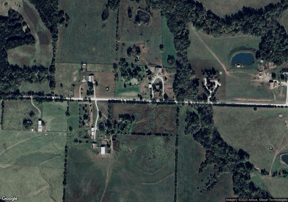
Map
Nearby Homes
- 8350 Dry Fork Acres Rd
- TBD County Road 375
- 0 County Road 375
- 2143 Milanda Lake Rd Unit A & B
- 8430 County Road 349
- LOT 10&11 Lyndell Blvd
- 231 Elm Ave
- 108 State Road Ae
- 0 Bland Crossing Unit 430335
- 845 State Road Mm
- 10407 County Road 497
- 10431 County Road 497
- 2962 County Road 496
- 10871 Mallard Ct
- 57 Kirk Dr
- 63 Kirk Dr
- 65 Kirk Dr
- 56 Kirk Dr
- 64 Kirk Dr
- 55 Kirk Dr
- 2121 County Road 362
- 2215 County Road 362
- 2126 County Road 362
- 2271 County Road 362
- 2025 County Road 362
- 8549 Southfork Ln
- 2312 County Road 362
- 8803 County Road 363
- 8548 Southfork Ln
- 8538 County Road 363
- 2399 County Road 362
- LOT 9 B E Route Y
- 8450 Southfork Ln
- 2352 State Road Y
- 8557 County Road 363
- 8819 State Road J
- 8603 State Road J
- 8603 State Road J
- 1983 County Road 364
- LOT 9 A E Route Y