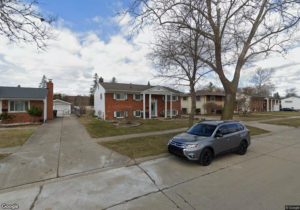
2175 Koper Dr Sterling Heights, MI 48310
Estimated Value: $277,000 - $297,000
4
Beds
2
Baths
1,920
Sq Ft
$148/Sq Ft
Est. Value
About This Home
This home is located at 2175 Koper Dr, Sterling Heights, MI 48310 and is currently estimated at $283,242, approximately $147 per square foot. 2175 Koper Dr is a home located in Macomb County with nearby schools including Angus Elementary School, Grissom Middle School, and Warren Mott High School.
Ownership History
Date
Name
Owned For
Owner Type
Purchase Details
Closed on
Nov 30, 2004
Sold by
Durbrow Lloyd R and Durbrow Carrie
Bought by
Choudhury Kamelia
Current Estimated Value
Home Financials for this Owner
Home Financials are based on the most recent Mortgage that was taken out on this home.
Original Mortgage
$147,600
Outstanding Balance
$72,784
Interest Rate
5.5%
Mortgage Type
Purchase Money Mortgage
Estimated Equity
$210,458
Purchase Details
Closed on
Jun 13, 1999
Sold by
Tremper Charles
Bought by
Durbrow Lloyd R
Create a Home Valuation Report for This Property
The Home Valuation Report is an in-depth analysis detailing your home's value as well as a comparison with similar homes in the area
Home Values in the Area
Average Home Value in this Area
Purchase History
| Date | Buyer | Sale Price | Title Company |
|---|---|---|---|
| Choudhury Kamelia | $165,000 | Title One Inc | |
| Durbrow Lloyd R | $128,900 | -- |
Source: Public Records
Mortgage History
| Date | Status | Borrower | Loan Amount |
|---|---|---|---|
| Open | Choudhury Kamelia | $147,600 |
Source: Public Records
Tax History Compared to Growth
Tax History
| Year | Tax Paid | Tax Assessment Tax Assessment Total Assessment is a certain percentage of the fair market value that is determined by local assessors to be the total taxable value of land and additions on the property. | Land | Improvement |
|---|---|---|---|---|
| 2025 | $2,809 | $126,000 | $0 | $0 |
| 2024 | $2,710 | $124,500 | $0 | $0 |
| 2023 | $2,572 | $112,200 | $0 | $0 |
| 2022 | $2,494 | $101,100 | $0 | $0 |
| 2021 | $2,578 | $95,400 | $0 | $0 |
| 2020 | $2,451 | $92,200 | $0 | $0 |
| 2019 | $2,300 | $84,900 | $0 | $0 |
| 2018 | $2,436 | $74,100 | $0 | $0 |
| 2017 | $2,350 | $67,900 | $15,800 | $52,100 |
| 2016 | $2,300 | $67,900 | $0 | $0 |
| 2015 | -- | $64,200 | $0 | $0 |
| 2014 | -- | $51,400 | $0 | $0 |
Source: Public Records
Map
Nearby Homes
- 2269 Serra Dr
- 2268 Serra Dr
- 2528 Koper Dr
- 34150 Dequindre Rd
- 2936 Wisconsin Rd
- 2950 Iowa Dr
- 2630 Pall Mall Dr
- 2600 Pall Mall Dr
- 2907 Lovington Dr
- 000 Wisconsin Rd
- 3040 Alden Dr
- 33731 Newport Dr
- 34544 Sandwood Dr
- 2109 Chesley Dr
- 2121 Chesley Dr
- 2693 Wisconsin Rd
- 2735 E Maple Rd
- 2825 Sherbourne Dr
- 2846 Teasdale Dr
- 2987 Chesterfield Dr