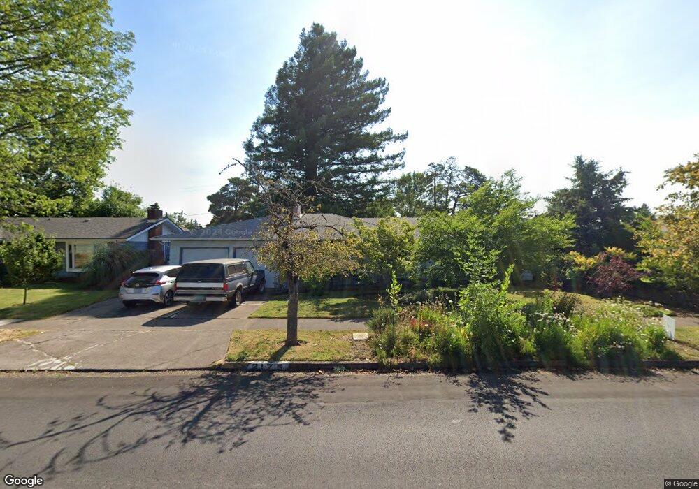
2175 Polk St Eugene, OR 97405
Friendly NeighborhoodEstimated Value: $409,231 - $489,000
3
Beds
2
Baths
1,333
Sq Ft
$329/Sq Ft
Est. Value
About This Home
This home is located at 2175 Polk St, Eugene, OR 97405 and is currently estimated at $439,058, approximately $329 per square foot. 2175 Polk St is a home located in Lane County with nearby schools including Adams Elementary School, Arts And Technology Academy At Jefferson, and Churchill High School.
Ownership History
Date
Name
Owned For
Owner Type
Purchase Details
Closed on
Oct 9, 2019
Sold by
Moroney William A
Bought by
Moroney William A and W A Moroney Trust
Current Estimated Value
Purchase Details
Closed on
Jul 26, 2013
Sold by
Kopp Howard and Marcus Alison
Bought by
Moroney William A and Moroney Marika T
Home Financials for this Owner
Home Financials are based on the most recent Mortgage that was taken out on this home.
Original Mortgage
$188,000
Interest Rate
3.92%
Mortgage Type
New Conventional
Purchase Details
Closed on
Apr 21, 2003
Sold by
Boe A Bryan
Bought by
Kopp Howard and Marcus Alison
Home Financials for this Owner
Home Financials are based on the most recent Mortgage that was taken out on this home.
Original Mortgage
$119,504
Interest Rate
5.54%
Create a Home Valuation Report for This Property
The Home Valuation Report is an in-depth analysis detailing your home's value as well as a comparison with similar homes in the area
Home Values in the Area
Average Home Value in this Area
Purchase History
| Date | Buyer | Sale Price | Title Company |
|---|---|---|---|
| Moroney William A | -- | None Available | |
| Moroney William A | $236,000 | Western Title & Escrow Co | |
| Kopp Howard | $149,380 | Cascade Title Co |
Source: Public Records
Mortgage History
| Date | Status | Borrower | Loan Amount |
|---|---|---|---|
| Previous Owner | Moroney William A | $188,000 | |
| Previous Owner | Kopp Howard | $119,504 |
Source: Public Records
Tax History
| Year | Tax Paid | Tax Assessment Tax Assessment Total Assessment is a certain percentage of the fair market value that is determined by local assessors to be the total taxable value of land and additions on the property. | Land | Improvement |
|---|---|---|---|---|
| 2025 | $3,860 | $198,127 | -- | -- |
| 2024 | $3,812 | $192,357 | -- | -- |
| 2023 | $3,812 | $186,755 | $0 | $0 |
| 2022 | $3,571 | $181,316 | $0 | $0 |
| 2021 | $3,354 | $176,035 | $0 | $0 |
| 2020 | $3,366 | $170,908 | $0 | $0 |
| 2019 | $3,251 | $165,931 | $0 | $0 |
| 2018 | $3,060 | $156,407 | $0 | $0 |
| 2017 | $2,915 | $156,407 | $0 | $0 |
| 2016 | $2,826 | $151,851 | $0 | $0 |
| 2015 | $2,741 | $147,428 | $0 | $0 |
| 2014 | $2,669 | $143,134 | $0 | $0 |
Source: Public Records
Map
Nearby Homes
- 2095 Polk St
- 1890 Taylor St
- 1924 Friendly St
- 0 Monroe St Unit 343774498
- 1612 Polk St
- 2525 Friendly St
- 623 W 18th Ave
- 557 W 19th Ave
- 865 W 28th Ave
- 1955 Arthur St
- 2096 1/2 Arthur St
- 2125 W 19th Place
- 2673 Garfield St
- 2064 W 17th Ave
- 1935 W 17th Ave Unit B
- 1875 W 15th Ave
- 2230 Cleveland St
- 2070 W 16th Way
- 2260 Lincoln St
- 0 W 15th Ave Unit Lot B
Your Personal Tour Guide
Ask me questions while you tour the home.