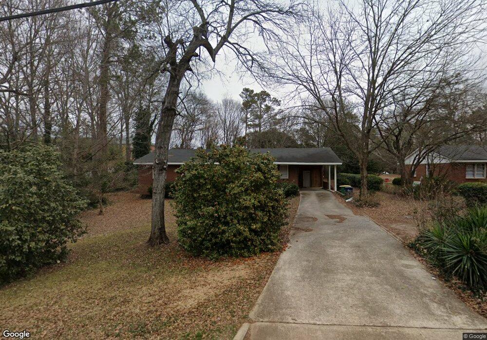
2175 S Milledge Ave Athens, GA 30605
Estimated Value: $284,493 - $463,000
--
Bed
1
Bath
1,553
Sq Ft
$248/Sq Ft
Est. Value
About This Home
This home is located at 2175 S Milledge Ave, Athens, GA 30605 and is currently estimated at $384,873, approximately $247 per square foot. 2175 S Milledge Ave is a home located in Clarke County with nearby schools including Barnett Shoals Elementary School, Hilsman Middle School, and Cedar Shoals High School.
Ownership History
Date
Name
Owned For
Owner Type
Purchase Details
Closed on
Feb 24, 2006
Sold by
Not Provided
Bought by
Thornton Michael A and Thornton Nona K
Current Estimated Value
Home Financials for this Owner
Home Financials are based on the most recent Mortgage that was taken out on this home.
Original Mortgage
$256,000
Interest Rate
6.05%
Mortgage Type
New Conventional
Purchase Details
Closed on
May 10, 2004
Sold by
Dixon Mmildred Loyd
Bought by
Escoe Brenda J Dixon
Purchase Details
Closed on
Nov 24, 1962
Sold by
Dixon Melvin
Bought by
Dixon Mmildred Loyd
Create a Home Valuation Report for This Property
The Home Valuation Report is an in-depth analysis detailing your home's value as well as a comparison with similar homes in the area
Home Values in the Area
Average Home Value in this Area
Purchase History
| Date | Buyer | Sale Price | Title Company |
|---|---|---|---|
| Thornton Michael A | $155,000 | -- | |
| Escoe Brenda J Dixon | -- | -- | |
| Dixon Mmildred Loyd | -- | -- |
Source: Public Records
Mortgage History
| Date | Status | Borrower | Loan Amount |
|---|---|---|---|
| Closed | Thornton Michael A | $256,000 |
Source: Public Records
Tax History Compared to Growth
Tax History
| Year | Tax Paid | Tax Assessment Tax Assessment Total Assessment is a certain percentage of the fair market value that is determined by local assessors to be the total taxable value of land and additions on the property. | Land | Improvement |
|---|---|---|---|---|
| 2025 | $3,131 | $100,851 | $17,500 | $83,351 |
| 2024 | $3,131 | $99,264 | $17,500 | $81,764 |
| 2023 | $3,102 | $94,682 | $17,500 | $77,182 |
| 2022 | $2,616 | $82,009 | $17,500 | $64,509 |
| 2021 | $2,137 | $63,404 | $17,500 | $45,904 |
| 2020 | $2,021 | $59,973 | $17,500 | $42,473 |
| 2019 | $1,976 | $58,201 | $17,500 | $40,701 |
| 2018 | $1,947 | $57,346 | $17,500 | $39,846 |
| 2017 | $1,897 | $55,869 | $17,500 | $38,369 |
| 2016 | $1,900 | $55,953 | $17,500 | $38,453 |
| 2015 | $1,906 | $56,072 | $17,500 | $38,572 |
| 2014 | $1,926 | $56,568 | $17,500 | $39,068 |
Source: Public Records
Map
Nearby Homes
- 260 Weymanda Cir
- 2165 S Milledge Ave Unit F4
- 123 Garden Ln
- 100 Woodstone Dr Unit 12
- 100 Woodstone Dr Unit 10
- 205 Woodstone Dr
- 205 Woodstone Dr Unit 14
- 595 Macon Hwy
- 595 Macon Hwy Unit 9
- 145 Heatherwood Ln
- 156 Fernbanks Ct
- 275 Davis Estates Rd
- 253 Sleepy Creek Dr
- 185 Eaglewood Way
- 780 Macon Hwy
- 128 Habersham Dr
- 265 Annes Ct
- 2185 S Milledge Ave
- 2895 Riverbend Rd
- 2168 S Milledge Ave Unit F6
- 2163 S Milledge Ave
- 2975 Riverbend Rd
- 2161 S Milledge Ave
- 2170 S Milledge Ave
- 2855 Riverbend Rd
- 2865 Riverbend Rd
- 2215 S Milledge Ave
- 2159 S Milledge Ave
- 2180 S Milledge Ave
- 2157 S Milledge Ave
- 2225 S Milledge Ave
- 2155 S Milledge Ave
- 2227 S Milledge Ave
- 2150 S Milledge Ave
- 2200 S Milledge Ave
- 2206 S Milledge Ave
- 2229 S Milledge Ave