2176 County Road 421 Poplar Bluff, MO 63901
Estimated Value: $263,000 - $574,000
Studio
--
Bath
2,960
Sq Ft
$140/Sq Ft
Est. Value
About This Home
This home is located at 2176 County Road 421, Poplar Bluff, MO 63901 and is currently estimated at $414,284, approximately $139 per square foot. 2176 County Road 421 is a home with nearby schools including Oak Grove Elementary School, Poplar Bluff Fifth & Sixth Grade Center, and Poplar Bluff Junior High School.
Ownership History
Date
Name
Owned For
Owner Type
Purchase Details
Closed on
Sep 18, 2018
Sold by
Lee James K
Bought by
Hayes Cody and Hayes Amanda
Current Estimated Value
Purchase Details
Closed on
Nov 16, 2007
Sold by
Hastings Amanda R
Bought by
Lee James K
Purchase Details
Closed on
Mar 14, 2005
Sold by
Gholson John R
Bought by
Gholson Lisa J
Home Financials for this Owner
Home Financials are based on the most recent Mortgage that was taken out on this home.
Original Mortgage
$107,500
Interest Rate
5.66%
Mortgage Type
New Conventional
Create a Home Valuation Report for This Property
The Home Valuation Report is an in-depth analysis detailing your home's value as well as a comparison with similar homes in the area
Purchase History
| Date | Buyer | Sale Price | Title Company |
|---|---|---|---|
| Hayes Cody | -- | Heritage Title Company | |
| Lee James K | -- | -- | |
| Gholson Lisa J | -- | None Available |
Source: Public Records
Mortgage History
| Date | Status | Borrower | Loan Amount |
|---|---|---|---|
| Previous Owner | Gholson Lisa J | $107,500 |
Source: Public Records
Tax History
| Year | Tax Paid | Tax Assessment Tax Assessment Total Assessment is a certain percentage of the fair market value that is determined by local assessors to be the total taxable value of land and additions on the property. | Land | Improvement |
|---|---|---|---|---|
| 2025 | $1,603 | $36,870 | $0 | $0 |
| 2024 | $15 | $34,190 | $0 | $0 |
| 2023 | $1,523 | $34,190 | $0 | $0 |
| 2022 | $1,472 | $33,120 | $0 | $0 |
| 2021 | $1,473 | $33,120 | $0 | $0 |
| 2020 | $1,482 | $32,830 | $0 | $0 |
| 2019 | $181 | $17,620 | $0 | $0 |
| 2018 | $181 | $4,020 | $0 | $0 |
| 2017 | -- | $4,020 | $0 | $0 |
| 2016 | -- | $4,020 | $0 | $0 |
| 2015 | -- | $4,020 | $0 | $0 |
| 2014 | -- | $4,020 | $0 | $0 |
| 2012 | $60 | $1,590 | $0 | $0 |
Source: Public Records
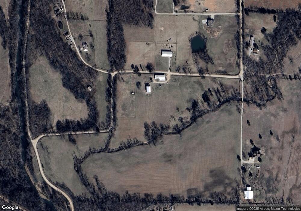
Map
Nearby Homes
- 9711 Highway Pp
- 566 County Road 422
- 139 County Road 425
- 1181 Highway 60 W
- 6708 Brown Ln
- 205 Batson Lake Ln
- 4 Woodland Heights W
- 9 Woodland Heights W
- 14 Woodland Heights W
- 6 Woodland Heights W
- 5 Woodland Heights W
- 3 Woodland Heights W
- 13 Woodland Heights W
- 10 Woodland Heights W
- 16 Woodland Heights W
- 11 Woodland Heights W
- 15 Woodland Heights W
- 2 Woodland Heights W
- 16 Boulder Trail
- 0 Boulder Trail
- 1974 County Road 421
- 1988 County Road 421
- 0 Lots 6&7 Cane Creek Valley Estate Unit 20072888
- 2233 County Road 421
- 171 Settlers Ln
- 2237 County Road 421
- 2237 County Road 423
- 1516 County Road 421
- 1136 County Road 423
- 0 County Road 423
- 1735 County Road 421
- 1024 County Road 423
- 62 Pollard Ln
- 607 Cr 424
- 607 County Road 424
- 103 Pollard Ln
- 149 Pollard Ln
- 172 Pollard Ln
- 1647 County Road 423
- 865 County Road 423
Your Personal Tour Guide
Ask me questions while you tour the home.