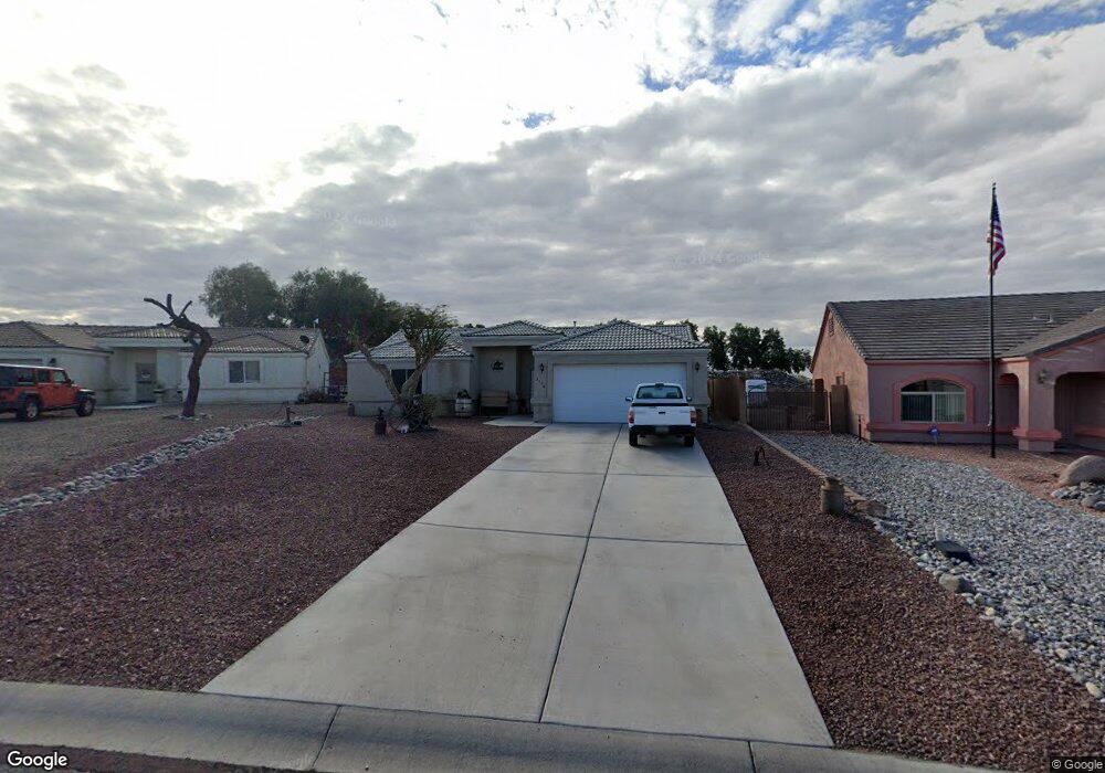
2176 E Jamie Rd Fort Mohave, AZ 86426
Estimated Value: $303,520 - $348,000
3
Beds
1
Bath
1,377
Sq Ft
$237/Sq Ft
Est. Value
About This Home
This home is located at 2176 E Jamie Rd, Fort Mohave, AZ 86426 and is currently estimated at $326,380, approximately $237 per square foot. 2176 E Jamie Rd is a home located in Mohave County with nearby schools including Fort Mohave Elementary School, Camp Mohave Elementary School, and Mohave Valley Junior High School.
Ownership History
Date
Name
Owned For
Owner Type
Purchase Details
Closed on
Apr 19, 2011
Sold by
The Bank Of New York Mellon
Bought by
Simon Mark
Current Estimated Value
Purchase Details
Closed on
Jan 6, 2011
Sold by
Gordon David and Gordon Cynthia
Bought by
The Bank Of New York Mellon
Purchase Details
Closed on
Oct 19, 2004
Sold by
Village Oaks Mortgage Inc
Bought by
Gordon David and Gordon Cynthia
Home Financials for this Owner
Home Financials are based on the most recent Mortgage that was taken out on this home.
Original Mortgage
$139,900
Interest Rate
2%
Mortgage Type
Fannie Mae Freddie Mac
Create a Home Valuation Report for This Property
The Home Valuation Report is an in-depth analysis detailing your home's value as well as a comparison with similar homes in the area
Home Values in the Area
Average Home Value in this Area
Purchase History
| Date | Buyer | Sale Price | Title Company |
|---|---|---|---|
| Simon Mark | $65,100 | Guaranty Title Agency | |
| The Bank Of New York Mellon | $205,672 | None Available | |
| Gordon David | $154,900 | First American Title Ins Co |
Source: Public Records
Mortgage History
| Date | Status | Borrower | Loan Amount |
|---|---|---|---|
| Previous Owner | Gordon David | $139,900 | |
| Closed | Gordon David | $17,400 |
Source: Public Records
Tax History
| Year | Tax Paid | Tax Assessment Tax Assessment Total Assessment is a certain percentage of the fair market value that is determined by local assessors to be the total taxable value of land and additions on the property. | Land | Improvement |
|---|---|---|---|---|
| 2026 | -- | -- | -- | -- |
| 2025 | $1,150 | $21,983 | $0 | $0 |
| 2024 | $1,150 | $25,532 | $0 | $0 |
| 2023 | $1,150 | $20,677 | $0 | $0 |
| 2022 | $1,129 | $16,714 | $0 | $0 |
| 2021 | $1,184 | $15,509 | $0 | $0 |
| 2019 | $1,099 | $13,024 | $0 | $0 |
| 2018 | $1,067 | $12,447 | $0 | $0 |
| 2017 | $1,059 | $11,628 | $0 | $0 |
| 2016 | $923 | $10,544 | $0 | $0 |
| 2015 | $936 | $9,708 | $0 | $0 |
Source: Public Records
Map
Nearby Homes
- 4270 S River Valley Ct
- 2261 E Jamie Rd
- 4392 & 4410 S Rio Verde Dr
- 4092 S Nicholas Dr
- 4112 S Cassidy Ct
- 1946 E Via San Marino
- 1962 E Via San Marino
- 1960 E Via Borgata
- 1949 E Via Aventino
- 1928 E Via Borgata
- 1920 E Via Borgata
- 1921 Via Borgata
- 1909 E Via Aventino
- 5075 S Mountain View Rd
- 1824 Stovall St
- 4334 S Tamara Terrace
- 1804 E La Entrada Place
- 1807 E Calle Agrada Dr
- 2215 Bonanza Ct
- 2188 Shadow Canyon Dr
- 2170 E Jamie Rd
- 2164 E Jamie Rd
- 2164 E Jamie Rd
- 2184 E Jamie Ct
- 2186 E Jamie Ct
- 2158 E Jamie Rd
- 2188 E Jamie Ct
- 2175 E Jamie Rd
- 2167 E Jamie Rd
- 2183 E Jamie Rd
- 2152 E Jamie Rd
- 4260 Mountain Meadow Way
- 2190 Jamie Ct E
- 2190 E Jamie Ct
- 2159 E Jamie Rd
- 2191 E Jamie Rd
- 2146 E Jamie Rd
- 4276 S Mountain Meadow Way
- 4259 S Mountain Meadow Way
Your Personal Tour Guide
Ask me questions while you tour the home.