2176 Granger Way Lummi Island, WA 98262
Estimated Value: $746,000 - $921,000
3
Beds
2
Baths
1,712
Sq Ft
$475/Sq Ft
Est. Value
About This Home
This home is located at 2176 Granger Way, Lummi Island, WA 98262 and is currently estimated at $812,613, approximately $474 per square foot. 2176 Granger Way is a home located in Whatcom County with nearby schools including Beach Elementary School, Vista Middle School, and Ferndale High School.
Ownership History
Date
Name
Owned For
Owner Type
Purchase Details
Closed on
Jul 2, 2007
Sold by
Granger John
Bought by
Granger John and Granger Elaine
Current Estimated Value
Create a Home Valuation Report for This Property
The Home Valuation Report is an in-depth analysis detailing your home's value as well as a comparison with similar homes in the area
Home Values in the Area
Average Home Value in this Area
Purchase History
| Date | Buyer | Sale Price | Title Company |
|---|---|---|---|
| Granger John | -- | None Available |
Source: Public Records
Tax History Compared to Growth
Tax History
| Year | Tax Paid | Tax Assessment Tax Assessment Total Assessment is a certain percentage of the fair market value that is determined by local assessors to be the total taxable value of land and additions on the property. | Land | Improvement |
|---|---|---|---|---|
| 2024 | $6,034 | $818,761 | $415,748 | $403,013 |
| 2023 | $6,034 | $800,355 | $406,402 | $393,953 |
| 2022 | $4,625 | $537,159 | $272,757 | $264,402 |
| 2021 | $4,108 | $467,095 | $237,180 | $229,915 |
| 2020 | $4,518 | $395,843 | $201,000 | $194,843 |
| 2019 | $3,859 | $395,843 | $201,000 | $194,843 |
| 2018 | $5,030 | $390,303 | $175,784 | $214,519 |
| 2017 | $4,115 | $390,303 | $175,784 | $214,519 |
| 2016 | $4,020 | $335,249 | $150,989 | $184,260 |
| 2015 | $3,958 | $323,659 | $145,769 | $177,890 |
| 2014 | -- | $314,966 | $141,854 | $173,112 |
| 2013 | -- | $289,757 | $130,500 | $159,257 |
Source: Public Records
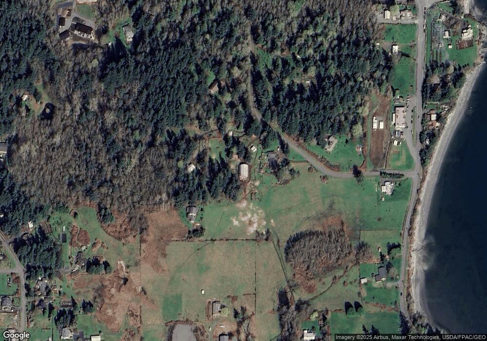
Map
Nearby Homes
- 2093 Granger Way
- 3965 Legoe Bay Rd
- 16 xx S Nugent Rd
- 4065 Sunny Hill Ln
- 2589 Lummi View Dr
- 2560 Lummi View Dr
- 2552 Lummi View Dr
- 2579 Finkbonner Rd
- 3456 Emma Rd
- 3440 Emma Rd
- 2625 Lummi View Dr
- 2383 W Shore Dr
- 2395 W Shore Dr
- 2533 Island View Ln
- 0 Taft Dr
- 2579 W Shore Dr
- 2591 Taft Dr
- 2879 N Nugent Rd Unit H8
- 2877 N Nugent Rd Unit M4
- 2519 Lummi Shore Rd
- 2181 Granger Way
- 0 Lot 21 Granger Way Unit 438062
- 2170 Granger Way
- 2174 Granger Way
- 2038 S Nugent Rd
- 2090 S Nugent Rd
- 2103 S Nugent Rd
- 2136 S Nugent Rd
- 3836 Legoe Bay Rd
- 3740 Legoe Bay Rd
- 2115 S Nugent Rd
- 2142 Granger Way
- 2144 S Nugent Rd
- 3728 Legoe Bay Rd
- 1860 S Nugent Rd
- 2130 Granger Way
- 3760 Legoe Bay Rd
- 2072 Granger Way
- 2046 Granger Way
- 3700 Harmony Ln