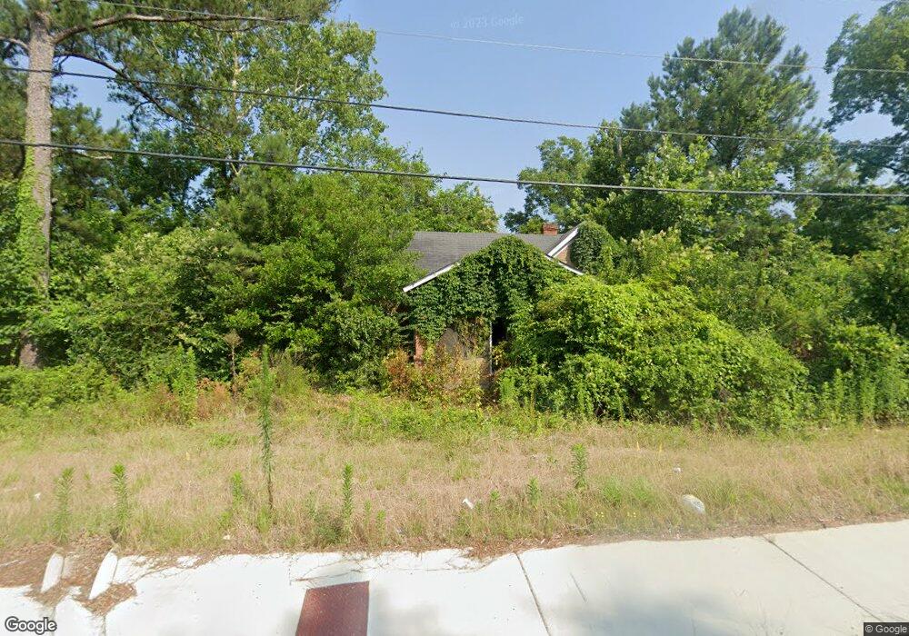
2176 Millerfield Rd Macon, GA 31217
Estimated Value: $71,000 - $88,196
2
Beds
1
Bath
1,282
Sq Ft
$61/Sq Ft
Est. Value
About This Home
This home is located at 2176 Millerfield Rd, Macon, GA 31217 and is currently estimated at $78,299, approximately $61 per square foot. 2176 Millerfield Rd is a home located in Bibb County with nearby schools including Martin Luther King Jr. Elementary School, Appling Middle School, and Northeast High School.
Ownership History
Date
Name
Owned For
Owner Type
Purchase Details
Closed on
Jan 8, 2018
Sold by
Bryant Sterling A
Bought by
Capital City Bank
Current Estimated Value
Purchase Details
Closed on
Oct 6, 2016
Sold by
Kabuye Flex
Bought by
Capital City Bank
Purchase Details
Closed on
May 31, 2007
Sold by
Nationstar Mortgage Llc
Bought by
Kabuye Flex
Purchase Details
Closed on
Nov 7, 2006
Create a Home Valuation Report for This Property
The Home Valuation Report is an in-depth analysis detailing your home's value as well as a comparison with similar homes in the area
Home Values in the Area
Average Home Value in this Area
Purchase History
| Date | Buyer | Sale Price | Title Company |
|---|---|---|---|
| Capital City Bank | -- | None Available | |
| Capital City Bank | -- | -- | |
| Kabuye Flex | $14,000 | None Available | |
| -- | $52,000 | -- | |
| Nationstar Mortgage Llc | $52,500 | None Available |
Source: Public Records
Tax History Compared to Growth
Tax History
| Year | Tax Paid | Tax Assessment Tax Assessment Total Assessment is a certain percentage of the fair market value that is determined by local assessors to be the total taxable value of land and additions on the property. | Land | Improvement |
|---|---|---|---|---|
| 2025 | $423 | $17,216 | $3,480 | $13,736 |
| 2024 | $437 | $17,216 | $3,480 | $13,736 |
| 2023 | $1,433 | $15,967 | $3,480 | $12,487 |
| 2022 | $1,842 | $12,970 | $4,463 | $8,507 |
| 2021 | $354 | $9,311 | $2,976 | $6,335 |
| 2020 | $307 | $7,910 | $2,480 | $5,430 |
| 2019 | $310 | $7,910 | $2,480 | $5,430 |
| 2018 | $654 | $7,910 | $2,480 | $5,430 |
| 2017 | $296 | $7,910 | $2,480 | $5,430 |
| 2016 | $355 | $10,250 | $2,480 | $7,770 |
| 2015 | $542 | $11,077 | $3,306 | $7,770 |
| 2014 | $658 | $11,688 | $3,918 | $7,770 |
Source: Public Records
Map
Nearby Homes
- 2130 New Clinton Rd
- 2229 New Clinton Rd
- 2146 Melton Ave
- 2066 Melton Ave
- 1840 Kinder Kare Dr
- 1818 Kinder Kare Dr
- 875 Artic Cir
- 837 Artic Cir
- 875 Artic Place
- 4436 Jeffersonville Rd
- 2370 Recreation Rd
- 2675 Andy Dr
- 860 Morningside Dr
- 909 Johnson St
- 2720 Jordan Ave
- 2371 Kensington Rd
- 2458 Tredway Dr
- 1008 Sunnydale Dr
- 2954 Tyler Place
- 2630 Pauladale Dr
- 2155 New Clinton Rd
- 2165 New Clinton Rd
- 2160 Millerfield Rd
- 2206 Millerfield Rd
- 2145 New Clinton Rd
- 2175 New Clinton Rd
- 2179 New Clinton Rd
- 2179 New Clinton Rd Unit 1
- 2215 Millerfield Rd
- 2160 New Clinton Rd
- 2170 New Clinton Rd
- 2225 Millerfield Rd
- 2180 New Clinton Rd
- 2146 New Clinton Rd
- 2236 Millerfield Rd
- 2185 New Clinton Rd
- 242 Bradstone Cir
- 2237 Millerfield Rd
- 238 Bradstone Cir
- 108 Bradstone Cir