21760 State Route 2 Archbold, OH 43502
Estimated Value: $311,000 - $657,833
4
Beds
4
Baths
2,501
Sq Ft
$196/Sq Ft
Est. Value
About This Home
This home is located at 21760 State Route 2, Archbold, OH 43502 and is currently estimated at $489,208, approximately $195 per square foot. 21760 State Route 2 is a home located in Fulton County with nearby schools including Archbold Elementary School, Archbold Middle School, and Archbold High School.
Ownership History
Date
Name
Owned For
Owner Type
Purchase Details
Closed on
Jul 28, 2016
Sold by
Wyse Rita S and Wyse Larry A
Bought by
Pifer Melissa A and Pifer Drew
Current Estimated Value
Home Financials for this Owner
Home Financials are based on the most recent Mortgage that was taken out on this home.
Original Mortgage
$390,000
Outstanding Balance
$310,065
Interest Rate
3.37%
Mortgage Type
Adjustable Rate Mortgage/ARM
Estimated Equity
$179,143
Purchase Details
Closed on
Sep 4, 2002
Sold by
Wyse Rita S and Wyse Larry A
Bought by
Hurst Andrew S
Home Financials for this Owner
Home Financials are based on the most recent Mortgage that was taken out on this home.
Original Mortgage
$39,750
Interest Rate
5.76%
Mortgage Type
Purchase Money Mortgage
Purchase Details
Closed on
Jan 1, 1990
Bought by
Huber William M and Huber Donna M
Create a Home Valuation Report for This Property
The Home Valuation Report is an in-depth analysis detailing your home's value as well as a comparison with similar homes in the area
Purchase History
| Date | Buyer | Sale Price | Title Company |
|---|---|---|---|
| Pifer Melissa A | $415,000 | Attorney | |
| Hurst Andrew S | $47,000 | -- | |
| Huber William M | -- | -- |
Source: Public Records
Mortgage History
| Date | Status | Borrower | Loan Amount |
|---|---|---|---|
| Open | Pifer Melissa A | $390,000 | |
| Previous Owner | Hurst Andrew S | $39,750 |
Source: Public Records
Tax History
| Year | Tax Paid | Tax Assessment Tax Assessment Total Assessment is a certain percentage of the fair market value that is determined by local assessors to be the total taxable value of land and additions on the property. | Land | Improvement |
|---|---|---|---|---|
| 2024 | $9,403 | $195,480 | $22,890 | $172,590 |
| 2023 | $9,438 | $195,480 | $22,890 | $172,590 |
| 2022 | $6,950 | $151,840 | $19,080 | $132,760 |
| 2021 | $6,959 | $151,840 | $19,080 | $132,760 |
| 2020 | $6,932 | $151,840 | $19,080 | $132,760 |
| 2019 | $6,093 | $127,830 | $16,000 | $111,830 |
| 2018 | $5,145 | $127,830 | $16,000 | $111,830 |
| 2017 | $4,827 | $121,390 | $16,000 | $105,390 |
| 2016 | $4,418 | $100,320 | $16,000 | $84,320 |
| 2015 | $4,053 | $100,320 | $16,000 | $84,320 |
| 2014 | $4,052 | $100,320 | $16,000 | $84,320 |
| 2013 | $4,496 | $105,810 | $12,360 | $93,450 |
Source: Public Records
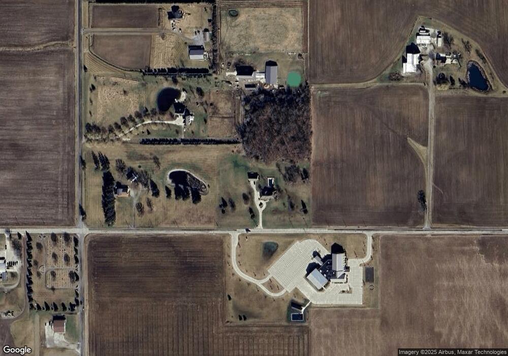
Map
Nearby Homes
- 404 Murbach St
- 552 Quail Run
- 301 N Pointe Dr
- 219 E Williams St
- 328 W Lutz Rd Unit 328
- 408 Ditto St
- 808 West St
- 0 Lafayette St
- 112 Sylvanus St
- 473 Dame St
- 224 Hawthorn Dr
- 209 Hawthorn Dr
- 1808 S Defiance St
- 18857 US Highway 20a
- 8579 County Road 23
- 3514 Gaslight Dr
- 17830 County Road C
- 23161 County Road Jk
- V-526 Co Rd 25
- 473 Windisch St
- 21936 Ohio 2
- 21936 State Route 2
- 5200 County Road 22
- 21596 State Route 2
- 21598 State Route 2
- 22089 Ohio 2
- 4756 County Road 22
- 22121 State Route 2
- 4801 County Road 22
- 22131 State Route 2
- 22231 State Route 2
- 21343 State Route 2
- 21372 State Route 2
- 21265 Ohio 2
- 21376 State Route 2
- 4527 County Road 22
- 21230 State Route 2
- 22365 State Route 2
- 5617 County Road 22
- 5616 County Road 22
Your Personal Tour Guide
Ask me questions while you tour the home.