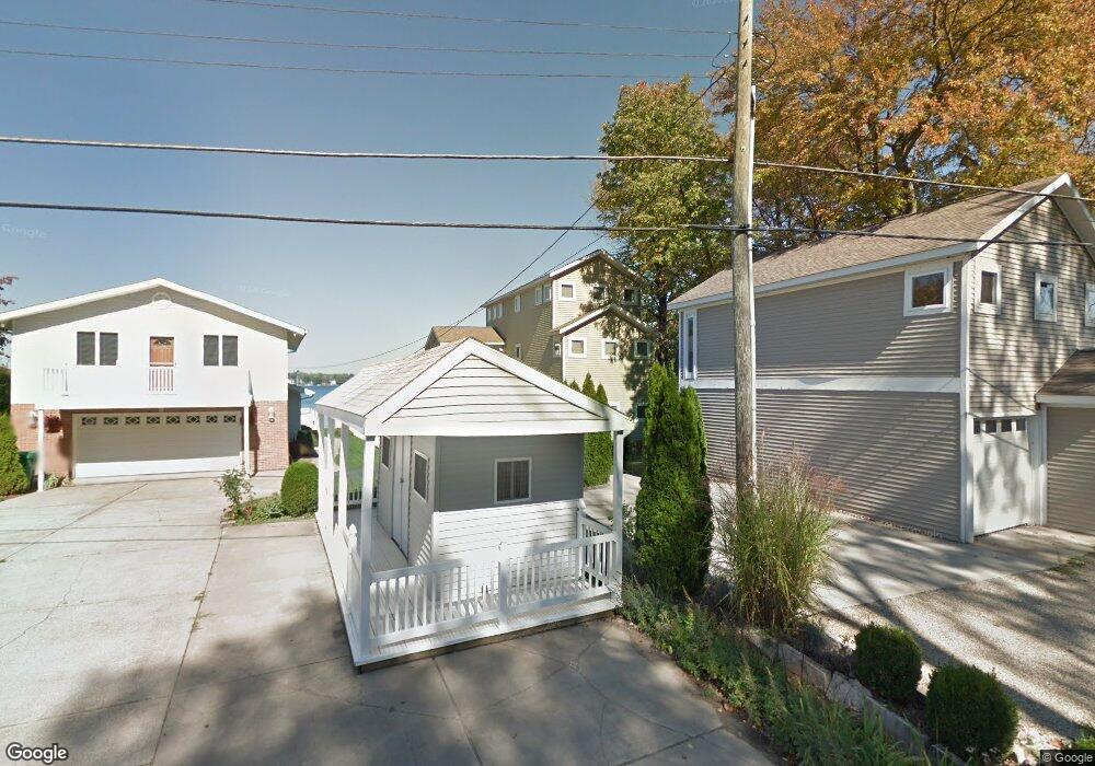
21764 Lake St Cassopolis, MI 49031
Estimated Value: $1,009,000 - $1,283,000
3
Beds
3
Baths
2,530
Sq Ft
$448/Sq Ft
Est. Value
About This Home
This home is located at 21764 Lake St, Cassopolis, MI 49031 and is currently estimated at $1,132,766, approximately $447 per square foot. 21764 Lake St is a home located in Cass County with nearby schools including Sam Adams Elementary School, Cassopolis Middle School, and Cassopolis Ross Beatty High School.
Ownership History
Date
Name
Owned For
Owner Type
Purchase Details
Closed on
Mar 15, 2010
Sold by
Johnson Robert A and Johnson Carol D
Bought by
Johnson Robert A and Johnson Carol D
Current Estimated Value
Purchase Details
Closed on
Jun 22, 2009
Sold by
Federal Deposit Insurance Corporation
Bought by
Johnson Robert A and Johnson Carol D
Home Financials for this Owner
Home Financials are based on the most recent Mortgage that was taken out on this home.
Original Mortgage
$330,000
Interest Rate
5.21%
Mortgage Type
Purchase Money Mortgage
Purchase Details
Closed on
Jun 19, 2009
Sold by
Us Bank Na
Bought by
Federal Deposit Insurance Corporation and Franklin Bank Ssb
Home Financials for this Owner
Home Financials are based on the most recent Mortgage that was taken out on this home.
Original Mortgage
$330,000
Interest Rate
5.21%
Mortgage Type
Purchase Money Mortgage
Purchase Details
Closed on
Apr 11, 2008
Sold by
Stoehler William D and Stoehler Noell H
Bought by
Us Bank Na
Create a Home Valuation Report for This Property
The Home Valuation Report is an in-depth analysis detailing your home's value as well as a comparison with similar homes in the area
Home Values in the Area
Average Home Value in this Area
Purchase History
| Date | Buyer | Sale Price | Title Company |
|---|---|---|---|
| Johnson Robert A | -- | None Available | |
| Johnson Robert A | $480,000 | None Available | |
| Federal Deposit Insurance Corporation | -- | None Available | |
| Us Bank Na | -- | E Title Agency |
Source: Public Records
Mortgage History
| Date | Status | Borrower | Loan Amount |
|---|---|---|---|
| Previous Owner | Johnson Robert A | $330,000 |
Source: Public Records
Tax History Compared to Growth
Tax History
| Year | Tax Paid | Tax Assessment Tax Assessment Total Assessment is a certain percentage of the fair market value that is determined by local assessors to be the total taxable value of land and additions on the property. | Land | Improvement |
|---|---|---|---|---|
| 2025 | $9,710 | $538,700 | $538,700 | $0 |
| 2024 | $2,377 | $368,200 | $368,200 | $0 |
| 2023 | $2,267 | $367,300 | $0 | $0 |
| 2022 | $2,159 | $367,100 | $0 | $0 |
| 2021 | $8,530 | $366,900 | $0 | $0 |
| 2020 | $2,071 | $366,900 | $0 | $0 |
| 2019 | $8,136 | $377,100 | $0 | $0 |
| 2018 | $1,988 | $385,200 | $0 | $0 |
| 2017 | $1,947 | $385,200 | $0 | $0 |
| 2016 | $1,929 | $179,600 | $0 | $0 |
| 2015 | -- | $244,200 | $0 | $0 |
| 2011 | -- | $404,300 | $0 | $0 |
Source: Public Records
Map
Nearby Homes
- 21373 Sail Bay Dr
- Tract 7 Brookside Ct
- Tract 6 Brookside Ct
- Tract 5 Brookside Ct
- Tract 4 Deep Woods Dr
- Tract 3 Deep Woods Dr
- Tract #2 Deep Woods Dr
- Tract 1 Deep Woods Dr
- 22345 Woodland St
- 22301 Forest Ave
- 61738 Lake View Dr
- 61412 Walnut St
- V/L M 62
- 61271 Lenawee Rd
- 813 Park Shore Dr
- 61189 Lenawee Rd
- 21687 Shiawassee Dr
- 60757 Beechwood Ln
- 61626 Colony Bay Dr Unit 15
- 126 S East St