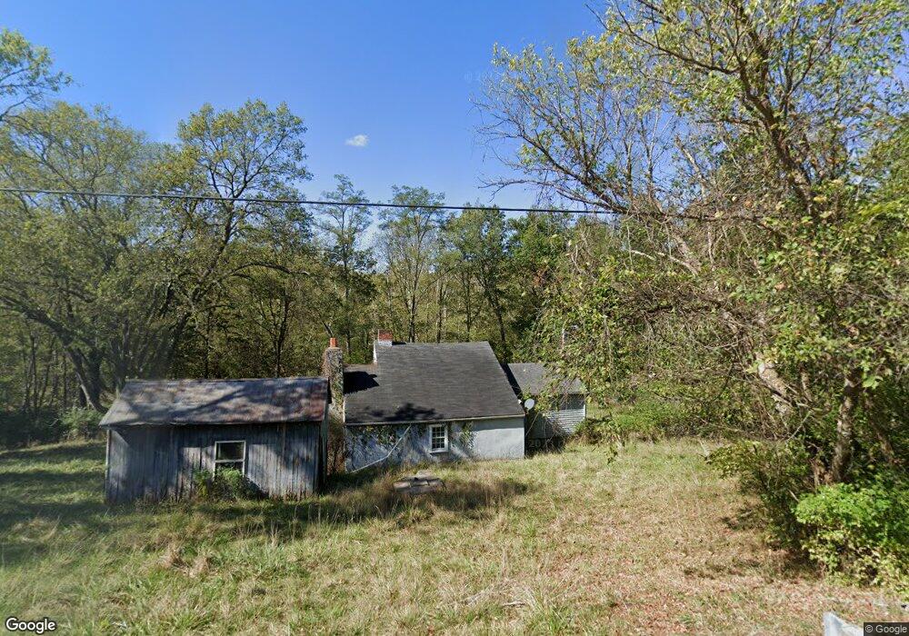
21773 State Route 1 Guilford, IN 47022
Estimated Value: $77,000 - $291,000
1
Bed
1
Bath
1,084
Sq Ft
$162/Sq Ft
Est. Value
About This Home
This home is located at 21773 State Route 1, Guilford, IN 47022 and is currently estimated at $175,400, approximately $161 per square foot. 21773 State Route 1 is a home with nearby schools including East Central High School.
Ownership History
Date
Name
Owned For
Owner Type
Purchase Details
Closed on
Sep 12, 2025
Sold by
Littleton Anthony T
Bought by
Wells Thomas E and Wells Jill R
Current Estimated Value
Purchase Details
Closed on
Aug 8, 2025
Sold by
Littleton Sherry
Bought by
Littleton Anthony T
Purchase Details
Closed on
Feb 9, 2017
Sold by
Littleton Anthony
Bought by
Littleton Sherry
Purchase Details
Closed on
Sep 18, 2012
Sold by
Ross Nancy
Bought by
Littleton Anthony
Purchase Details
Closed on
Nov 6, 2008
Sold by
Ross Elizabeth James
Bought by
Ross Nancy
Purchase Details
Closed on
Aug 4, 2008
Sold by
Ross Elizabeth James
Bought by
Ewbank William J
Create a Home Valuation Report for This Property
The Home Valuation Report is an in-depth analysis detailing your home's value as well as a comparison with similar homes in the area
Home Values in the Area
Average Home Value in this Area
Purchase History
| Date | Buyer | Sale Price | Title Company |
|---|---|---|---|
| Wells Thomas E | -- | None Listed On Document | |
| Littleton Anthony T | -- | None Listed On Document | |
| Littleton Sherry | -- | None Available | |
| Littleton Anthony | -- | -- | |
| Ross Nancy | -- | Ewbank & Kramer | |
| Ewbank William J | -- | Ewbank & Kramer |
Source: Public Records
Tax History Compared to Growth
Tax History
| Year | Tax Paid | Tax Assessment Tax Assessment Total Assessment is a certain percentage of the fair market value that is determined by local assessors to be the total taxable value of land and additions on the property. | Land | Improvement |
|---|---|---|---|---|
| 2024 | $1,359 | $73,300 | $41,700 | $31,600 |
| 2023 | $1,383 | $73,700 | $41,700 | $32,000 |
| 2022 | $1,863 | $104,100 | $41,700 | $62,400 |
| 2021 | $1,842 | $99,000 | $41,700 | $57,300 |
| 2020 | $1,804 | $99,100 | $41,700 | $57,400 |
| 2019 | $1,736 | $95,100 | $41,700 | $53,400 |
| 2018 | $1,654 | $91,100 | $41,700 | $49,400 |
| 2017 | $626 | $90,300 | $41,700 | $48,600 |
| 2016 | $608 | $90,300 | $41,700 | $48,600 |
| 2014 | $884 | $89,500 | $41,700 | $47,800 |
Source: Public Records
Map
Nearby Homes
- 21930 E Fork Rd
- 21661 State Route 1
- 21664 State Route 1
- 21664 Indiana 1
- 21926 Indiana 1
- 22017 State Route 1
- 22017 Indiana 1
- 21520 State Route 1
- 21926 State Route 1
- 22103 State Route 1
- 22040 State Route 1
- 4622 Monica Way Ln
- 22271 Mount Pleasant Rd
- 22302 Sawdon Ridge Rd
- 22207 State Route 1
- 21797 Mount Pleasant Rd
- 21647 Mount Pleasant Rd
- 21438 Mount Pleasant Rd
- 22322 Sawdon Ridge Rd