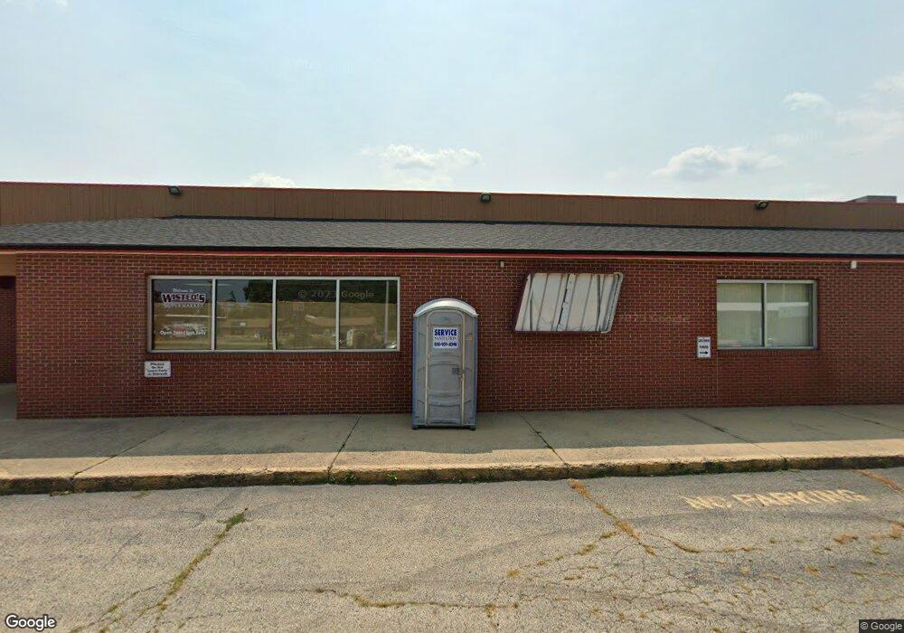
21775 W Grant Hwy Marengo, IL 60152
Estimated Value: $1,154,610
--
Bed
--
Bath
28,350
Sq Ft
$41/Sq Ft
Est. Value
About This Home
This home is located at 21775 W Grant Hwy, Marengo, IL 60152 and is currently estimated at $1,154,610, approximately $40 per square foot. 21775 W Grant Hwy is a home located in McHenry County with nearby schools including Locust Elementary School, Marengo Community Middle School, and Marengo Community High School.
Ownership History
Date
Name
Owned For
Owner Type
Purchase Details
Closed on
Dec 6, 2022
Sold by
Wbl Spo I Llc
Bought by
Superior Realty Holdings Llc
Current Estimated Value
Home Financials for this Owner
Home Financials are based on the most recent Mortgage that was taken out on this home.
Original Mortgage
$656,250
Outstanding Balance
$637,022
Interest Rate
7.08%
Mortgage Type
New Conventional
Estimated Equity
$517,588
Purchase Details
Closed on
Apr 7, 2022
Sold by
Judicial Sales Corporation
Bought by
Harold E Wisted Declaration Of Trust
Purchase Details
Closed on
May 27, 1994
Sold by
Wisted Harold E and Wisted Shirley
Bought by
Wisted Harold E
Create a Home Valuation Report for This Property
The Home Valuation Report is an in-depth analysis detailing your home's value as well as a comparison with similar homes in the area
Home Values in the Area
Average Home Value in this Area
Purchase History
| Date | Buyer | Sale Price | Title Company |
|---|---|---|---|
| Superior Realty Holdings Llc | $874,666 | -- | |
| Harold E Wisted Declaration Of Trust | -- | -- | |
| Wisted Harold E | -- | -- |
Source: Public Records
Mortgage History
| Date | Status | Borrower | Loan Amount |
|---|---|---|---|
| Open | Superior Realty Holdings Llc | $656,250 |
Source: Public Records
Tax History Compared to Growth
Tax History
| Year | Tax Paid | Tax Assessment Tax Assessment Total Assessment is a certain percentage of the fair market value that is determined by local assessors to be the total taxable value of land and additions on the property. | Land | Improvement |
|---|---|---|---|---|
| 2024 | $24,825 | $327,140 | $84,186 | $242,954 |
| 2023 | $24,388 | $288,382 | $74,212 | $214,170 |
| 2022 | $23,394 | $260,791 | $67,112 | $193,679 |
| 2021 | $21,896 | $237,623 | $61,150 | $176,473 |
| 2020 | $21,597 | $226,136 | $58,194 | $167,942 |
| 2019 | $22,929 | $214,265 | $55,139 | $159,126 |
| 2018 | $50,059 | $469,748 | $51,648 | $418,100 |
| 2017 | $48,664 | $444,964 | $48,923 | $396,041 |
| 2016 | $47,344 | $415,738 | $45,710 | $370,028 |
| 2013 | -- | $486,395 | $44,723 | $441,672 |
Source: Public Records
Map
Nearby Homes
- 459 Kennedy St
- 10 ac U S 20
- 479 Kennedy St
- 579 Johnson St
- 455 Park Dr
- 615 Park Dr
- 21820 W Railroad St
- 802 Echo (Lot 23) Trail
- 806 Echo (Lot 22) Trail
- 704 Echo (Lot 21) Trail
- 7 ACRES Menge Rd
- 832 Oak Manor Dr
- 6212 Meyer Rd
- 422 Damen St
- 115 Jackson St
- 906 N State St
- 4.71 AC W Grant Hwy
- 00 Maple St
- 830 N Taylor St
- 1101 N State St
- 1060 Briden Dr
- 1000-1100 Briden Dr
- 1110 Briden Dr
- 1120 Briden Dr
- 1055 Briden Dr Unit 3B
- 1045 Briden Dr Unit 3A
- 1075 Briden Dr Unit 3D
- 1065 Briden Dr Unit 3C
- 1015 Briden Dr Unit 2B
- 1025 Briden Dr Unit 2C
- 1035 Briden Dr Unit 2D
- 21714 W Grant Hwy
- 460 Johnson St
- 441 Johnson St Unit 4D
- 411 Johnson St Unit 4A
- 431 Johnson St Unit 4C
- 421 Johnson St Unit 4B
- 441 Johnson St Unit 4
- 301 Tioga Trail