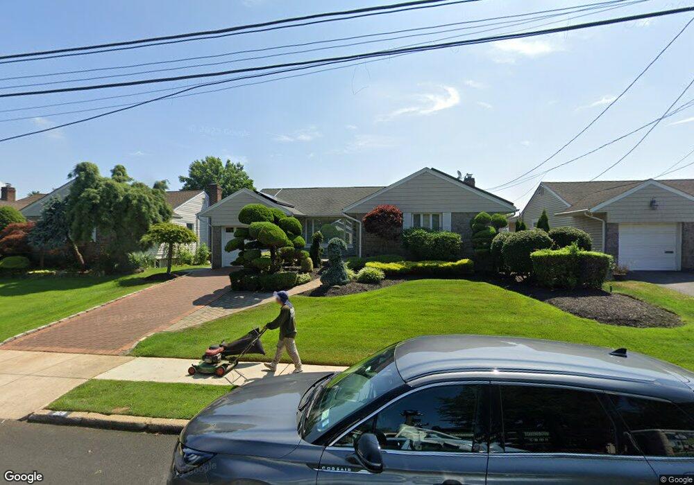
2178 Merokee Dr Merrick, NY 11566
Estimated Value: $868,332 - $1,235,000
Studio
3
Baths
1,979
Sq Ft
$531/Sq Ft
Est. Value
About This Home
This home is located at 2178 Merokee Dr, Merrick, NY 11566 and is currently estimated at $1,051,666, approximately $531 per square foot. 2178 Merokee Dr is a home located in Nassau County with nearby schools including Winthrop Avenue School, Shore Road School, and Grand Avenue Middle School.
Ownership History
Date
Name
Owned For
Owner Type
Purchase Details
Closed on
Dec 9, 2020
Sold by
Minogue John and Minogue Susan
Bought by
Minogue Trust
Current Estimated Value
Purchase Details
Closed on
Jun 21, 1995
Sold by
Hirsch Ronald and Hirsch Sally
Bought by
Minogue Jack and Minogue Susan
Home Financials for this Owner
Home Financials are based on the most recent Mortgage that was taken out on this home.
Original Mortgage
$244,000
Interest Rate
7.84%
Mortgage Type
Purchase Money Mortgage
Create a Home Valuation Report for This Property
The Home Valuation Report is an in-depth analysis detailing your home's value as well as a comparison with similar homes in the area
Home Values in the Area
Average Home Value in this Area
Purchase History
| Date | Buyer | Sale Price | Title Company |
|---|---|---|---|
| Minogue Trust | -- | None Available | |
| Minogue Trust | -- | None Available | |
| Minogue Trust | -- | None Available | |
| Minogue Jack | $305,000 | -- | |
| Minogue Jack | $305,000 | -- |
Source: Public Records
Mortgage History
| Date | Status | Borrower | Loan Amount |
|---|---|---|---|
| Previous Owner | Minogue Jack | $244,000 |
Source: Public Records
Tax History
| Year | Tax Paid | Tax Assessment Tax Assessment Total Assessment is a certain percentage of the fair market value that is determined by local assessors to be the total taxable value of land and additions on the property. | Land | Improvement |
|---|---|---|---|---|
| 2025 | $15,183 | $564 | $223 | $341 |
| 2024 | $3,734 | $544 | $216 | $328 |
| 2023 | $12,597 | $575 | $228 | $347 |
| 2022 | $12,597 | $573 | $227 | $346 |
| 2021 | $16,763 | $550 | $218 | $332 |
| 2020 | $10,853 | $654 | $567 | $87 |
| 2019 | $3,141 | $701 | $571 | $130 |
| 2018 | $6,982 | $747 | $0 | $0 |
| 2017 | $6,965 | $794 | $529 | $265 |
| 2016 | $10,240 | $840 | $532 | $308 |
| 2015 | $3,394 | $887 | $577 | $310 |
| 2014 | $3,394 | $887 | $577 | $310 |
| 2013 | $3,355 | $934 | $608 | $326 |
Source: Public Records
Map
Nearby Homes
- 2171 Seneca Dr S
- 18 Helene Ave
- 170 Woodbine Ave
- 43 Wynsum Ave
- 138 Hewlett Ave
- 498 Farmers Ave
- 24 Loines Ave
- 2009 Newbridge Rd
- 140 Frankel Blvd
- 2434 Martin Ave
- 16 Margaret Blvd
- 2374 Fish Ave
- 601 Hughes St
- 1931 Miller Place
- 217 Bayview Ave
- 2043 Ripley Ln
- 20 Kenneth Ave
- 23 Bay St
- 2550 Natta Blvd
- 2489 Beltagh Ave
- 2184 Merokee Dr
- 2172 Merokee Dr
- 2190 Merokee Dr
- 2168 Merokee Dr
- 2196 Merokee Dr
- 2177 Merokee Dr
- 2185 Merokee Dr
- 2164 Merokee Dr
- 2200 Merokee Place
- 2266 Smith St
- 2252 Smith St
- 2160 Merokee Dr
- 2141 Merokee Dr
- 2242 Smith St
- 2268 Grand Ave
- 2206 Merokee Place
- 2212 Merokee Place
- 21 Merokee Place
- 2276 Grand Ave
- 2278 Grand Ave
Your Personal Tour Guide
Ask me questions while you tour the home.