Estimated Value: $173,000 - $248,000
4
Beds
2
Baths
1,408
Sq Ft
$159/Sq Ft
Est. Value
About This Home
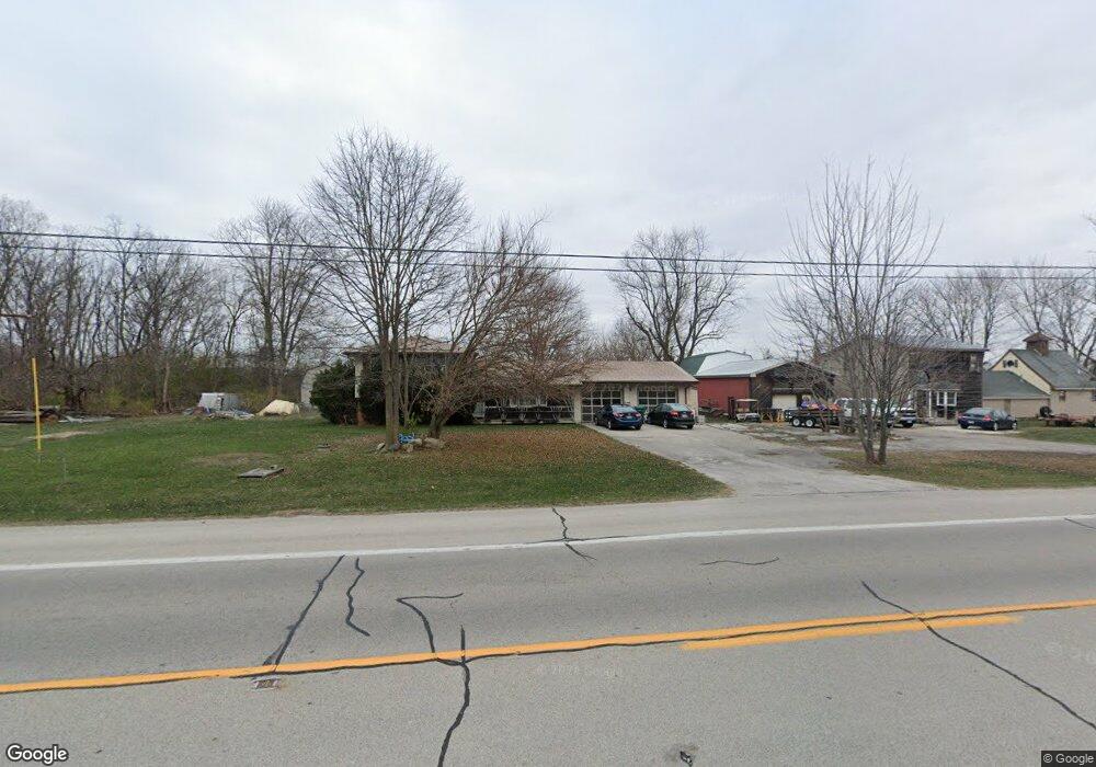
This home is located at 21795 State Route 51 W, Genoa, OH 43430 and is currently estimated at $223,910, approximately $159 per square foot. 21795 State Route 51 W is a home located in Ottawa County with nearby schools including Genoa Elementary School and Community Christian Academy.
Ownership History
Date
Name
Owned For
Owner Type
Purchase Details
Closed on
Jun 30, 1994
Sold by
Zich Tom
Bought by
Lewandowski Chester S and Lewandowski Myrna K
Current Estimated Value
Home Financials for this Owner
Home Financials are based on the most recent Mortgage that was taken out on this home.
Original Mortgage
$58,400
Interest Rate
4.25%
Mortgage Type
New Conventional
Create a Home Valuation Report for This Property
The Home Valuation Report is an in-depth analysis detailing your home's value as well as a comparison with similar homes in the area
Home Values in the Area
Average Home Value in this Area
Purchase History
| Date | Buyer | Sale Price | Title Company |
|---|---|---|---|
| Lewandowski Chester S | $73,000 | -- |
Source: Public Records
Mortgage History
| Date | Status | Borrower | Loan Amount |
|---|---|---|---|
| Closed | Lewandowski Chester S | $58,400 |
Source: Public Records
Tax History Compared to Growth
Tax History
| Year | Tax Paid | Tax Assessment Tax Assessment Total Assessment is a certain percentage of the fair market value that is determined by local assessors to be the total taxable value of land and additions on the property. | Land | Improvement |
|---|---|---|---|---|
| 2024 | $2,770 | $68,513 | $19,033 | $49,480 |
| 2023 | $2,770 | $57,215 | $15,876 | $41,339 |
| 2022 | $2,614 | $57,215 | $15,876 | $41,339 |
| 2021 | $2,322 | $57,220 | $15,880 | $41,340 |
| 2020 | $1,967 | $47,290 | $11,340 | $35,950 |
| 2019 | $1,950 | $47,290 | $11,340 | $35,950 |
| 2018 | $1,936 | $47,290 | $11,340 | $35,950 |
| 2017 | $1,753 | $42,880 | $11,340 | $31,540 |
| 2016 | $1,759 | $42,880 | $11,340 | $31,540 |
| 2015 | $2,276 | $42,880 | $11,340 | $31,540 |
| 2014 | $2,016 | $40,010 | $11,340 | $28,670 |
| 2013 | $2,021 | $40,010 | $11,340 | $28,670 |
Source: Public Records
Map
Nearby Homes
- 1301 West St
- 21490 Holts Rd E
- 207 E 11th St
- 208 W 9th St
- 514 West St
- 503 W 6th St
- 510 Wilson St
- 416 Castle Cove
- 215 Cherry St
- 22521 State Route 163
- 22899 W Hellwig Rd
- 1861 N Opfer-Lentz Rd
- 2190 N Centerfield Dr
- 23430 State Route 51 W
- 23385 W Moline Martin Rd
- 7310 W Camper Rd
- 19383 Courtland Ave
- 0 Recker Rd
- 1350 South St
- 2349 N Elliston Trowbridge Rd
- 21787 State Route 51 W
- 21873 State Route 51 W
- 1411 Washington St
- 21682 State Route 51 W
- 21725 W Holts East Rd
- 21925 State Route 51 W
- 21640 W Holts East Rd
- 1416 Washington St
- 108 E 15th St
- 1414 Washington St
- 1410 Washington St
- 1408 Washington St
- 1408 Washington St
- 1508 Washington St
- 1406 Washington St
- 21777 W Holts East Rd
- 21950 State Route 51 W
- 21610 W Holts East Rd
- 1404 Washington St
- 1306 Washington St