21799 McPhall Rd Armada, MI 48005
Estimated Value: $160,268 - $420,000
--
Bed
--
Bath
--
Sq Ft
10.47
Acres
About This Home
This home is located at 21799 McPhall Rd, Armada, MI 48005 and is currently estimated at $272,317. 21799 McPhall Rd is a home with nearby schools including Orville C. Krause Elementary School, Armada Middle School, and Armada High School.
Ownership History
Date
Name
Owned For
Owner Type
Purchase Details
Closed on
Feb 27, 2017
Sold by
Carroll Patricia
Bought by
Karas Jessica and Sabo Ryan J
Current Estimated Value
Home Financials for this Owner
Home Financials are based on the most recent Mortgage that was taken out on this home.
Original Mortgage
$62,000
Outstanding Balance
$10,988
Interest Rate
4.09%
Mortgage Type
Future Advance Clause Open End Mortgage
Estimated Equity
$261,329
Purchase Details
Closed on
Dec 26, 2016
Sold by
Minor Leeann
Bought by
Carroll Patricia
Purchase Details
Closed on
Jul 21, 1999
Sold by
Ahee Mary M
Bought by
Bernasconi Charlene M
Create a Home Valuation Report for This Property
The Home Valuation Report is an in-depth analysis detailing your home's value as well as a comparison with similar homes in the area
Home Values in the Area
Average Home Value in this Area
Purchase History
| Date | Buyer | Sale Price | Title Company |
|---|---|---|---|
| Karas Jessica | $79,000 | None Available | |
| Carroll Patricia | -- | None Available | |
| Bernasconi Charlene M | $86,000 | -- |
Source: Public Records
Mortgage History
| Date | Status | Borrower | Loan Amount |
|---|---|---|---|
| Open | Karas Jessica | $62,000 |
Source: Public Records
Tax History Compared to Growth
Tax History
| Year | Tax Paid | Tax Assessment Tax Assessment Total Assessment is a certain percentage of the fair market value that is determined by local assessors to be the total taxable value of land and additions on the property. | Land | Improvement |
|---|---|---|---|---|
| 2025 | $2,647 | $65,600 | $0 | $0 |
| 2024 | $1,522 | $60,500 | $0 | $0 |
| 2023 | $1,445 | $51,500 | $0 | $0 |
| 2022 | $2,361 | $47,500 | $0 | $0 |
| 2021 | $2,292 | $45,500 | $0 | $0 |
| 2020 | $1,355 | $46,000 | $0 | $0 |
| 2019 | $2,195 | $45,500 | $0 | $0 |
| 2018 | $2,147 | $44,000 | $0 | $0 |
| 2017 | $1,575 | $40,300 | $0 | $0 |
| 2016 | $1,562 | $40,300 | $0 | $0 |
| 2015 | -- | $37,300 | $0 | $0 |
| 2011 | -- | $37,396 | $37,396 | $0 |
Source: Public Records
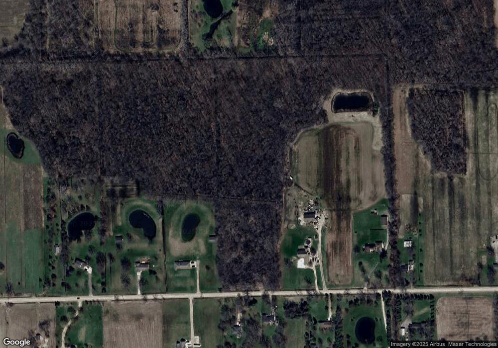
Map
Nearby Homes
- 21790 McPhall Rd
- 23335 McPhall Rd
- 21550 Irwin Rd
- 00 Irwin Rd
- 0 Irwin Unit 20251018591
- 2.0 Acres Vacant Lan Coon Creek Rd
- 75901 North Ave
- 14150 Hough Rd
- 408 Howell Rd
- 14476 Gilbert Rd
- 24800 Dayton Rd
- 15330 Hough Rd
- 00 Holmes Rd
- 5414 Bordman Rd
- 23700 E Main St
- 0 Almont Rd Unit 20250028194
- 76438 Burman Rd
- 73391 Fulton St
- 0 (020) Holmes Rd
- 0 (010) Holmes Rd
- 21795 McPhall Rd
- 21841 McPhall Rd
- 21881 McPhall Rd
- 21705 McPhall Rd
- 21901 McPhall Rd
- 21770 McPhall Rd
- 21850 McPhall Rd
- 21655 McPhall Rd
- 21980 McPhall Rd
- 21920 McPhall Rd
- 21515 McPhall Rd
- 21750 McPhall Rd
- 21600 McPhall Rd
- 21800 Pratt Rd
- 21750 Pratt Rd
- 22001 McPhall Rd
- 21820 Pratt Rd
- 22075 McPhall Rd
- 21890 Pratt Rd
- 21900 Pratt Rd