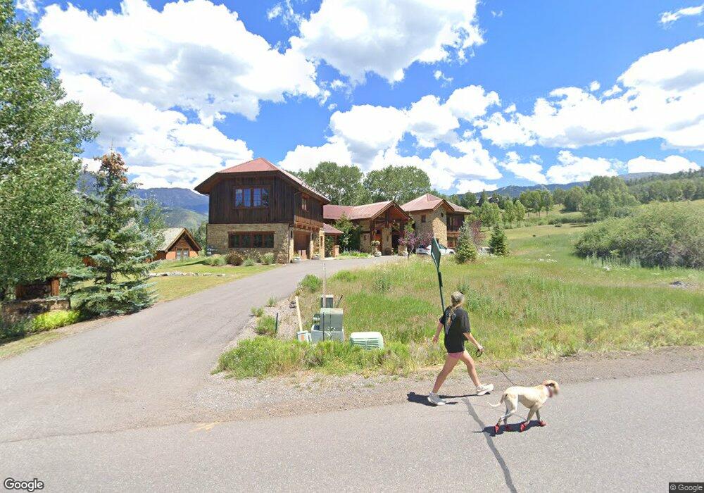
218 Adams Ranch Rd Unit 412 Telluride, CO 81435
Estimated Value: $5,843,000 - $6,418,000
4
Beds
5
Baths
5,084
Sq Ft
$1,220/Sq Ft
Est. Value
About This Home
This home is located at 218 Adams Ranch Rd Unit 412, Telluride, CO 81435 and is currently estimated at $6,201,396, approximately $1,219 per square foot. 218 Adams Ranch Rd Unit 412 is a home located in San Miguel County with nearby schools including Telluride Intermediate School, Telluride Middle School, and Telluride High School.
Ownership History
Date
Name
Owned For
Owner Type
Purchase Details
Closed on
Jul 25, 2005
Sold by
Kirst Daniel and Kirst Jane N
Bought by
Smith Phillip P and Smith Susan A
Current Estimated Value
Purchase Details
Closed on
Jul 13, 1999
Sold by
Phillips-Kirst Land & Cattle
Bought by
Kirst J Daniel J and Kirst Jane N
Purchase Details
Closed on
Jan 28, 1993
Sold by
Adams Homestead Land Company
Bought by
Phillips-Kirst Land And Cattle
Create a Home Valuation Report for This Property
The Home Valuation Report is an in-depth analysis detailing your home's value as well as a comparison with similar homes in the area
Home Values in the Area
Average Home Value in this Area
Purchase History
| Date | Buyer | Sale Price | Title Company |
|---|---|---|---|
| Smith Phillip P | $2,200,000 | Telluride Mountain Title Co | |
| Kirst J Daniel J | $100,000 | -- | |
| Phillips-Kirst Land And Cattle | $193,000 | -- |
Source: Public Records
Tax History Compared to Growth
Tax History
| Year | Tax Paid | Tax Assessment Tax Assessment Total Assessment is a certain percentage of the fair market value that is determined by local assessors to be the total taxable value of land and additions on the property. | Land | Improvement |
|---|---|---|---|---|
| 2024 | $16,011 | $265,800 | $34,170 | $231,630 |
| 2023 | $15,302 | $268,370 | $34,500 | $233,870 |
| 2022 | $10,091 | $197,870 | $34,500 | $163,370 |
| 2021 | $10,396 | $194,120 | $21,450 | $172,670 |
| 2020 | $9,298 | $175,960 | $25,740 | $150,220 |
| 2019 | $9,238 | $175,960 | $25,740 | $150,220 |
| 2018 | $8,103 | $157,790 | $0 | $0 |
| 2017 | $7,404 | $157,790 | $25,650 | $132,140 |
| 2016 | $10,525 | $184,060 | $28,360 | $155,700 |
| 2015 | $10,290 | $184,060 | $28,360 | $155,700 |
| 2014 | $9,207 | $0 | $0 | $0 |
Source: Public Records
Map
Nearby Homes
- 102 Double Eagle Way
- 103 Double Eagle Way Unit 412
- 215 Double Eagle Dr Unit C-1
- 0 Lawson Unit AR25 43605
- 316 Fairway Dr Unit 25
- 0 Adams Way Unit 57R2 43661
- 0 Adams Way Unit 57R1 43640
- 0 Adams Way Unit AR54 43629
- 121 Adams Way
- 209 Knoll Estates Dr Unit 19
- 100 Eagle Dr
- 134 Adams Way
- 12 Eagle Dr
- 167 Adams Ranch Rd
- 119 Touchdown Dr Unit 9
- 123 Boulders Way
- 121 Touchdown Dr Unit 9
- 206 Society Dr
- 319 Adams Ranch Rd Unit 1302
- 501 Society Dr Unit 3
- 220 Adams Ranch Rd Unit 412
- 214 Adams Ranch Rd
- 211 Adams Ranch Rd Unit 14
- 226 Adams Ranch Rd
- 225 Adams Ranch Rd Unit C
- 225 Adams Ranch Rd
- 103 Lawson Overlook
- 110 Singletree Ridge
- 112 Singletree Ridge Unit 14
- 5 Lawson Point Unit AR613-C2
- 5 Lawson Point
- 5 Lawson Point Ar613-C2
- 108 Singletree Ridge Unit F
- 176 Lawson Overlook
- 106 Singletree Ridge
- 122 Singletree Way
- 245 Adams Ranch Rd
- 239 Adams Ranch Rd
- 106 Lawson Overlook Unit 6A
- 158 Double Eagle Dr Unit 9