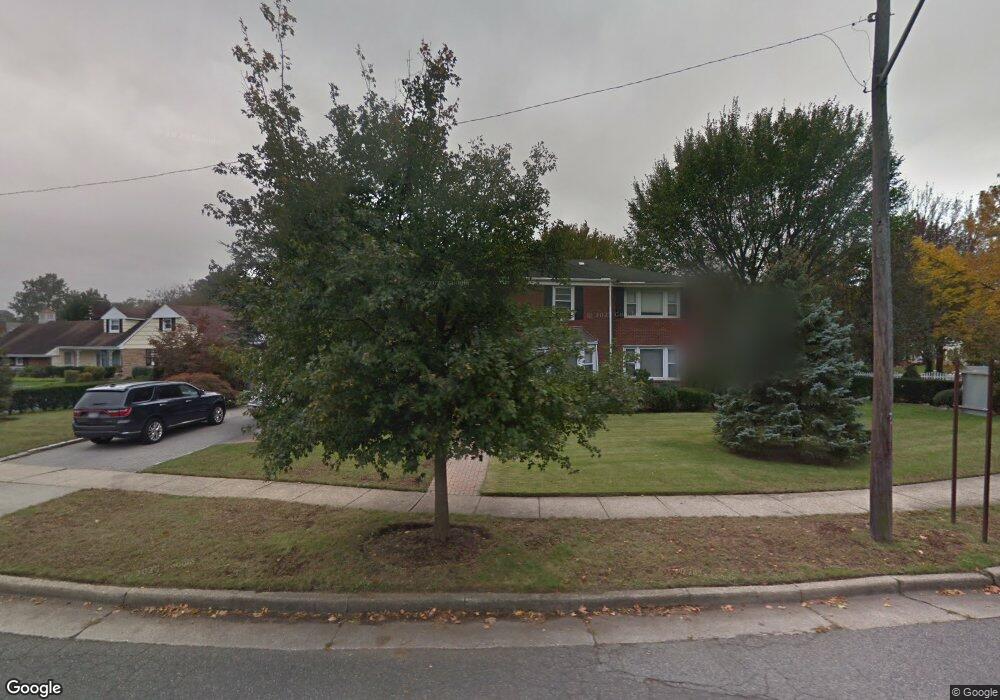
218 Atlantic Ave Hempstead, NY 11550
Estimated Value: $1,252,864 - $1,339,000
--
Bed
3
Baths
3,282
Sq Ft
$395/Sq Ft
Est. Value
About This Home
This home is located at 218 Atlantic Ave, Hempstead, NY 11550 and is currently estimated at $1,295,932, approximately $394 per square foot. 218 Atlantic Ave is a home located in Nassau County with nearby schools including The Academy Charter School, Crescent School, and St Joseph Elementary School.
Ownership History
Date
Name
Owned For
Owner Type
Purchase Details
Closed on
Aug 10, 2010
Sold by
Harris William H and Harris Celestine V
Bought by
Etienne Paulin M
Current Estimated Value
Home Financials for this Owner
Home Financials are based on the most recent Mortgage that was taken out on this home.
Original Mortgage
$536,000
Outstanding Balance
$354,884
Interest Rate
4.57%
Mortgage Type
Purchase Money Mortgage
Estimated Equity
$941,048
Create a Home Valuation Report for This Property
The Home Valuation Report is an in-depth analysis detailing your home's value as well as a comparison with similar homes in the area
Home Values in the Area
Average Home Value in this Area
Purchase History
| Date | Buyer | Sale Price | Title Company |
|---|---|---|---|
| Etienne Paulin M | $670,000 | -- |
Source: Public Records
Mortgage History
| Date | Status | Borrower | Loan Amount |
|---|---|---|---|
| Open | Etienne Paulin M | $536,000 |
Source: Public Records
Tax History Compared to Growth
Tax History
| Year | Tax Paid | Tax Assessment Tax Assessment Total Assessment is a certain percentage of the fair market value that is determined by local assessors to be the total taxable value of land and additions on the property. | Land | Improvement |
|---|---|---|---|---|
| 2025 | $16,395 | $646 | $212 | $434 |
| 2024 | $1,589 | $652 | $214 | $438 |
| 2023 | $14,955 | $687 | $225 | $462 |
| 2022 | $14,955 | $687 | $225 | $462 |
| 2021 | $19,872 | $666 | $190 | $476 |
| 2020 | $11,934 | $790 | $566 | $224 |
| 2019 | $13,327 | $847 | $389 | $458 |
| 2018 | $13,734 | $1,320 | $0 | $0 |
| 2017 | $17,245 | $1,320 | $607 | $713 |
| 2016 | $19,555 | $1,320 | $607 | $713 |
| 2015 | $2,210 | $1,320 | $607 | $713 |
| 2014 | $2,210 | $1,320 | $607 | $713 |
| 2013 | $2,046 | $1,320 | $607 | $713 |
Source: Public Records
Map
Nearby Homes
- 200 Hilton Ave Unit 55
- 20 Wendell St Unit A16
- 20 Wendell St Unit E2
- 20 Wendell St Unit 39C
- 144 Hilton Ave
- 12 Hamilton Place Unit B5
- 12 Hamilton Place Unit A-10
- 12 Hamilton Place Unit D-11
- 22 Hamilton Place Unit I1
- 127 2nd St Unit D1
- 82 Hilton Ave
- 67 3rd St
- 32 Hamilton Place Unit I3
- 35 Mulford Place
- 22 Mulford Place Unit 2D
- 22 Mulford Place Unit 6C
- 30 Cathedral Ave Unit 4A
- 32 Cathedral Ave Unit 6c
- 88 5th St
- 39 Hilbert St
- 220 Cathedral Ave
- 206 Atlantic Ave
- 212 Cathedral Ave
- 200 Cathedral Ave
- 199 Atlantic Ave
- 215 Atlantic Ave
- 192 Atlantic Ave
- 192 Atlantic Ave Unit 2
- 1 Barnes Ln
- 2 Barnes Ln
- 15 Garden Place
- 233 Cathedral Ave
- 23 Garden Place
- 194 Cathedral Ave
- 237 Cathedral Ave
- 7 Garden Place
- 189 Atlantic Ave
- 1 Atlantic Ave
- 3 Barnes Ln
- 31 Garden Place