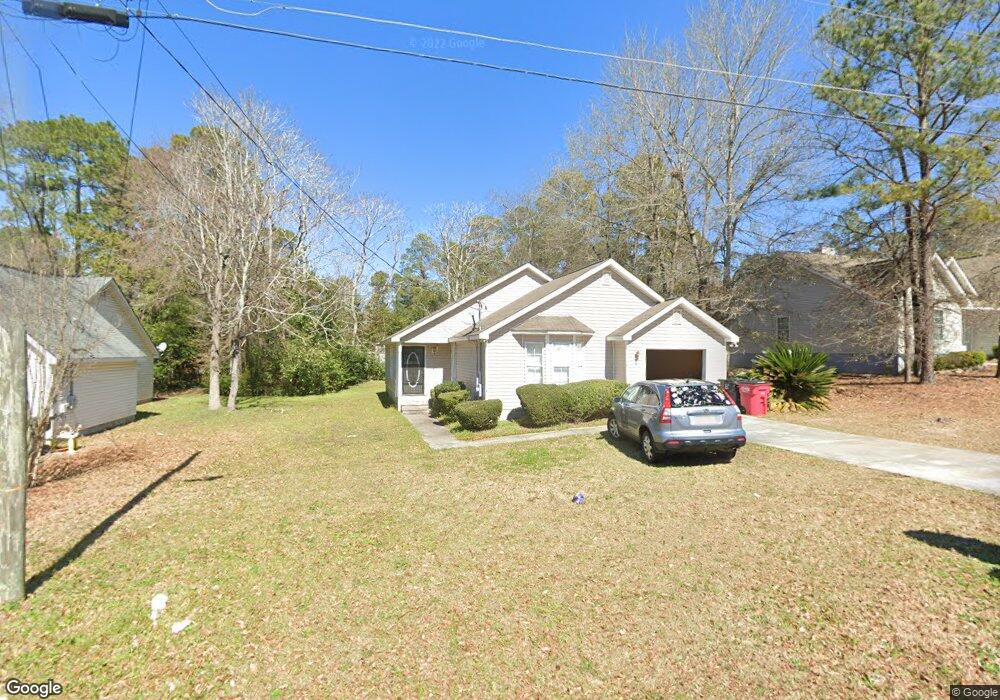
218 Bradstone Cir Macon, GA 31217
Estimated Value: $95,000 - $171,000
3
Beds
2
Baths
1,325
Sq Ft
$103/Sq Ft
Est. Value
About This Home
This home is located at 218 Bradstone Cir, Macon, GA 31217 and is currently estimated at $136,409, approximately $102 per square foot. 218 Bradstone Cir is a home located in Bibb County with nearby schools including Martin Luther King Jr. Elementary School, Appling Middle School, and Northeast High School.
Ownership History
Date
Name
Owned For
Owner Type
Purchase Details
Closed on
Dec 13, 2012
Sold by
Secretart Of Housing And Urban Developme
Bought by
B B & P Holdings Llc
Current Estimated Value
Purchase Details
Closed on
Jul 5, 2012
Sold by
Bank Of America Na
Bought by
Secretary Of Hud
Purchase Details
Closed on
Jun 5, 2012
Sold by
Lewis William and Waller Lashawn
Bought by
Bank Of America Na
Purchase Details
Closed on
Jan 30, 2002
Bought by
Lewis William A
Create a Home Valuation Report for This Property
The Home Valuation Report is an in-depth analysis detailing your home's value as well as a comparison with similar homes in the area
Home Values in the Area
Average Home Value in this Area
Purchase History
| Date | Buyer | Sale Price | Title Company |
|---|---|---|---|
| B B & P Holdings Llc | $29,500 | None Available | |
| Secretary Of Hud | -- | None Available | |
| Bank Of America Na | $104,629 | None Available | |
| Lewis William A | $86,500 | -- |
Source: Public Records
Tax History Compared to Growth
Tax History
| Year | Tax Paid | Tax Assessment Tax Assessment Total Assessment is a certain percentage of the fair market value that is determined by local assessors to be the total taxable value of land and additions on the property. | Land | Improvement |
|---|---|---|---|---|
| 2025 | $1,073 | $43,660 | $5,200 | $38,460 |
| 2024 | $1,109 | $43,660 | $5,200 | $38,460 |
| 2023 | $1,109 | $43,660 | $5,200 | $38,460 |
| 2022 | $1,204 | $34,763 | $5,200 | $29,563 |
| 2021 | $901 | $23,708 | $4,000 | $19,708 |
| 2020 | $920 | $23,708 | $4,000 | $19,708 |
| 2019 | $928 | $23,708 | $4,000 | $19,708 |
| 2018 | $1,601 | $23,708 | $4,000 | $19,708 |
| 2017 | $888 | $23,708 | $4,000 | $19,708 |
| 2016 | $824 | $23,824 | $6,480 | $17,344 |
| 2015 | $1,167 | $23,824 | $6,480 | $17,344 |
| 2014 | $1,484 | $26,357 | $6,480 | $19,877 |
Source: Public Records
Map
Nearby Homes
- 2130 New Clinton Rd
- 2229 New Clinton Rd
- 2146 Melton Ave
- 2066 Melton Ave
- 2370 Recreation Rd
- 1840 Kinder Kare Dr
- 875 Artic Cir
- 1818 Kinder Kare Dr
- 837 Artic Cir
- 875 Artic Place
- 4436 Jeffersonville Rd
- 2675 Andy Dr
- 860 Morningside Dr
- 2720 Jordan Ave
- 909 Johnson St
- 2954 Tyler Place
- 2458 Tredway Dr
- 2371 Kensington Rd
- 2792 Skyline Dr
- 1008 Sunnydale Dr
- 218 Bradstone Cir Unit 43
- 222 Bradstone Cir
- 214 Bradstone Cir
- 226 Bradstone Cir
- 2339 Bristol Dr
- 210 Bradstone Cir
- 2333 Bristol Dr
- 2345 Bristol Dr
- 217 Bradstone Cir
- 221 Bradstone Cir
- 213 Bradstone Cir
- 2351 Bristol Dr
- 2327 Bristol Dr
- 225 Bradstone Cir
- 230 Bradstone Cir
- 230 Bradstone Cir Unit 4
- 206 Bradstone Cir
- 2357 Bristol Dr Unit A13
- 2357 Bristol Dr
- 229 Bradstone Cir