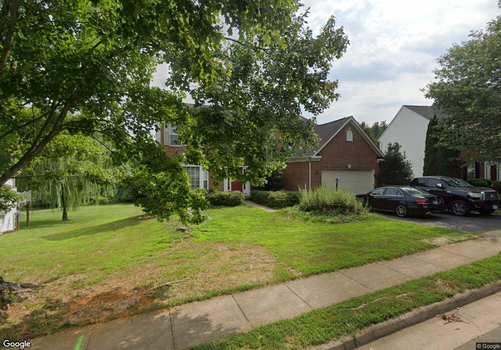
218 Cannon Way Warrenton, VA 20186
Estimated Value: $713,784 - $770,000
4
Beds
3
Baths
2,620
Sq Ft
$283/Sq Ft
Est. Value
About This Home
This home is located at 218 Cannon Way, Warrenton, VA 20186 and is currently estimated at $741,946, approximately $283 per square foot. 218 Cannon Way is a home located in Fauquier County with nearby schools including James G. Brumfield Elementary School, W.C. Taylor Middle School, and Fauquier High School.
Ownership History
Date
Name
Owned For
Owner Type
Purchase Details
Closed on
Mar 29, 2002
Sold by
N V R Inc
Bought by
Sellars Stanley B
Current Estimated Value
Home Financials for this Owner
Home Financials are based on the most recent Mortgage that was taken out on this home.
Original Mortgage
$307,800
Outstanding Balance
$128,235
Interest Rate
6.88%
Mortgage Type
New Conventional
Estimated Equity
$613,711
Create a Home Valuation Report for This Property
The Home Valuation Report is an in-depth analysis detailing your home's value as well as a comparison with similar homes in the area
Home Values in the Area
Average Home Value in this Area
Purchase History
| Date | Buyer | Sale Price | Title Company |
|---|---|---|---|
| Sellars Stanley B | $317,325 | -- |
Source: Public Records
Mortgage History
| Date | Status | Borrower | Loan Amount |
|---|---|---|---|
| Open | Sellars Stanley B | $307,800 |
Source: Public Records
Tax History Compared to Growth
Tax History
| Year | Tax Paid | Tax Assessment Tax Assessment Total Assessment is a certain percentage of the fair market value that is determined by local assessors to be the total taxable value of land and additions on the property. | Land | Improvement |
|---|---|---|---|---|
| 2025 | $5,130 | $530,500 | $135,000 | $395,500 |
| 2024 | $5,003 | $530,500 | $135,000 | $395,500 |
| 2023 | $4,790 | $530,500 | $135,000 | $395,500 |
| 2022 | $4,790 | $530,500 | $135,000 | $395,500 |
| 2021 | $4,115 | $414,000 | $125,000 | $289,000 |
| 2020 | $4,115 | $414,000 | $125,000 | $289,000 |
| 2019 | $4,115 | $414,000 | $125,000 | $289,000 |
| 2018 | $4,065 | $414,000 | $125,000 | $289,000 |
| 2016 | $4,069 | $391,600 | $125,000 | $266,600 |
| 2015 | -- | $391,600 | $125,000 | $266,600 |
| 2014 | -- | $391,600 | $125,000 | $266,600 |
Source: Public Records
Map
Nearby Homes
- 0 Walker Dr Unit A-103 VAFQ2015990
- 0 Walker Dr Unit A-104 VAFQ2015992
- 0 Walker Dr Unit A-102 VAFQ2015988
- 0 Walker Dr Unit A-113 VAFQ2015994
- 0 Walker Dr Unit A-101 VAFQ2015948
- 0 Walker Dr Unit A-112 VAFQ2015996
- 278 Alexandria Pike
- 315 Winterset Ln
- 135 Haiti St
- 107 Haiti St
- 155 Royal Ct
- 335 Preston Dr
- 173 Autumn Wind Ct
- 2 Millfield Dr
- 311 Winterset Ln
- 3044 Clearview Farm
- 541 Highland Towne Ln
- 50 Culpeper St
- LOT 1 Blackwell Rd
- 90B Leeds Ct E Unit 90 B
- 214 Cannon Way
- 222 Cannon Way
- 215 Cannon Way
- 226 Cannon Way
- 210 Cannon Way
- 230 Cannon Way
- 206 Cannon Way
- 235 Cannon Way
- 334 Singleton Cir
- 336 Singleton Cir
- 238 Cannon Way
- 203 Amber Cir
- 240 Amber Cir Unit 30
- 244 Amber Cir
- 240 Amber Cir
- 248 Amber Cir
- 202 Cannon Way
- 236 Amber Cir
- 338 Singleton Cir
- 151 Benner Dr