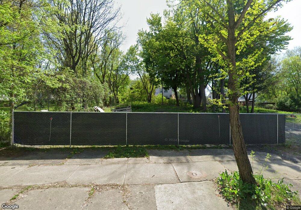
218 Colonie St Albany, NY 12210
Arbor Hill NeighborhoodEstimated Value: $75,000 - $190,000
4
Beds
2
Baths
1,806
Sq Ft
$64/Sq Ft
Est. Value
About This Home
This home is located at 218 Colonie St, Albany, NY 12210 and is currently estimated at $115,667, approximately $64 per square foot. 218 Colonie St is a home located in Albany County with nearby schools including Arbor Hill Elementary School, William S Hackett Middle School, and Albany High School.
Ownership History
Date
Name
Owned For
Owner Type
Purchase Details
Closed on
Mar 17, 2021
Sold by
Labany County Land Bank Corporation
Bought by
Faggans Lisa
Current Estimated Value
Purchase Details
Closed on
Jul 12, 2013
Sold by
Mekkatte Management Corp
Bought by
Clark Clyde Claude
Purchase Details
Closed on
Dec 17, 2008
Sold by
Scott Mathilde
Bought by
Makkatte Management Co
Purchase Details
Closed on
Jul 18, 2005
Purchase Details
Closed on
Dec 13, 2002
Sold by
Martin Monic
Bought by
Shmenco David
Create a Home Valuation Report for This Property
The Home Valuation Report is an in-depth analysis detailing your home's value as well as a comparison with similar homes in the area
Home Values in the Area
Average Home Value in this Area
Purchase History
| Date | Buyer | Sale Price | Title Company |
|---|---|---|---|
| Faggans Lisa | $2,500 | Elite Title | |
| Clark Clyde Claude | -- | None Available | |
| Makkatte Management Co | $1,500 | -- | |
| Makkatte Management Corp | $1,500 | None Available | |
| -- | $19,322 | -- | |
| Shmenco David | $18,000 | -- | |
| Shmenco David | $18,000 | -- |
Source: Public Records
Tax History Compared to Growth
Tax History
| Year | Tax Paid | Tax Assessment Tax Assessment Total Assessment is a certain percentage of the fair market value that is determined by local assessors to be the total taxable value of land and additions on the property. | Land | Improvement |
|---|---|---|---|---|
| 2024 | $31 | $1,000 | $1,000 | $0 |
| 2023 | $39 | $1,000 | $1,000 | $0 |
| 2022 | $39 | $1,000 | $1,000 | $0 |
| 2021 | $38 | $1,000 | $1,000 | $0 |
| 2020 | $24 | $1,000 | $1,000 | $0 |
| 2019 | -- | $1,000 | $1,000 | $0 |
| 2018 | $22,049 | $1,000 | $1,000 | $0 |
| 2017 | $22,049 | $1,000 | $1,000 | $0 |
| 2016 | $175 | $1,000 | $1,000 | $0 |
| 2015 | $482 | $1,000 | $1,000 | $0 |
| 2014 | -- | $15,000 | $1,500 | $13,500 |
Source: Public Records
Map
Nearby Homes
- 302 Colonie St
- 222 Livingston Ave
- 230 Livingston Ave
- 279 Livingston Ave
- 74-84 Livingston Ave
- 219 1st St
- 211 Clinton Ave
- 79 1st St
- 18 Dudley Heights
- 20 Pennsylvania Ave
- 97 Lark St
- 101 Lark St
- 8 Dove St
- 235-235.5 N Pearl St
- 116 Lark St
- 113 Lark St
- 269 3rd St
- 47 Ten Broeck St
- 206 N Pearl St Unit 102
- 338 Orange St
- 220 Colonie St
- 224 Colonie St
- 226 Colonie St
- 228 Colonie St
- 201 Livingston Ave
- 199 Livingston Ave
- 205 Livingston Ave
- 197 Livingston Ave
- 235 Colonie St
- 233 Colonie St
- 195 Livingston Ave
- 207 Livingston Ave
- 239 Colonie St
- 193 Livingston Ave
- 231 Colonie St
- 229 Colonie St
- 241 Colonie St
- 211 Livingston Ave
- 227 Colonie St
- 191 Livingston Ave
