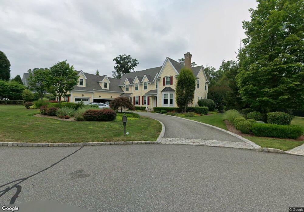
218 Deepbrook Rd Wyckoff, NJ 07481
Estimated Value: $2,564,381 - $2,978,000
--
Bed
--
Bath
5,066
Sq Ft
$545/Sq Ft
Est. Value
About This Home
This home is located at 218 Deepbrook Rd, Wyckoff, NJ 07481 and is currently estimated at $2,762,095, approximately $545 per square foot. 218 Deepbrook Rd is a home with nearby schools including Dwight D Eisenhower Middle School, Ramapo High School, and Indian Hills High School.
Ownership History
Date
Name
Owned For
Owner Type
Purchase Details
Closed on
Aug 31, 2012
Sold by
Barrister Home Construction Inc
Bought by
Brady Robert D and Brady Tara
Current Estimated Value
Home Financials for this Owner
Home Financials are based on the most recent Mortgage that was taken out on this home.
Original Mortgage
$1,320,000
Outstanding Balance
$219,317
Interest Rate
3.57%
Mortgage Type
Stand Alone Refi Refinance Of Original Loan
Estimated Equity
$2,542,778
Create a Home Valuation Report for This Property
The Home Valuation Report is an in-depth analysis detailing your home's value as well as a comparison with similar homes in the area
Home Values in the Area
Average Home Value in this Area
Purchase History
| Date | Buyer | Sale Price | Title Company |
|---|---|---|---|
| Brady Robert D | $1,650,000 | -- |
Source: Public Records
Mortgage History
| Date | Status | Borrower | Loan Amount |
|---|---|---|---|
| Open | Brady Robert D | $1,320,000 |
Source: Public Records
Tax History Compared to Growth
Tax History
| Year | Tax Paid | Tax Assessment Tax Assessment Total Assessment is a certain percentage of the fair market value that is determined by local assessors to be the total taxable value of land and additions on the property. | Land | Improvement |
|---|---|---|---|---|
| 2025 | $36,900 | $1,892,300 | $631,600 | $1,260,700 |
| 2024 | $35,821 | $1,892,300 | $631,600 | $1,260,700 |
| 2023 | $34,856 | $1,892,300 | $631,600 | $1,260,700 |
| 2022 | $34,856 | $1,892,300 | $631,600 | $1,260,700 |
| 2021 | $35,083 | $1,892,300 | $631,600 | $1,260,700 |
| 2020 | $34,724 | $1,892,300 | $631,600 | $1,260,700 |
| 2019 | $34,251 | $1,892,300 | $631,600 | $1,260,700 |
| 2018 | $33,721 | $1,892,300 | $631,600 | $1,260,700 |
| 2017 | $33,304 | $1,892,300 | $631,600 | $1,260,700 |
| 2016 | $32,775 | $1,892,300 | $631,600 | $1,260,700 |
| 2015 | $32,415 | $1,843,000 | $631,600 | $1,211,400 |
| 2014 | $27,912 | $1,707,200 | $520,000 | $1,187,200 |
Source: Public Records
Map
Nearby Homes
- 120 Ravine Ave
- 427 Grandview Ave
- 535 Lafayette Ave
- 1079 Lafayette Ave Extension
- 488 Baxter Ave
- 400 Goffle Hill Rd
- 80 Mary Ann Ln
- 352 Amherst St
- 113 Highview Ter Land
- 431 Goffle Rd
- 484 Caldwell Dr
- 144 Emeline Dr
- 50 Faner Rd
- 113 Highview Terrace
- 237 Goffle Rd
- 11 Surrey Place Unit 1
- 11 Surrey Place
- 396 Knollwood Rd
- 480 Knollwood Rd
- 412 N 4th Ave
- 214 Deepbrook Rd
- 222 Deep Brook Rd
- 215 Deepbrook Rd
- 219 Deep Brook Rd
- 210 Deep Brook Rd
- 601 Bridle Path
- 211 Deepbrook Rd
- 603 Bridle Path
- 602 Bridle Path
- 206 Deep Brook Rd
- 312 Megan Ct
- 421 Red Rock Rd
- 311 Megan Ct
- 605 Bridle Path
- 408 Sharon Ln
- 314 Megan Ct
- 423 Red Rock Rd
- 604 Bridle Path
- 406 Sharon Ln
- 607 Bridle Path