218 Glens Loop Woodstock, GA 30188
Estimated Value: $442,000
2
Beds
2
Baths
1,789
Sq Ft
$247/Sq Ft
Est. Value
About This Home
This home is located at 218 Glens Loop, Woodstock, GA 30188 and is currently estimated at $442,000, approximately $247 per square foot. 218 Glens Loop is a home located in Cherokee County with nearby schools including Arnold Mill Elementary School, Mill Creek Middle School, and River Ridge High School.
Ownership History
Date
Name
Owned For
Owner Type
Purchase Details
Closed on
Oct 23, 2025
Sold by
Levinson Carol R
Bought by
Levinson Carol R Tr
Current Estimated Value
Purchase Details
Closed on
May 4, 2017
Sold by
Goff Stuart
Bought by
Levinson Carol R
Home Financials for this Owner
Home Financials are based on the most recent Mortgage that was taken out on this home.
Original Mortgage
$60,000
Interest Rate
3.36%
Mortgage Type
New Conventional
Purchase Details
Closed on
Oct 20, 2006
Sold by
Highway 92 Partners Llc
Bought by
Goff Stuart and Goff Sandra
Home Financials for this Owner
Home Financials are based on the most recent Mortgage that was taken out on this home.
Original Mortgage
$186,000
Interest Rate
5.87%
Mortgage Type
New Conventional
Create a Home Valuation Report for This Property
The Home Valuation Report is an in-depth analysis detailing your home's value as well as a comparison with similar homes in the area
Home Values in the Area
Average Home Value in this Area
Purchase History
| Date | Buyer | Sale Price | Title Company |
|---|---|---|---|
| Levinson Carol R Tr | -- | -- | |
| Levinson Carol R | $257,900 | -- | |
| Goff Stuart | $248,100 | -- |
Source: Public Records
Mortgage History
| Date | Status | Borrower | Loan Amount |
|---|---|---|---|
| Previous Owner | Levinson Carol R | $60,000 | |
| Previous Owner | Goff Stuart | $186,000 |
Source: Public Records
Tax History Compared to Growth
Tax History
| Year | Tax Paid | Tax Assessment Tax Assessment Total Assessment is a certain percentage of the fair market value that is determined by local assessors to be the total taxable value of land and additions on the property. | Land | Improvement |
|---|---|---|---|---|
| 2025 | $508 | $188,720 | $34,000 | $154,720 |
| 2024 | $499 | $185,560 | $34,000 | $151,560 |
| 2023 | $52 | $175,160 | $34,000 | $141,160 |
| 2022 | $543 | $140,200 | $24,000 | $116,200 |
| 2021 | $517 | $124,000 | $24,000 | $100,000 |
| 2020 | $563 | $109,160 | $18,800 | $90,360 |
| 2019 | $511 | $101,400 | $18,800 | $82,600 |
| 2018 | $527 | $101,280 | $18,800 | $82,480 |
| 2017 | $541 | $234,200 | $18,800 | $74,880 |
| 2016 | $523 | $219,300 | $18,800 | $68,920 |
| 2015 | $511 | $208,800 | $18,800 | $64,720 |
| 2014 | $512 | $208,700 | $18,800 | $64,680 |
Source: Public Records
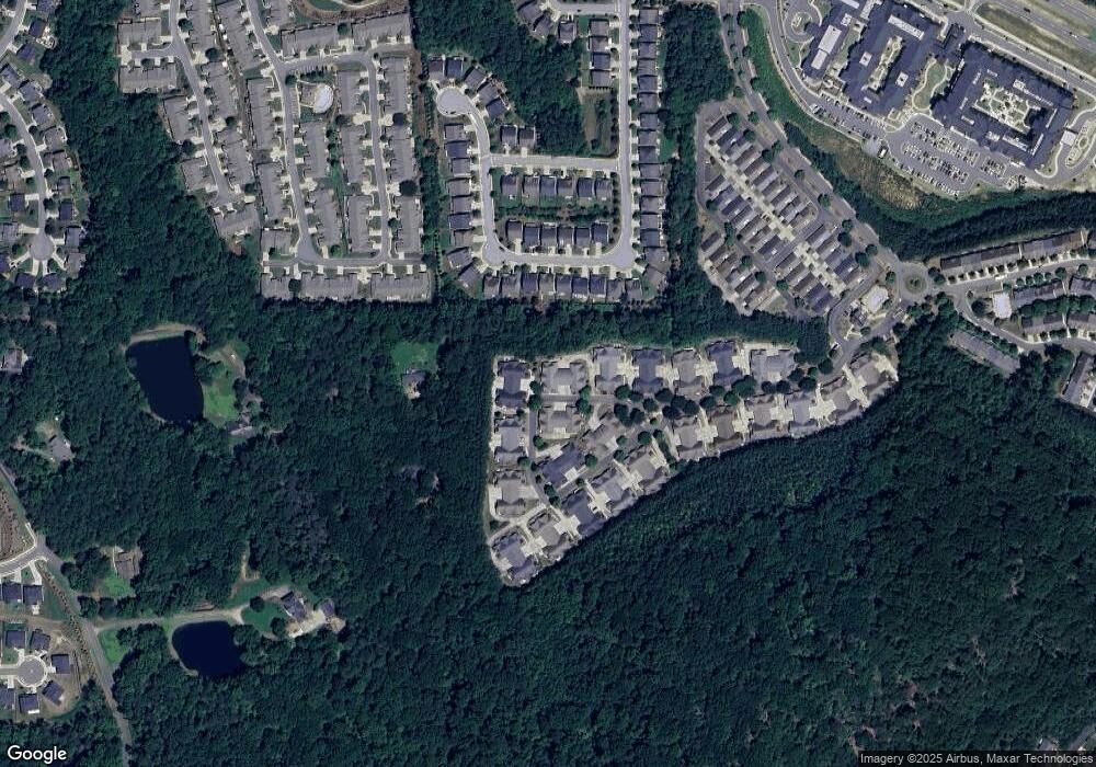
Map
Nearby Homes
- 310 Lauren Ln
- 344 Glens Way
- 328 Lauren Ln
- 208 Marlow Dr
- 109 Glens Dr
- 415 Mountain View Ln
- 115 Marlow Dr
- 141 Bevington Ln
- 383 Tillman Pass
- 607 Tall Timbers
- 441 Mountain View Ln Unit 371
- 702 Acampora Dr
- 339 Balaban Cir
- 3025 S Cherokee Ln
- 454 Mountain View Ln
- 120 Bevington Ln
- 502 Oxeye Dr
- 202 Roseman Way
- 238 Balaban Cir
- 266 Balaban Cir
- 218 Glens Loop Unit 218
- 216 Glens Loop
- 212 Glens Loop
- 212 Glens Loop Unit 212
- 214 Glens Loop
- 211 Glens Loop
- 220 Glens Loop
- 222 Glens Loop
- 209 Glens Loop
- 209 Glens Loop Unit 209
- 213 Glens Loop
- 226 Glens Loop
- 224 Glens Loop
- 224 Glens Loop Unit 224
- 215 Glens Loop
- 208 Glens Loop
- 230 Glens Loop
- 210 Glens Loop
- 206 Glens Loop
- 228 Glens Loop