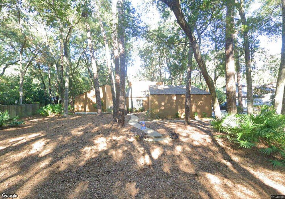
218 Hampton Ave Saint Simons Island, GA 31522
Estimated Value: $600,000 - $674,000
3
Beds
2
Baths
2,100
Sq Ft
$305/Sq Ft
Est. Value
About This Home
This home is located at 218 Hampton Ave, Saint Simons Island, GA 31522 and is currently estimated at $641,258, approximately $305 per square foot. 218 Hampton Ave is a home located in Glynn County with nearby schools including Oglethorpe Point Elementary School, Glynn Middle School, and Glynn Academy.
Ownership History
Date
Name
Owned For
Owner Type
Purchase Details
Closed on
Dec 5, 2008
Sold by
Dineen Fam Properties L
Bought by
Maybank Cathernine D
Current Estimated Value
Home Financials for this Owner
Home Financials are based on the most recent Mortgage that was taken out on this home.
Original Mortgage
$285,000
Interest Rate
6.1%
Mortgage Type
New Conventional
Purchase Details
Closed on
Mar 3, 2006
Sold by
Mccloskey Veronica M
Bought by
Dineen Fam Properties Llc
Create a Home Valuation Report for This Property
The Home Valuation Report is an in-depth analysis detailing your home's value as well as a comparison with similar homes in the area
Home Values in the Area
Average Home Value in this Area
Purchase History
| Date | Buyer | Sale Price | Title Company |
|---|---|---|---|
| Maybank Cathernine D | $300,000 | -- | |
| Dineen Fam Properties Llc | $350,000 | -- |
Source: Public Records
Mortgage History
| Date | Status | Borrower | Loan Amount |
|---|---|---|---|
| Closed | Maybank Cathernine D | $285,000 |
Source: Public Records
Tax History
| Year | Tax Paid | Tax Assessment Tax Assessment Total Assessment is a certain percentage of the fair market value that is determined by local assessors to be the total taxable value of land and additions on the property. | Land | Improvement |
|---|---|---|---|---|
| 2025 | $3,966 | $158,160 | $36,480 | $121,680 |
| 2024 | $3,985 | $158,880 | $36,480 | $122,400 |
| 2023 | $4,029 | $158,880 | $36,480 | $122,400 |
| 2022 | $3,133 | $119,960 | $36,480 | $83,480 |
| 2021 | $2,836 | $104,840 | $36,480 | $68,360 |
| 2020 | $2,862 | $104,840 | $36,480 | $68,360 |
| 2019 | $2,862 | $104,840 | $36,480 | $68,360 |
| 2018 | $2,862 | $104,840 | $36,480 | $68,360 |
| 2017 | $2,505 | $91,160 | $36,480 | $54,680 |
| 2016 | $2,313 | $91,160 | $36,480 | $54,680 |
| 2015 | $1,927 | $74,760 | $36,480 | $38,280 |
| 2014 | $1,927 | $74,760 | $36,480 | $38,280 |
Source: Public Records
Map
Nearby Homes
- 343 Major Wright Rd
- 203 Highpoint St
- 131 Harrogate Rd
- 376 Major Wright Rd
- 11 Deepwater Dr
- 764 Deer Run Villas
- 108 N Windward Dr
- 506 Magnolia St
- 308 Magnolia St
- 103 Turtle Point Ct
- 1072 Sea Palms West Dr
- 116 General Oglethorpe Rd
- 4 Bay Tree Ct W
- 3 Bay Tree Ct W
- 43 Bay Tree Ct E
- 702 Cedar St
- 420 Holly St
- 1077 Sinclair Point
- 1086 Sinclair Pointe
- 170 S Harrington Rd
- 216 Hampton Ave
- 133 Saint Clair Dr
- 131 Saint Clair Dr
- 127 Saint Clair Dr
- 125 St Clair Dr
- 125 Saint Clair Dr
- 214 Hampton Ave
- 214 Hampton Ave
- 217 Hampton Ave
- 135 Saint Clair Dr
- 123 Saint Clair Dr
- 212 Hampton Ave
- 215 Hampton Ave
- 130 Saint Clair Dr
- 121 St Clair
- 132 Saint Clair Dr
- 22 Dunbar Dr
- 126 Saint Clair Dr
- 210 Hampton Ave
- 121 Saint Clair Dr
Your Personal Tour Guide
Ask me questions while you tour the home.