218 Justin Dr Walhalla, SC 29691
Estimated Value: $126,000 - $207,000
2
Beds
1
Bath
1,312
Sq Ft
$135/Sq Ft
Est. Value
About This Home
This home is located at 218 Justin Dr, Walhalla, SC 29691 and is currently estimated at $176,903, approximately $134 per square foot. 218 Justin Dr is a home with nearby schools including James M. Brown Elementary School, Walhalla Middle School, and Walhalla High School.
Ownership History
Date
Name
Owned For
Owner Type
Purchase Details
Closed on
Nov 15, 2018
Sold by
Sanders William Monty
Bought by
Wald Rodger Perry and Wald Nancy
Current Estimated Value
Home Financials for this Owner
Home Financials are based on the most recent Mortgage that was taken out on this home.
Original Mortgage
$67,000
Outstanding Balance
$41,614
Interest Rate
4.8%
Mortgage Type
New Conventional
Estimated Equity
$135,289
Create a Home Valuation Report for This Property
The Home Valuation Report is an in-depth analysis detailing your home's value as well as a comparison with similar homes in the area
Home Values in the Area
Average Home Value in this Area
Purchase History
| Date | Buyer | Sale Price | Title Company |
|---|---|---|---|
| Wald Rodger Perry | $100,000 | None Available | |
| Sanders William Monty | -- | None Available |
Source: Public Records
Mortgage History
| Date | Status | Borrower | Loan Amount |
|---|---|---|---|
| Open | Wald Rodger Perry | $67,000 |
Source: Public Records
Tax History
| Year | Tax Paid | Tax Assessment Tax Assessment Total Assessment is a certain percentage of the fair market value that is determined by local assessors to be the total taxable value of land and additions on the property. | Land | Improvement |
|---|---|---|---|---|
| 2025 | $149 | $4,318 | $1,412 | $2,906 |
| 2024 | $149 | $4,318 | $1,412 | $2,906 |
| 2023 | $151 | $4,318 | $1,412 | $2,906 |
| 2022 | $151 | $4,318 | $1,412 | $2,906 |
| 2021 | $217 | $4,080 | $1,302 | $2,778 |
| 2020 | $136 | $4,066 | $1,288 | $2,778 |
| 2019 | $136 | $0 | $0 | $0 |
| 2018 | $743 | $0 | $0 | $0 |
| 2017 | $217 | $0 | $0 | $0 |
| 2016 | $217 | $0 | $0 | $0 |
| 2015 | -- | $0 | $0 | $0 |
| 2014 | -- | $5,283 | $1,864 | $3,419 |
| 2013 | -- | $0 | $0 | $0 |
Source: Public Records
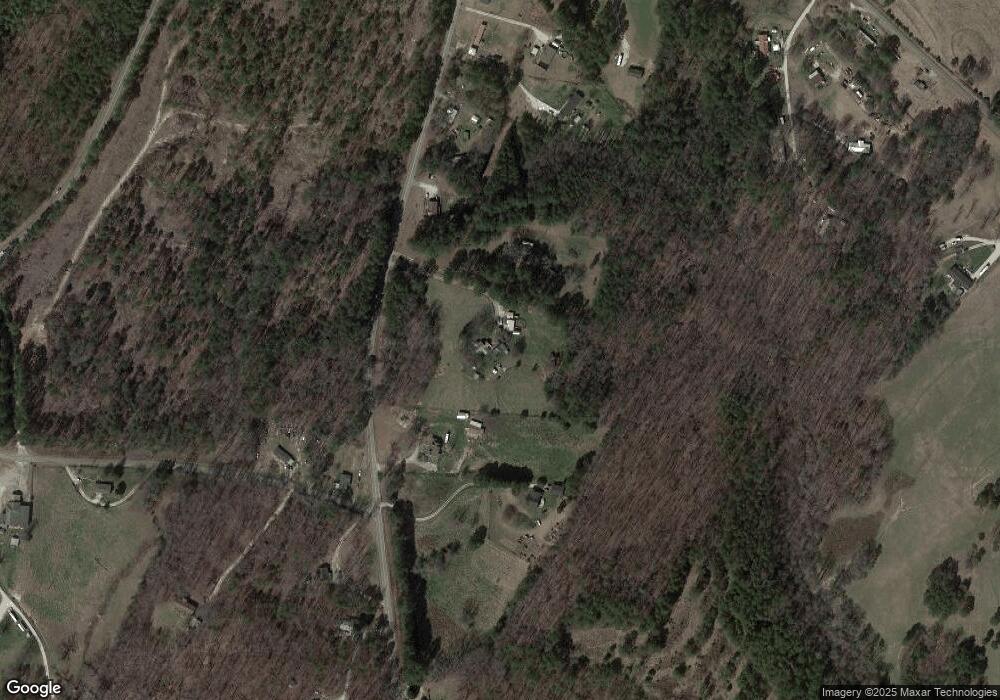
Map
Nearby Homes
- 122 Skyview Dr
- 155 Whitman Hollow Rd
- 310 Stribling Shoals Rd
- 318 S Pine St
- 2015 Highlands Hwy
- 109 S Laurel St
- 107 S Laurel St
- 2423 Westminster Hwy
- 606 W South Broad St
- 384 E Woodland Dr
- 804 W North Broad St
- 707 S Spring St
- 207 Water Works Rd
- 00 W North Broad St
- 304 S Spring St
- 320 Jaynes St
- 1399 Lake Jemiki Rd
- 1418 Lake Jemiki Rd
- 326 Kenneth St
- 00 Keowee St
- 112 Lemmon Drop Ln
- 253 Rock Crusher Rd
- 146 Rosebank Ln
- 237 Rock Crusher Rd
- 254 Rock Crusher Rd
- 231 Rock Crusher Rd
- 237 Yellow Bell Rd
- 227 Rock Crusher Rd
- 0 Nectarine Cir
- 306 Rock Crusher Rd
- 219 Rock Crusher Rd
- 223 Rock Crusher Rd
- 217 Rock Crusher Rd
- 319 Rock Crusher Rd
- 215 Rock Crusher Rd
- 608 Trudy Trace
- 318 Evans Dr
- 318 Rock Crusher Rd
- 210 Yellow Bell Rd
- 109 Voyles Dr
Your Personal Tour Guide
Ask me questions while you tour the home.