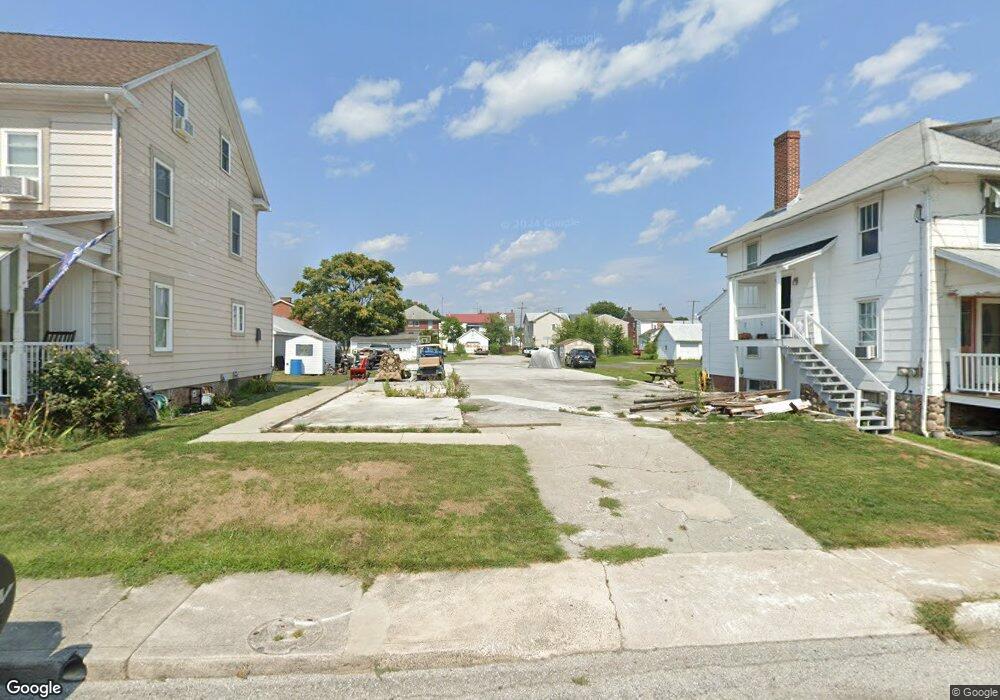
218 M St Littlestown, PA 17340
Estimated Value: $27,819
8
Beds
--
Bath
--
Sq Ft
6,970
Sq Ft Lot
About This Home
This home is located at 218 M St, Littlestown, PA 17340 and is currently estimated at $27,819. 218 M St is a home located in Adams County with nearby schools including Rolling Acres El School, Maple Avenue Middle School, and Littlestown Senior High School.
Ownership History
Date
Name
Owned For
Owner Type
Purchase Details
Closed on
Nov 16, 2023
Sold by
Pa Interfaith Community Programs Inc
Bought by
Garver Gary S and Garver Kimberly J
Current Estimated Value
Purchase Details
Closed on
Jun 9, 2005
Sold by
Smith Brian H and Smith Larry W
Bought by
Adams County Interfaith Housing Corp
Home Financials for this Owner
Home Financials are based on the most recent Mortgage that was taken out on this home.
Original Mortgage
$150,000
Interest Rate
5.79%
Mortgage Type
Future Advance Clause Open End Mortgage
Create a Home Valuation Report for This Property
The Home Valuation Report is an in-depth analysis detailing your home's value as well as a comparison with similar homes in the area
Home Values in the Area
Average Home Value in this Area
Purchase History
| Date | Buyer | Sale Price | Title Company |
|---|---|---|---|
| Garver Gary S | $25,000 | Adams Abstract Associates Inc | |
| Adams County Interfaith Housing Corp | $97,000 | -- |
Source: Public Records
Mortgage History
| Date | Status | Borrower | Loan Amount |
|---|---|---|---|
| Previous Owner | Adams County Interfaith Housing Corp | $150,000 |
Source: Public Records
Tax History Compared to Growth
Tax History
| Year | Tax Paid | Tax Assessment Tax Assessment Total Assessment is a certain percentage of the fair market value that is determined by local assessors to be the total taxable value of land and additions on the property. | Land | Improvement |
|---|---|---|---|---|
| 2025 | $641 | $27,900 | $27,900 | $0 |
| 2024 | $618 | $27,900 | $27,900 | $0 |
| 2023 | $3,477 | $163,300 | $27,900 | $135,400 |
| 2022 | $3,456 | $163,300 | $27,900 | $135,400 |
| 2021 | $3,354 | $163,300 | $27,900 | $135,400 |
| 2020 | $3,314 | $163,300 | $27,900 | $135,400 |
| 2019 | $3,215 | $163,300 | $27,900 | $135,400 |
| 2018 | $3,156 | $163,300 | $27,900 | $135,400 |
| 2017 | $3,075 | $163,300 | $27,900 | $135,400 |
| 2016 | -- | $163,300 | $27,900 | $135,400 |
| 2015 | -- | $163,300 | $27,900 | $135,400 |
| 2014 | -- | $163,300 | $27,900 | $135,400 |
Source: Public Records
Map
Nearby Homes
- 117 Charles St
- 115 Charles St
- 61 E King St
- 129 W King St
- 211 E King St
- 22 Rita Marie Ave
- 140 Apple Grove Ln Unit 425
- 449 Glenwyn Dr
- 440 N Queen St
- 535 Lumber St
- 162 Newark St
- 41 Smith Cir
- 559 Lumber St
- 567 Lumber St
- 161 Stoners Cir
- 1024 Frederick Pike Unit 6
- 58 Windsor Ct
- 48 Windsor Ct
- 20c Locust Dr
- 0 Locust Dr Unit PAAD2015910