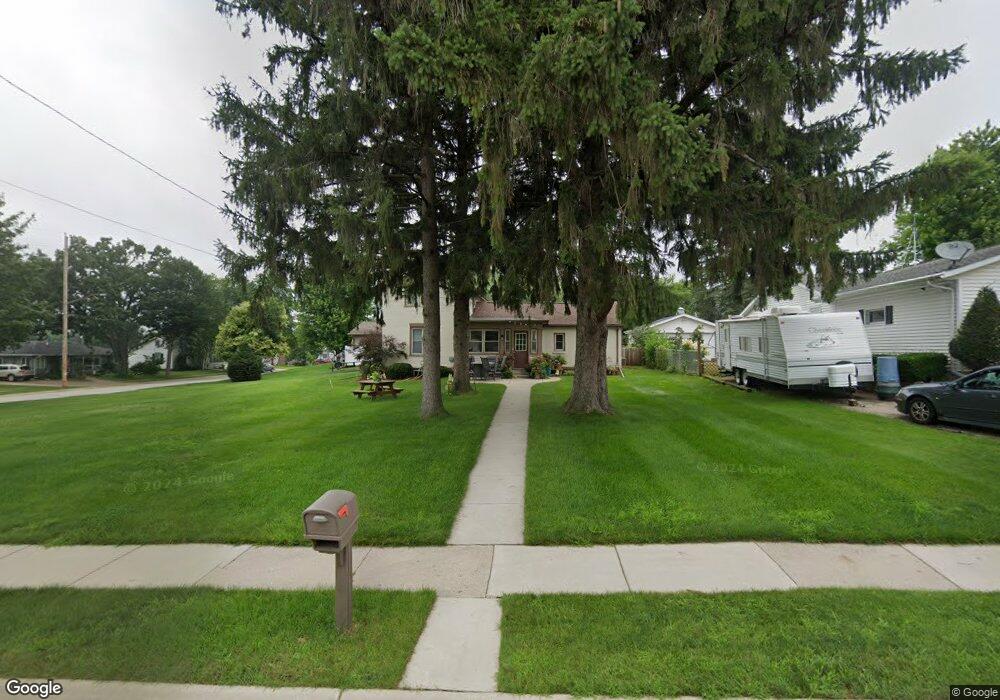
218 Mary St Watertown, WI 53094
Estimated Value: $275,767 - $293,000
--
Bed
--
Bath
--
Sq Ft
0.35
Acres
About This Home
This home is located at 218 Mary St, Watertown, WI 53094 and is currently estimated at $280,692. 218 Mary St is a home located in Jefferson County with nearby schools including Watertown High School, eCampus Academy Charter School, and Trinity-St. Luke's Lutheran Elementary School.
Ownership History
Date
Name
Owned For
Owner Type
Purchase Details
Closed on
Jul 13, 2012
Sold by
Jls Properties Of Watertown Llc
Bought by
Stalker Justin L and Stalker Crystal A
Current Estimated Value
Home Financials for this Owner
Home Financials are based on the most recent Mortgage that was taken out on this home.
Original Mortgage
$125,510
Outstanding Balance
$86,515
Interest Rate
3.64%
Mortgage Type
New Conventional
Estimated Equity
$194,177
Purchase Details
Closed on
Feb 24, 2012
Sold by
Schuett Lonnie and Estate Of Kalvin K Schuett
Bought by
Jls Properties Of Watertown Llc
Create a Home Valuation Report for This Property
The Home Valuation Report is an in-depth analysis detailing your home's value as well as a comparison with similar homes in the area
Home Values in the Area
Average Home Value in this Area
Purchase History
| Date | Buyer | Sale Price | Title Company |
|---|---|---|---|
| Stalker Justin L | $123,000 | None Available | |
| Jls Properties Of Watertown Llc | $25,000 | None Available |
Source: Public Records
Mortgage History
| Date | Status | Borrower | Loan Amount |
|---|---|---|---|
| Open | Stalker Justin L | $125,510 |
Source: Public Records
Tax History Compared to Growth
Tax History
| Year | Tax Paid | Tax Assessment Tax Assessment Total Assessment is a certain percentage of the fair market value that is determined by local assessors to be the total taxable value of land and additions on the property. | Land | Improvement |
|---|---|---|---|---|
| 2024 | $3,505 | $235,700 | $53,700 | $182,000 |
| 2023 | $3,171 | $191,500 | $47,700 | $143,800 |
| 2022 | $3,196 | $191,500 | $47,700 | $143,800 |
| 2021 | $3,024 | $128,000 | $30,500 | $97,500 |
| 2020 | $3,067 | $128,000 | $30,500 | $97,500 |
| 2019 | $2,972 | $128,000 | $30,500 | $97,500 |
| 2018 | $2,910 | $128,000 | $30,500 | $97,500 |
| 2017 | $2,803 | $128,000 | $30,500 | $97,500 |
| 2016 | $2,759 | $128,000 | $30,500 | $97,500 |
| 2015 | $2,838 | $128,000 | $30,500 | $97,500 |
| 2014 | $2,877 | $128,000 | $30,500 | $97,500 |
| 2013 | $2,931 | $128,000 | $30,500 | $97,500 |
Source: Public Records
Map
Nearby Homes
- 1313 Utah St
- 1301 Utah St
- 1215 Utah St
- 1418 S 9th St
- 1314 Waldron St
- 908 Franklin St
- 1330 S 10th St
- 1507 S 10th St
- 913 S 3rd St
- 131 Cedar Ct
- The Saybrook Plan at Rock River Ridge
- The Atwater Plan at Rock River Ridge
- The Hudson Plan at Rock River Ridge
- The Coral Plan at Rock River Ridge
- The Drake Plan at Rock River Ridge
- The Addison Plan at Rock River Ridge
- The Bradford Plan at Rock River Ridge
- The Catalina Plan at Rock River Ridge
- The Adrian Plan at Rock River Ridge
- The McKinley Plan at Rock River Ridge