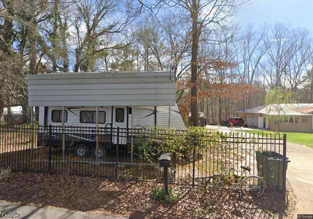
218 Mohawk Dr Unit 7.67AC Tallapoosa, GA 30176
Estimated Value: $247,000 - $465,000
4
Beds
3
Baths
1,450
Sq Ft
$233/Sq Ft
Est. Value
About This Home
This home is located at 218 Mohawk Dr Unit 7.67AC, Tallapoosa, GA 30176 and is currently estimated at $338,162, approximately $233 per square foot. 218 Mohawk Dr Unit 7.67AC is a home located in Haralson County with nearby schools including Haralson County High School.
Ownership History
Date
Name
Owned For
Owner Type
Purchase Details
Closed on
Jun 22, 2015
Sold by
Bama Properties Llc
Bought by
Bickle Lyea M
Current Estimated Value
Home Financials for this Owner
Home Financials are based on the most recent Mortgage that was taken out on this home.
Original Mortgage
$159,900
Outstanding Balance
$124,462
Interest Rate
3.89%
Mortgage Type
VA
Estimated Equity
$213,700
Purchase Details
Closed on
Oct 9, 2013
Sold by
Sec Of Housing & U
Bought by
Bama Properties Llc
Purchase Details
Closed on
Dec 4, 2012
Sold by
Wells Fargo Bank Na
Bought by
Secretary Of Housing & Urban Development
Purchase Details
Closed on
Dec 31, 2002
Sold by
Edwards Robert Clifton Estate By Kelly R
Bought by
Bowers Ii David R and Bowers Cheryl C
Purchase Details
Closed on
Nov 29, 2001
Sold by
Kelly Roswell Eugene
Bought by
Bowers David R % and Bowers Cheryl C
Create a Home Valuation Report for This Property
The Home Valuation Report is an in-depth analysis detailing your home's value as well as a comparison with similar homes in the area
Home Values in the Area
Average Home Value in this Area
Purchase History
| Date | Buyer | Sale Price | Title Company |
|---|---|---|---|
| Bickle Lyea M | $159,900 | -- | |
| Bama Properties Llc | $48,750 | -- | |
| Secretary Of Housing & Urban Development | -- | -- | |
| Sec Of Housing & Urban | $48,000 | -- | |
| Wells Fargo Bank | $48,000 | -- | |
| Bowers Ii David R | -- | -- | |
| Bowers David R % | $110,000 | -- |
Source: Public Records
Mortgage History
| Date | Status | Borrower | Loan Amount |
|---|---|---|---|
| Open | Bickle Lyea M | $159,900 |
Source: Public Records
Tax History Compared to Growth
Tax History
| Year | Tax Paid | Tax Assessment Tax Assessment Total Assessment is a certain percentage of the fair market value that is determined by local assessors to be the total taxable value of land and additions on the property. | Land | Improvement |
|---|---|---|---|---|
| 2024 | $3,290 | $104,457 | $16,085 | $88,372 |
| 2023 | $3,294 | $100,686 | $11,203 | $89,483 |
| 2022 | $2,139 | $82,857 | $11,203 | $71,654 |
| 2021 | $2,092 | $77,595 | $11,203 | $66,392 |
| 2020 | $2,121 | $78,436 | $11,203 | $67,233 |
| 2019 | $2,114 | $75,334 | $11,203 | $64,131 |
| 2018 | $2,139 | $75,334 | $11,203 | $64,131 |
| 2017 | $2,037 | $65,425 | $11,203 | $54,222 |
| 2016 | $1,544 | $52,986 | $11,203 | $41,783 |
| 2015 | $1,290 | $44,021 | $11,203 | $32,818 |
| 2014 | -- | $52,807 | $19,989 | $32,818 |
Source: Public Records
Map
Nearby Homes
- 174 Faye St
- 871 Cherokee Dr
- 194 Faye St
- 0 Cherokee Dr Unit 148037
- 0 Creek Dr Unit 148038
- 711 Kay St
- --- Steadman #32 Rd
- 0 Steadman Rd Unit 10608314
- 77 McDonald Rd
- 35 James St
- 0 N Ridge Dr Unit 7657923
- 0 N Ridge Dr Unit 10615294
- --- Steadman Rd Unit 32
- 622 Cedartown Ave
- 154 Bethany St
- 28 McDonald Ridge
- 135 Oakland Ct
- 171 James St
- 324 Bethany St
- 164 Berlin St
- 218 Mohawk Dr
- 200 Mohawk Dr
- 184 Mohawk Dr
- 166 Mohawk Dr
- 0 Mohawk Dr Unit 7470455
- 0 Mohawk Dr Unit 9026491
- 0 Mohawk Dr Unit 7119903
- 0 Mohawk Dr Unit 7288466
- 27 Woodstream Ln
- 383 McDonald Rd
- 265 Ray St
- 233 Ray St
- 155 Mohawk Dr
- 11 Woodstream Ln
- 171 Creek Dr
- 240 Ray St
- 260 Ray St
- 272 Ray St
- 221 Ray St
- 0 Woodstream Ln Unit 8434973