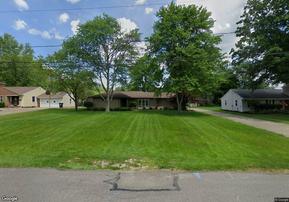
218 Moreland Dr Canfield, OH 44406
Estimated Value: $232,000 - $262,000
3
Beds
2
Baths
1,745
Sq Ft
$145/Sq Ft
Est. Value
About This Home
This home is located at 218 Moreland Dr, Canfield, OH 44406 and is currently estimated at $252,855, approximately $144 per square foot. 218 Moreland Dr is a home located in Mahoning County with nearby schools including Canfield Village Middle School and Canfield High School.
Ownership History
Date
Name
Owned For
Owner Type
Purchase Details
Closed on
May 20, 2005
Sold by
Lankford Daniel S and Lankford Angela M
Bought by
Spier Katina M
Current Estimated Value
Home Financials for this Owner
Home Financials are based on the most recent Mortgage that was taken out on this home.
Original Mortgage
$118,000
Outstanding Balance
$62,432
Interest Rate
6.07%
Mortgage Type
Fannie Mae Freddie Mac
Estimated Equity
$190,423
Purchase Details
Closed on
Feb 1, 2001
Sold by
Cardlin Deborah Ann and Stewart Deborah A
Bought by
Lankford Daniel S and Lankford Angela M
Home Financials for this Owner
Home Financials are based on the most recent Mortgage that was taken out on this home.
Original Mortgage
$116,850
Interest Rate
7.18%
Purchase Details
Closed on
Jul 18, 1996
Sold by
Stewart Jeffrey Russell
Bought by
Stewart Deborah Ann
Purchase Details
Closed on
Jul 11, 1989
Bought by
Stewart Jeffrey
Create a Home Valuation Report for This Property
The Home Valuation Report is an in-depth analysis detailing your home's value as well as a comparison with similar homes in the area
Home Values in the Area
Average Home Value in this Area
Purchase History
| Date | Buyer | Sale Price | Title Company |
|---|---|---|---|
| Spier Katina M | $123,000 | -- | |
| Lankford Daniel S | $123,000 | -- | |
| Stewart Deborah Ann | -- | -- | |
| Stewart Jeffrey | $79,900 | -- |
Source: Public Records
Mortgage History
| Date | Status | Borrower | Loan Amount |
|---|---|---|---|
| Open | Spier Katina M | $118,000 | |
| Previous Owner | Lankford Daniel S | $116,850 |
Source: Public Records
Tax History Compared to Growth
Tax History
| Year | Tax Paid | Tax Assessment Tax Assessment Total Assessment is a certain percentage of the fair market value that is determined by local assessors to be the total taxable value of land and additions on the property. | Land | Improvement |
|---|---|---|---|---|
| 2024 | $3,010 | $69,830 | $14,580 | $55,250 |
| 2023 | $2,963 | $69,830 | $14,580 | $55,250 |
| 2022 | $2,442 | $45,780 | $13,290 | $32,490 |
| 2021 | $2,369 | $45,780 | $13,290 | $32,490 |
| 2020 | $2,379 | $45,780 | $13,290 | $32,490 |
| 2019 | $2,301 | $40,160 | $11,660 | $28,500 |
| 2018 | $2,272 | $40,160 | $11,660 | $28,500 |
| 2017 | $2,269 | $40,160 | $11,660 | $28,500 |
| 2016 | $2,123 | $38,270 | $10,830 | $27,440 |
| 2015 | $2,076 | $38,270 | $10,830 | $27,440 |
| 2014 | $2,085 | $38,270 | $10,830 | $27,440 |
| 2013 | $2,009 | $38,270 | $10,830 | $27,440 |
Source: Public Records
Map
Nearby Homes
- 230 Deer Trail Ave
- 331 Verdant Ln
- 365 Sleepy Hollow Dr
- 90 Villa Theresa Ln
- 9 Willow Way
- 395 N Broad St
- 675 Blueberry Hill Dr
- 31 Villa Theresa Ln
- 21 Villa Theresa Ln
- 30 Villa Theresa Ln
- 520 Stoneybrook Ln
- 20 Villa Theresa Ln
- 10 Villa Theresa Ln
- 541 Stoneybrook Ln
- 38 Skyline Dr
- 755 Blueberry Hill Dr
- 78 Neff Dr
- 58 Skyline Dr
- 6264 Herbert Rd
- 125 Callahan Rd
- 222 Moreland Dr
- 212 Moreland Dr
- 235 Deer Trail Ave
- 230 Moreland Dr
- 206 Moreland Dr
- 245 Deer Trail Ave
- 225 Deer Trail Ave
- 215 Moreland Dr
- 255 Deer Trail Ave
- 215 Deer Trail Ave
- 236 Moreland Dr
- 200 Moreland Dr
- 209 Moreland Dr
- 209 Bradford Dr
- 233 Moreland Dr
- 265 Deer Trail Ave
- 340 Glenview Rd
- 203 Moreland Dr
- 215 Bradford Dr
- 242 Moreland Dr
