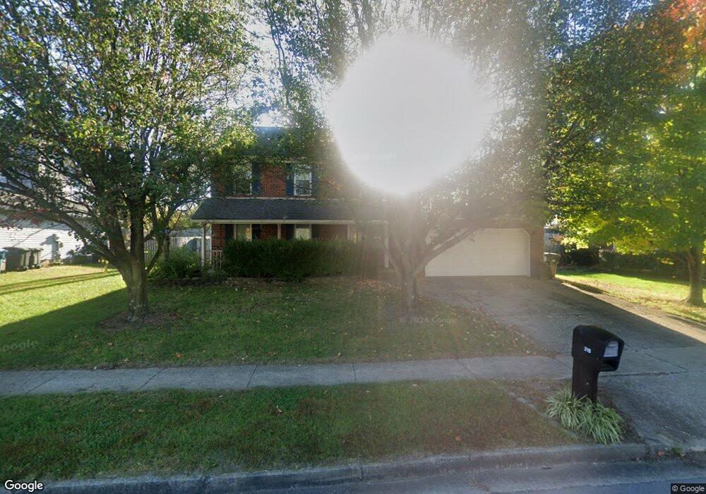
218 Redding Rd Georgetown, KY 40324
South Scott County NeighborhoodEstimated Value: $356,705 - $390,000
4
Beds
4
Baths
2,250
Sq Ft
$165/Sq Ft
Est. Value
About This Home
This home is located at 218 Redding Rd, Georgetown, KY 40324 and is currently estimated at $371,426, approximately $165 per square foot. 218 Redding Rd is a home located in Scott County with nearby schools including Southern Elementary School, Creekside Elementary School, and Georgetown Middle School.
Ownership History
Date
Name
Owned For
Owner Type
Purchase Details
Closed on
Jun 30, 2008
Sold by
Barnett William and Barnett Vicki
Bought by
Walter Steven R and Walter Erin A
Current Estimated Value
Home Financials for this Owner
Home Financials are based on the most recent Mortgage that was taken out on this home.
Original Mortgage
$9,350
Interest Rate
6.08%
Mortgage Type
Credit Line Revolving
Create a Home Valuation Report for This Property
The Home Valuation Report is an in-depth analysis detailing your home's value as well as a comparison with similar homes in the area
Home Values in the Area
Average Home Value in this Area
Purchase History
| Date | Buyer | Sale Price | Title Company |
|---|---|---|---|
| Walter Steven R | $177,500 | None Available |
Source: Public Records
Mortgage History
| Date | Status | Borrower | Loan Amount |
|---|---|---|---|
| Closed | Walter Steven R | $9,350 |
Source: Public Records
Tax History Compared to Growth
Tax History
| Year | Tax Paid | Tax Assessment Tax Assessment Total Assessment is a certain percentage of the fair market value that is determined by local assessors to be the total taxable value of land and additions on the property. | Land | Improvement |
|---|---|---|---|---|
| 2024 | $2,476 | $275,300 | $0 | $0 |
| 2023 | $2,353 | $259,500 | $40,000 | $219,500 |
| 2022 | $1,916 | $225,300 | $35,000 | $190,300 |
| 2021 | $1,974 | $209,500 | $35,000 | $174,500 |
| 2020 | $1,704 | $198,300 | $35,000 | $163,300 |
| 2019 | $1,720 | $197,100 | $0 | $0 |
| 2018 | $1,622 | $186,900 | $0 | $0 |
| 2017 | $1,548 | $177,500 | $0 | $0 |
| 2016 | $1,429 | $177,500 | $0 | $0 |
| 2015 | $1,420 | $177,500 | $0 | $0 |
| 2014 | $1,472 | $177,500 | $0 | $0 |
| 2011 | $110 | $177,500 | $0 | $0 |
Source: Public Records
Map
Nearby Homes
- 512 Pocahontas Trail
- 232 W Showalter Dr
- 115 Walden Cove
- 809 Pocahontas Trail
- 251 W Showalter Dr
- 129 Irving Ln
- 1000 Walker Way
- 154 Hawthorne Dr
- 301 Aztec Trail
- 119 Josie Trail
- 701 Mojave Trail
- 141 Warren Pass
- 180 Hillside Dr
- 106 London Ct
- 107 Oconner Ct
- 127 E Chopin Way
- 1026 Parkside Dr
- 1020 Parkside Dr
- 141 Delissa Dr
- 117 Christal Dr
- 220 Redding Rd
- 217 Redding Rd
- 214 Redding Rd
- 219 Redding Rd
- 222 Redding Rd
- 100 Redding Lake Cir
- 221 Redding Rd
- 3728 Redding Rd
- 212 Redding Rd
- 224 Redding Rd
- 223 Redding Rd
- 102 Redding Lake Cir
- 223 Redding Rd
- 139 Emerson Trail
- 141 Emerson Trail
- 137 Emerson Trail
- 104 Redding Lake Cir
- 225 Redding Rd
- 135 Emerson Trail