Estimated Value: $273,000 - $447,000
2
Beds
1
Bath
1,058
Sq Ft
$314/Sq Ft
Est. Value
About This Home
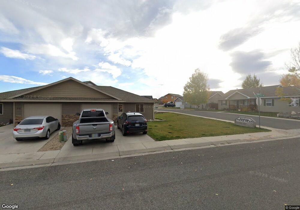
This home is located at 218 Robert St, Cody, WY 82414 and is currently estimated at $332,458, approximately $314 per square foot. 218 Robert St is a home with nearby schools including Cody Middle School, Cody High School, and Park Christian Schools.
Ownership History
Date
Name
Owned For
Owner Type
Purchase Details
Closed on
Aug 5, 2011
Sold by
Higbie Edwin E and Higbie Carol L
Bought by
Higbie Ashlie
Current Estimated Value
Purchase Details
Closed on
Jul 24, 2011
Sold by
Higbie Ashlie
Bought by
Mcvey Denny and Mcvey Kimberly
Create a Home Valuation Report for This Property
The Home Valuation Report is an in-depth analysis detailing your home's value as well as a comparison with similar homes in the area
Purchase History
| Date | Buyer | Sale Price | Title Company |
|---|---|---|---|
| Higbie Ashlie | -- | None Available | |
| Mcvey Denny | -- | None Available |
Source: Public Records
Tax History
| Year | Tax Paid | Tax Assessment Tax Assessment Total Assessment is a certain percentage of the fair market value that is determined by local assessors to be the total taxable value of land and additions on the property. | Land | Improvement |
|---|---|---|---|---|
| 2025 | $1,630 | $21,882 | $3,192 | $18,690 |
| 2024 | $2,090 | $28,054 | $4,092 | $23,962 |
| 2023 | $2,048 | $27,495 | $3,712 | $23,783 |
| 2022 | $1,694 | $22,550 | $3,568 | $18,982 |
| 2021 | $1,569 | $20,914 | $3,283 | $17,631 |
| 2020 | $1,413 | $18,841 | $3,112 | $15,729 |
| 2019 | $1,373 | $18,302 | $3,112 | $15,190 |
| 2018 | $1,251 | $16,676 | $3,068 | $13,608 |
| 2017 | $1,296 | $17,279 | $3,011 | $14,268 |
| 2016 | $1,226 | $16,349 | $2,552 | $13,797 |
| 2015 | -- | $2,552 | $2,552 | $0 |
| 2014 | -- | $2,547 | $2,547 | $0 |
Source: Public Records
Map
Nearby Homes
- 2919 Faith Ct
- 230 Pleasant View Dr
- 3005 Kent Ave
- 2956 Kent Ave
- 138 Pleasant View Dr
- 170 C St
- 2850 Kent Ave Unit E-11
- 2850 Kent Ave Unit E-12
- 228 C St
- 89 W Rocky Rd
- TBD Steamboat Ct Unit Lot P7-15
- 2729 D Ave
- 3419 Appalachian Ave
- 164 Blackburn St Unit F
- TBD 33rd St Unit Lot 5
- 324 Blackburn St Unit C / D
- 2713 Cougar Ave
- 3331 Owens Ave
- 3414 Frisby Ave
- 908 35th St
- 216 Robert St
- 3007 Ishawooa Trail Ave
- 214 Robert St
- 3002 Ishawooa Trail Ave
- 3002 Ishawooa Trail Ave Unit 9
- 3013 Ishawooa Trail Ave
- 212 Robert St
- 3008 Belknap Ct
- 224 Robert St
- 210 Robert St
- 3025 Ishawooa Trail Ave
- 3014 Belknap Ct
- 208 Robert St
- 3031 Ishawooa Trail Ave
- 226 Robert St
- 3032 Belknap Ct
- 215 Robert St
- 3020 Belknap Ct
- 206 Robert St
- 206 Robert St Unit 2
Your Personal Tour Guide
Ask me questions while you tour the home.