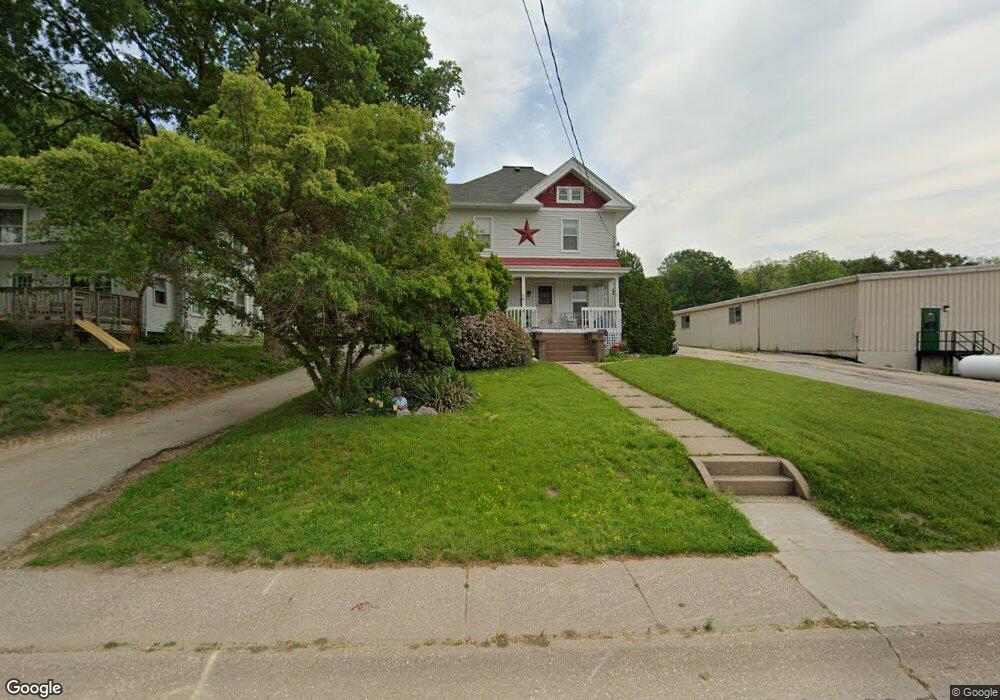
218 S Main St Port Byron, IL 61275
Estimated Value: $213,000 - $247,000
4
Beds
2
Baths
1,726
Sq Ft
$131/Sq Ft
Est. Value
About This Home
This home is located at 218 S Main St, Port Byron, IL 61275 and is currently estimated at $225,631, approximately $130 per square foot. 218 S Main St is a home located in Rock Island County with nearby schools including Riverdale Elementary School, Riverdale Middle School, and Riverdale Senior High School.
Create a Home Valuation Report for This Property
The Home Valuation Report is an in-depth analysis detailing your home's value as well as a comparison with similar homes in the area
Home Values in the Area
Average Home Value in this Area
Tax History Compared to Growth
Tax History
| Year | Tax Paid | Tax Assessment Tax Assessment Total Assessment is a certain percentage of the fair market value that is determined by local assessors to be the total taxable value of land and additions on the property. | Land | Improvement |
|---|---|---|---|---|
| 2024 | $4,035 | $59,202 | $12,237 | $46,965 |
| 2023 | $4,035 | $54,314 | $11,227 | $43,087 |
| 2022 | $3,178 | $46,375 | $10,708 | $35,667 |
| 2021 | $3,082 | $43,958 | $10,150 | $33,808 |
| 2020 | $3,029 | $43,308 | $10,000 | $33,308 |
| 2019 | $3,039 | $43,308 | $10,000 | $33,308 |
| 2018 | $2,766 | $40,556 | $7,942 | $32,614 |
| 2017 | $2,724 | $40,556 | $7,942 | $32,614 |
| 2016 | $2,694 | $39,996 | $7,832 | $32,164 |
| 2015 | $2,695 | $39,696 | $7,544 | $32,152 |
| 2014 | $516 | $38,918 | $7,396 | $31,522 |
| 2013 | $516 | $38,918 | $7,396 | $31,522 |
Source: Public Records
Map
Nearby Homes