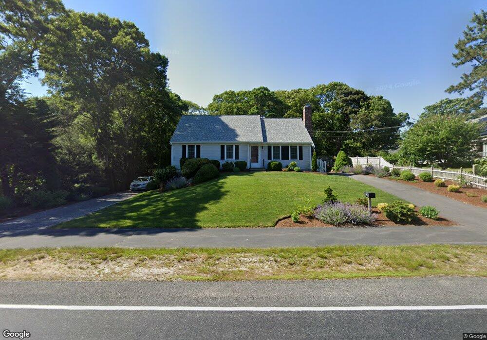
218 Setucket Rd Yarmouth Port, MA 02675
Yarmouth Port NeighborhoodEstimated Value: $745,000 - $847,000
3
Beds
3
Baths
1,800
Sq Ft
$430/Sq Ft
Est. Value
About This Home
This home is located at 218 Setucket Rd, Yarmouth Port, MA 02675 and is currently estimated at $774,622, approximately $430 per square foot. 218 Setucket Rd is a home located in Barnstable County with nearby schools including Dennis-Yarmouth Regional High School and St. Pius X. School.
Ownership History
Date
Name
Owned For
Owner Type
Purchase Details
Closed on
Oct 19, 2023
Sold by
Boucher Robert K and Boucher Karen D
Bought by
Boucher Ret and Boucher
Current Estimated Value
Create a Home Valuation Report for This Property
The Home Valuation Report is an in-depth analysis detailing your home's value as well as a comparison with similar homes in the area
Home Values in the Area
Average Home Value in this Area
Purchase History
| Date | Buyer | Sale Price | Title Company |
|---|---|---|---|
| Boucher Ret | -- | None Available |
Source: Public Records
Tax History Compared to Growth
Tax History
| Year | Tax Paid | Tax Assessment Tax Assessment Total Assessment is a certain percentage of the fair market value that is determined by local assessors to be the total taxable value of land and additions on the property. | Land | Improvement |
|---|---|---|---|---|
| 2025 | $4,891 | $690,800 | $144,200 | $546,600 |
| 2024 | $4,827 | $654,000 | $152,000 | $502,000 |
| 2023 | $4,683 | $577,400 | $135,500 | $441,900 |
| 2022 | $4,345 | $473,300 | $121,900 | $351,400 |
| 2021 | $4,010 | $419,500 | $121,900 | $297,600 |
| 2020 | $3,871 | $387,100 | $121,900 | $265,200 |
| 2019 | $3,519 | $348,400 | $121,900 | $226,500 |
| 2018 | $3,352 | $325,800 | $99,300 | $226,500 |
| 2017 | $3,265 | $325,800 | $99,300 | $226,500 |
| 2016 | $3,162 | $316,800 | $90,300 | $226,500 |
| 2015 | $3,013 | $300,100 | $90,300 | $209,800 |
Source: Public Records
Map
Nearby Homes
- 3 Covey Dr
- 210 Setucket Rd
- 7 Covey Dr
- 219 Setucket Rd
- 1 Uncle Jimmy's Ln
- 1 Uncle Jimmys Ln
- 11 Uncle Jimmy's Ln
- 1 Aunt Dorahs Ln
- 204 Setucket Rd
- 8 Covey Dr
- 233 Setucket Rd
- 205 Setucket Rd
- 9 Aunt Dorah's Ln
- 10 Aunt Dorahs Ln
- 11 Uncle Jimmys Ln
- 9 Aunt Dorahs Ln
- 196 Setucket Rd
- 14 Covey Dr
- 238 Setucket Rd
- 8 Uncle Jimmys Ln