Estimated Value: $176,038 - $198,000
3
Beds
1
Bath
1,618
Sq Ft
$115/Sq Ft
Est. Value
About This Home
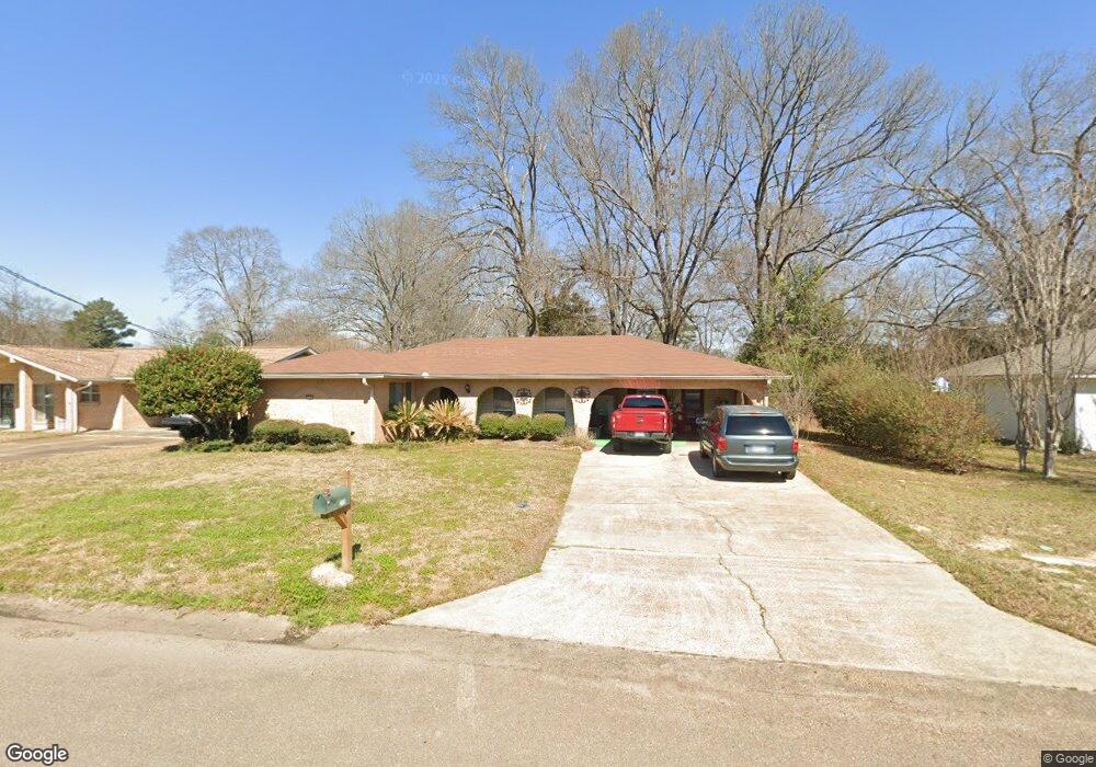
This home is located at 218 Stewart Cir, Pearl, MS 39208 and is currently estimated at $185,760, approximately $114 per square foot. 218 Stewart Cir is a home located in Rankin County with nearby schools including Pearl Lower Elementary School, Pearl Upper School, and Northside Elementary School.
Ownership History
Date
Name
Owned For
Owner Type
Purchase Details
Closed on
Aug 29, 2022
Sold by
Felder Mildred M
Bought by
Felder Mildred M and Beard Clyde P
Current Estimated Value
Purchase Details
Closed on
May 6, 2019
Sold by
Munn Jimmy L and Munn Floyd L
Bought by
Felder Mildred M
Home Financials for this Owner
Home Financials are based on the most recent Mortgage that was taken out on this home.
Original Mortgage
$106,250
Interest Rate
4%
Mortgage Type
New Conventional
Create a Home Valuation Report for This Property
The Home Valuation Report is an in-depth analysis detailing your home's value as well as a comparison with similar homes in the area
Home Values in the Area
Average Home Value in this Area
Purchase History
| Date | Buyer | Sale Price | Title Company |
|---|---|---|---|
| Felder Mildred M | -- | None Listed On Document | |
| Felder Mildred M | -- | -- |
Source: Public Records
Mortgage History
| Date | Status | Borrower | Loan Amount |
|---|---|---|---|
| Previous Owner | Felder Mildred M | $106,250 |
Source: Public Records
Tax History
| Year | Tax Paid | Tax Assessment Tax Assessment Total Assessment is a certain percentage of the fair market value that is determined by local assessors to be the total taxable value of land and additions on the property. | Land | Improvement |
|---|---|---|---|---|
| 2025 | $952 | $9,825 | $0 | $0 |
| 2024 | $952 | $9,825 | $0 | $0 |
| 2023 | $667 | $7,646 | $0 | $0 |
| 2022 | $0 | $7,646 | $0 | $0 |
| 2021 | $0 | $7,646 | $0 | $0 |
| 2020 | $667 | $7,646 | $0 | $0 |
| 2019 | $1,342 | $10,463 | $0 | $0 |
| 2018 | $1,341 | $10,463 | $0 | $0 |
| 2017 | $1,341 | $10,463 | $0 | $0 |
| 2016 | $0 | $7,358 | $0 | $0 |
| 2015 | -- | $7,358 | $0 | $0 |
| 2014 | -- | $7,358 | $0 | $0 |
| 2013 | -- | $7,358 | $0 | $0 |
Source: Public Records
Map
Nearby Homes
- 305 Lionel Rd
- 2372 Upper Dr
- 302 Saint Paul St
- 116 Oak Park Dr
- 503 Bruin Ave
- 2212 Old Brandon Rd
- 517 Cindy Ln
- 602 Pemberton Dr
- 3314 Dawn Dr
- 3443 Beaumont Dr
- 2069 Murray Dr
- 0 River Ridge Pkwy Unit 4145485
- 1010 Riverwood Cove
- 2550 Gina Dr
- 205 W Pine Dr
- 119 Hill Cir
- 208 W Lisa Dr
- 2009 Melvin Rd
- 958 Riverside Ln
- 968 Riverside Ln
- 214 Stewart Cir
- 222 Stewart Cir
- 128 Bert Cir
- 210 Stewart Cir
- 211 Stewart Cir
- 223 Stewart Cir
- 217 Stewart Cir
- 118 Bert Cir
- 229 Stewart Cir
- 226 Stewart Cir
- 206 Stewart Cir
- 125 Bert Cir
- 205 Stewart Cir
- 235 Stewart Cir
- 434 Gary Dr
- 440 Gary Dr
- 2831 Teasley Dr
- 202 Stewart Cir
- 2815 Teasley Dr
- 2820 Pine Circle Dr
Your Personal Tour Guide
Ask me questions while you tour the home.