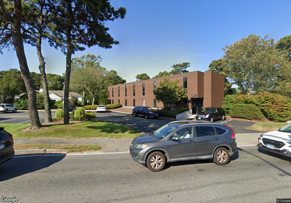
218 W Main St Barnstable, MA 02601
Estimated Value: $1,108,518
--
Bed
--
Bath
8,900
Sq Ft
$125/Sq Ft
Est. Value
About This Home
This home is located at 218 W Main St, Barnstable, MA 02601 and is currently estimated at $1,108,518, approximately $124 per square foot. 218 W Main St is a home located in Barnstable County with nearby schools including Hyannis West Elementary School, Barnstable United Elementary School, and Barnstable Intermediate School.
Ownership History
Date
Name
Owned For
Owner Type
Purchase Details
Closed on
Jan 3, 2022
Sold by
Great Pond T and Yee
Bought by
218 West Main Llc
Current Estimated Value
Home Financials for this Owner
Home Financials are based on the most recent Mortgage that was taken out on this home.
Original Mortgage
$637,500
Outstanding Balance
$585,127
Interest Rate
3.11%
Mortgage Type
Purchase Money Mortgage
Estimated Equity
$523,391
Purchase Details
Closed on
Jun 12, 1998
Sold by
Milford Sb and Fdic
Bought by
Great Pond T and Yee
Create a Home Valuation Report for This Property
The Home Valuation Report is an in-depth analysis detailing your home's value as well as a comparison with similar homes in the area
Home Values in the Area
Average Home Value in this Area
Purchase History
| Date | Buyer | Sale Price | Title Company |
|---|---|---|---|
| 218 West Main Llc | $850,000 | None Available | |
| Great Pond T | $320,000 | -- | |
| Great Pond T | $320,000 | -- |
Source: Public Records
Mortgage History
| Date | Status | Borrower | Loan Amount |
|---|---|---|---|
| Open | 218 West Main Llc | $637,500 |
Source: Public Records
Tax History Compared to Growth
Tax History
| Year | Tax Paid | Tax Assessment Tax Assessment Total Assessment is a certain percentage of the fair market value that is determined by local assessors to be the total taxable value of land and additions on the property. | Land | Improvement |
|---|---|---|---|---|
| 2025 | $11,764 | $1,196,700 | $330,000 | $866,700 |
| 2024 | $11,716 | $1,201,600 | $330,000 | $871,600 |
| 2023 | $12,629 | $1,201,600 | $330,000 | $871,600 |
| 2022 | $13,638 | $1,065,500 | $275,000 | $790,500 |
| 2021 | $13,731 | $1,072,700 | $275,000 | $797,700 |
| 2020 | $11,860 | $901,200 | $228,400 | $672,800 |
| 2019 | $12,308 | $911,700 | $228,400 | $683,300 |
| 2018 | $11,774 | $905,700 | $228,400 | $677,300 |
| 2017 | $11,213 | $891,300 | $228,400 | $662,900 |
| 2016 | $10,945 | $891,300 | $228,400 | $662,900 |
| 2015 | $9,841 | $820,100 | $219,500 | $600,600 |
Source: Public Records
Map
Nearby Homes
- 15 Goldie Way
- 135 W Main St Unit 45
- 297 W Main St Unit 12
- 24 Bettys Pond Rd Unit K
- 24 Betty's Pond Rd Unit 1K
- 292 Megan Rd
- 220 Fawcett Ln
- 295 Sudbury Ln
- 7 Arbeta Rd
- 36 Grouse Ln
- 83 Peacock Dr
- 199 Hamden Cir
- 20 Sunset Terrace
- 50 Redwood Ln
- 14 Marston Ave
- 28 Peacock Dr
- 229 Greenwood Ave
- 68 Seaboard Ln
- 141 Dolphin Ln
- 93 Sea St
- 218 W Main St Unit 2- E
- 218 W Main St Unit 3 E
- 218 W Main St
- 270 Pitchers Way
- 222 W Main St
- 215 W Main St Unit 1A
- 215 W Main St Unit 1,3,4,5
- 215 W Main St
- 215 W Main St
- 0 Town House Terrace Unit 72
- 187 W Main St
- 278 Pitchers Way
- 278 Pitchers Way
- 19 Goldie Way
- 15 Goldie Way
- 0 Old Main St
- 214 Pitchers Way
- 17 Forest Glen Rd
- 213 W Main St Unit D
- 213 W Main St