Estimated Value: $435,000 - $461,000
--
Bed
3
Baths
1,747
Sq Ft
$255/Sq Ft
Est. Value
About This Home
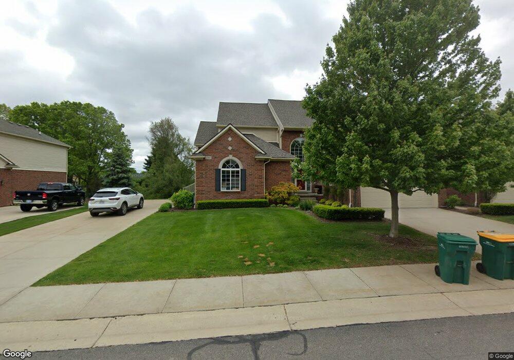
This home is located at 2180 Austin Dr Unit K, 25, Utica, MI 48316 and is currently estimated at $445,159, approximately $254 per square foot. 2180 Austin Dr Unit K, 25 is a home located in Macomb County with nearby schools including Roberts Elementary School, Malow Junior High School, and Eisenhower High School.
Ownership History
Date
Name
Owned For
Owner Type
Purchase Details
Closed on
Apr 7, 2020
Sold by
King Bobby Jo and Vigna Bobby Jo
Bought by
Wu Chenrui
Current Estimated Value
Purchase Details
Closed on
Jun 21, 2018
Sold by
Vigna Samuel Michael
Bought by
Vigna Bobby Jo
Purchase Details
Closed on
Jun 23, 2017
Sold by
Boardwalk Building Co
Bought by
Vigna Bobby Jo
Home Financials for this Owner
Home Financials are based on the most recent Mortgage that was taken out on this home.
Original Mortgage
$277,420
Interest Rate
4.02%
Mortgage Type
New Conventional
Purchase Details
Closed on
Nov 15, 2016
Sold by
Boardwalk Building Co
Bought by
Storm Philip B and Storm Sherry
Create a Home Valuation Report for This Property
The Home Valuation Report is an in-depth analysis detailing your home's value as well as a comparison with similar homes in the area
Home Values in the Area
Average Home Value in this Area
Purchase History
| Date | Buyer | Sale Price | Title Company |
|---|---|---|---|
| Wu Chenrui | $325,000 | None Available | |
| Vigna Bobby Jo | -- | None Available | |
| Vigna Bobby Jo | $286,000 | Ata National Title Group Llc | |
| Storm Philip B | $304,500 | Ata National Title Group Llc |
Source: Public Records
Mortgage History
| Date | Status | Borrower | Loan Amount |
|---|---|---|---|
| Previous Owner | Vigna Bobby Jo | $277,420 |
Source: Public Records
Tax History Compared to Growth
Tax History
| Year | Tax Paid | Tax Assessment Tax Assessment Total Assessment is a certain percentage of the fair market value that is determined by local assessors to be the total taxable value of land and additions on the property. | Land | Improvement |
|---|---|---|---|---|
| 2025 | $5,488 | $202,700 | $0 | $0 |
| 2024 | $3,248 | $193,100 | $0 | $0 |
| 2023 | $3,076 | $174,600 | $0 | $0 |
| 2022 | $4,962 | $161,800 | $0 | $0 |
| 2021 | $4,890 | $158,700 | $0 | $0 |
| 2020 | $2,648 | $154,000 | $0 | $0 |
| 2019 | $4,205 | $150,300 | $0 | $0 |
| 2018 | $4,082 | $138,400 | $0 | $0 |
Source: Public Records
Map
Nearby Homes
- 2156 Austin Dr
- 53266 Garland Dr
- 1874 Flagstone Cir
- 1850 Flagstone Cir Unit 53
- 52527 Belle Vernon
- 51677 Forster Ln Unit Lot 6
- 51605 Forster Ln Unit Lot 3
- 51581 Forster Ln Unit Lot 2
- 2239 Regency Hills Dr
- 51557 Forster Ln Unit Lot 1
- 3328 Forster Ln
- 620 Appoline Ct
- 53645 Lambeth Ct
- 3515 Forster Ln Unit Lot 20
- 422 La Porte Ct
- 385 Tourangeau Dr Unit 385
- 51244 Forster Ln
- 378 Tourangeau Dr
- 54127 Salem Dr
- 2282 Kingscross Dr
- 2180 Austin Dr Unit 25 Building K
- 2144 Austin Dr
- 2168 Austin Dr
- 2180 Austin Dr
- 2144 Austin Dr Unit 28
- 2024 Austin Dr Unit 12
- 2048 Austin Dr
- 2036 Austin Dr Unit 11
- 2036 Austin Dr
- 2060 Austin Dr
- 2051 Austin Dr Unit 7
- 2063 Austin Dr Unit 8
- 2027 Austin Dr Unit 5
- 2072 Austin Dr
- 2096 Austin Dr
- 2084 Austin Dr
- 2108 Austin Dr
- 2099 Austin Dr
- 2087 Austin Dr Unit C 2
- 2099 Austin Dr Unit 19