2180 Beans Bight Rd NE Bainbridge Island, WA 98110
Estimated Value: $2,495,000 - $4,494,050
3
Beds
4
Baths
2,969
Sq Ft
$1,287/Sq Ft
Est. Value
About This Home
This home is located at 2180 Beans Bight Rd NE, Bainbridge Island, WA 98110 and is currently estimated at $3,821,683, approximately $1,287 per square foot. 2180 Beans Bight Rd NE is a home located in Kitsap County with nearby schools including Bainbridge High School.
Ownership History
Date
Name
Owned For
Owner Type
Purchase Details
Closed on
Dec 6, 2005
Sold by
Rolfe Stuart T and Rolfe Theiline W
Bought by
Ketcham Samuel
Current Estimated Value
Purchase Details
Closed on
Jul 7, 1999
Sold by
Minor Stanley N and Minor Elizabeth S
Bought by
Gaffney Joseph M and The Island Trust
Create a Home Valuation Report for This Property
The Home Valuation Report is an in-depth analysis detailing your home's value as well as a comparison with similar homes in the area
Home Values in the Area
Average Home Value in this Area
Purchase History
| Date | Buyer | Sale Price | Title Company |
|---|---|---|---|
| Ketcham Samuel | $2,350,280 | Land Title Co | |
| Gaffney Joseph M | $1,700,000 | Chicago Title Insurance Co |
Source: Public Records
Tax History Compared to Growth
Tax History
| Year | Tax Paid | Tax Assessment Tax Assessment Total Assessment is a certain percentage of the fair market value that is determined by local assessors to be the total taxable value of land and additions on the property. | Land | Improvement |
|---|---|---|---|---|
| 2026 | $30,727 | $3,869,800 | $2,689,220 | $1,180,580 |
| 2025 | $30,727 | $3,869,800 | $2,689,220 | $1,180,580 |
| 2024 | $29,357 | $3,869,800 | $2,689,220 | $1,180,580 |
| 2023 | $24,678 | $3,106,510 | $2,151,370 | $955,140 |
| 2022 | $24,836 | $2,663,420 | $1,930,970 | $732,450 |
| 2021 | $24,229 | $2,476,800 | $1,793,050 | $683,750 |
| 2020 | $23,424 | $2,360,820 | $1,705,270 | $655,550 |
| 2019 | $20,524 | $2,108,660 | $1,517,190 | $591,470 |
| 2018 | $20,957 | $1,753,080 | $1,253,880 | $499,200 |
| 2017 | $17,991 | $1,753,080 | $1,253,880 | $499,200 |
| 2016 | $15,293 | $1,411,500 | $1,007,920 | $403,580 |
| 2015 | $13,680 | $1,287,870 | $915,000 | $372,870 |
| 2014 | -- | $1,143,360 | $807,770 | $335,590 |
| 2013 | -- | $1,213,140 | $857,810 | $355,330 |
Source: Public Records
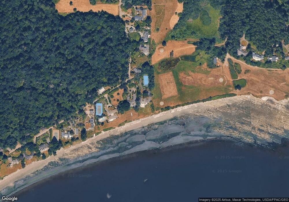
Map
Nearby Homes
- 11121 NE Brownell Ln
- 2372 Douglas Dr NE
- 0 Mardell (Lot 11) Ct Unit NWM1856637
- 0 Mardell (Lot 12) Ct Unit NWM1856638
- 0 Mardell (Lot 6) Ct Unit NWM1768026
- 0 Mardell (Lot 7) Ct Unit 1759157
- 1574 Park View Dr NE Unit 1
- 0 Lot 9 Park View Dr NE
- 0 Devenny Ave NE Unit NWM2324546
- 10403 NE Seaborn Rd
- 9721 NE Charisma Cir
- 10761 Bill Point Crest NE
- 4740 NE Rose Ave NE
- 0 NE Old Creosote Hill Rd
- 8609 E Caraway Rd
- 8471 E Caraway Rd
- 4420 Bluff Ln NE
- 6069 Watauga Beach Dr E
- 4205 Pleasant Beach Dr NE
- 4869 Rosalind Rd NE
- 2124 Beans Bight Rd NE
- 2080 Beans Bight Rd NE
- 2080 Beans Bight Rd NE
- 2250 Upper Farms Rd NE
- 2050 Beans Bight Rd NE
- 2310 Upper Farms Rd NE
- 2380 Upper Farms Rd NE
- 2030 Beans Bight Rd NE
- 2000 Beans Bight Rd NE
- 12221 NE Country Club Rd
- 12227 NE Country Club Rd
- 1962 Beans Bight Rd NE
- 12231 NE Country Club Rd
- 1920 Beans Bight Rd NE
- 2532 Upper Farms Rd NE
- 1899 Beans Bight Rd NE
- 12235 NE Country Club Rd
- 2536 Upper Farms Rd NE
- 12241 NE Country Club Rd