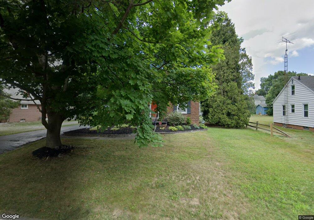
2180 Federal Ave Alliance, OH 44601
Estimated Value: $140,000 - $341,000
--
Bed
--
Bath
--
Sq Ft
7,492
Sq Ft Lot
About This Home
This home is located at 2180 Federal Ave, Alliance, OH 44601 and is currently estimated at $263,567. 2180 Federal Ave is a home located in Stark County with nearby schools including Alliance Elementary School at Rockhill, Alliance Intermediate School at Northside, and Alliance Middle School.
Ownership History
Date
Name
Owned For
Owner Type
Purchase Details
Closed on
Dec 12, 1995
Sold by
Moretti Kimberly R
Bought by
Strata Gary and Strata Sherry
Current Estimated Value
Home Financials for this Owner
Home Financials are based on the most recent Mortgage that was taken out on this home.
Original Mortgage
$69,000
Outstanding Balance
$1,432
Interest Rate
7.52%
Mortgage Type
New Conventional
Estimated Equity
$262,135
Purchase Details
Closed on
Mar 24, 1992
Purchase Details
Closed on
Jun 26, 1990
Create a Home Valuation Report for This Property
The Home Valuation Report is an in-depth analysis detailing your home's value as well as a comparison with similar homes in the area
Home Values in the Area
Average Home Value in this Area
Purchase History
| Date | Buyer | Sale Price | Title Company |
|---|---|---|---|
| Strata Gary | $77,000 | -- | |
| -- | -- | -- | |
| -- | $61,000 | -- |
Source: Public Records
Mortgage History
| Date | Status | Borrower | Loan Amount |
|---|---|---|---|
| Open | Strata Gary | $69,000 |
Source: Public Records
Tax History Compared to Growth
Tax History
| Year | Tax Paid | Tax Assessment Tax Assessment Total Assessment is a certain percentage of the fair market value that is determined by local assessors to be the total taxable value of land and additions on the property. | Land | Improvement |
|---|---|---|---|---|
| 2025 | -- | $6,380 | $5,080 | $1,300 |
| 2024 | -- | $6,380 | $5,080 | $1,300 |
| 2023 | $222 | $5,390 | $4,270 | $1,120 |
| 2022 | $112 | $5,390 | $4,270 | $1,120 |
| 2021 | $224 | $5,390 | $4,270 | $1,120 |
| 2020 | $207 | $4,660 | $3,710 | $950 |
| 2019 | $204 | $4,660 | $3,710 | $950 |
| 2018 | $205 | $4,660 | $3,710 | $950 |
| 2017 | $192 | $4,270 | $3,150 | $1,120 |
| 2016 | $193 | $4,270 | $3,150 | $1,120 |
| 2015 | $195 | $4,270 | $3,150 | $1,120 |
| 2014 | $200 | $4,170 | $3,080 | $1,090 |
| 2013 | $100 | $4,170 | $3,080 | $1,090 |
Source: Public Records
Map
Nearby Homes
- 2220 Western Ave
- 2112 Blenheim Ave
- 2050 Federal Ave
- 1059 Oakwood Dr
- 0 Winchester St
- 0 Winchester St Unit 5162877
- 884 W College Rd
- 2839 S Rockhill Ave
- 1201 Overlook Dr
- 1515 S Rockhill Ave
- 3101 Ridgehill Ave
- 1325 W Beech St
- 1321 Parkway Blvd
- 1038 Fairview Place
- 2081 Marwood Cir
- 970 Kingsway St
- 0 Easton St NE
- 738 Kingsway St
- 1430 Westwood Ave
- 896 Parkway Blvd
- 2180 Federal Ave
- 2182 Federal Ave
- 2158 Federal Ave
- 2181 Blenheim Ave
- 2191 Blenheim Ave
- 2159 Blenheim Ave
- 2195 Blenheim Ave
- 2189 Federal Ave
- 2171 Federal Ave
- 2136 Federal Ave
- 2149 Blenheim Ave
- 2199 Federal Ave
- 2204 Federal Ave
- 2159 Federal Ave
- 2139 Blenheim Ave
- 1416 Beechview Rd
- 2141 Federal Ave
- 2201 Federal Ave
- 2122 Federal Ave
- 2129 Blenheim Ave