2180 Kent Ct Mahwah, NJ 07430
Estimated Value: $487,000 - $542,000
--
Bed
--
Bath
1,344
Sq Ft
$385/Sq Ft
Est. Value
About This Home
This home is located at 2180 Kent Ct, Mahwah, NJ 07430 and is currently estimated at $517,029, approximately $384 per square foot. 2180 Kent Ct is a home located in Bergen County with nearby schools including Mahwah High School.
Ownership History
Date
Name
Owned For
Owner Type
Purchase Details
Closed on
Dec 10, 2001
Sold by
Kleinstein Eric
Bought by
Stein Boris
Current Estimated Value
Home Financials for this Owner
Home Financials are based on the most recent Mortgage that was taken out on this home.
Original Mortgage
$216,000
Outstanding Balance
$85,342
Interest Rate
6.72%
Estimated Equity
$431,687
Purchase Details
Closed on
Jul 15, 1999
Sold by
Busko Paul P and Busko Margaret
Bought by
Kleinstein Eric and Kleinstein Erica
Home Financials for this Owner
Home Financials are based on the most recent Mortgage that was taken out on this home.
Original Mortgage
$213,000
Interest Rate
7.39%
Purchase Details
Closed on
Jan 24, 1997
Sold by
K Hovnanian At Mahwah V Inc
Bought by
Busko Paul and Busko Margeret
Home Financials for this Owner
Home Financials are based on the most recent Mortgage that was taken out on this home.
Original Mortgage
$163,000
Interest Rate
7.6%
Create a Home Valuation Report for This Property
The Home Valuation Report is an in-depth analysis detailing your home's value as well as a comparison with similar homes in the area
Home Values in the Area
Average Home Value in this Area
Purchase History
| Date | Buyer | Sale Price | Title Company |
|---|---|---|---|
| Stein Boris | $270,000 | -- | |
| Kleinstein Eric | $225,000 | -- | |
| Busko Paul | $171,521 | -- |
Source: Public Records
Mortgage History
| Date | Status | Borrower | Loan Amount |
|---|---|---|---|
| Open | Stein Boris | $216,000 | |
| Previous Owner | Kleinstein Eric | $213,000 | |
| Previous Owner | Busko Paul | $163,000 |
Source: Public Records
Tax History Compared to Growth
Tax History
| Year | Tax Paid | Tax Assessment Tax Assessment Total Assessment is a certain percentage of the fair market value that is determined by local assessors to be the total taxable value of land and additions on the property. | Land | Improvement |
|---|---|---|---|---|
| 2025 | $6,877 | $333,200 | $205,000 | $128,200 |
| 2024 | $6,787 | $333,200 | $205,000 | $128,200 |
| 2023 | $6,571 | $333,200 | $205,000 | $128,200 |
| 2022 | $6,571 | $333,200 | $205,000 | $128,200 |
| 2021 | $6,501 | $333,200 | $205,000 | $128,200 |
| 2020 | $6,344 | $333,200 | $205,000 | $128,200 |
| 2019 | $6,134 | $333,200 | $205,000 | $128,200 |
| 2018 | $6,048 | $333,200 | $205,000 | $128,200 |
| 2017 | $5,951 | $333,200 | $205,000 | $128,200 |
| 2016 | $5,821 | $333,200 | $205,000 | $128,200 |
| 2015 | $5,741 | $333,200 | $205,000 | $128,200 |
| 2014 | $5,644 | $333,200 | $205,000 | $128,200 |
Source: Public Records
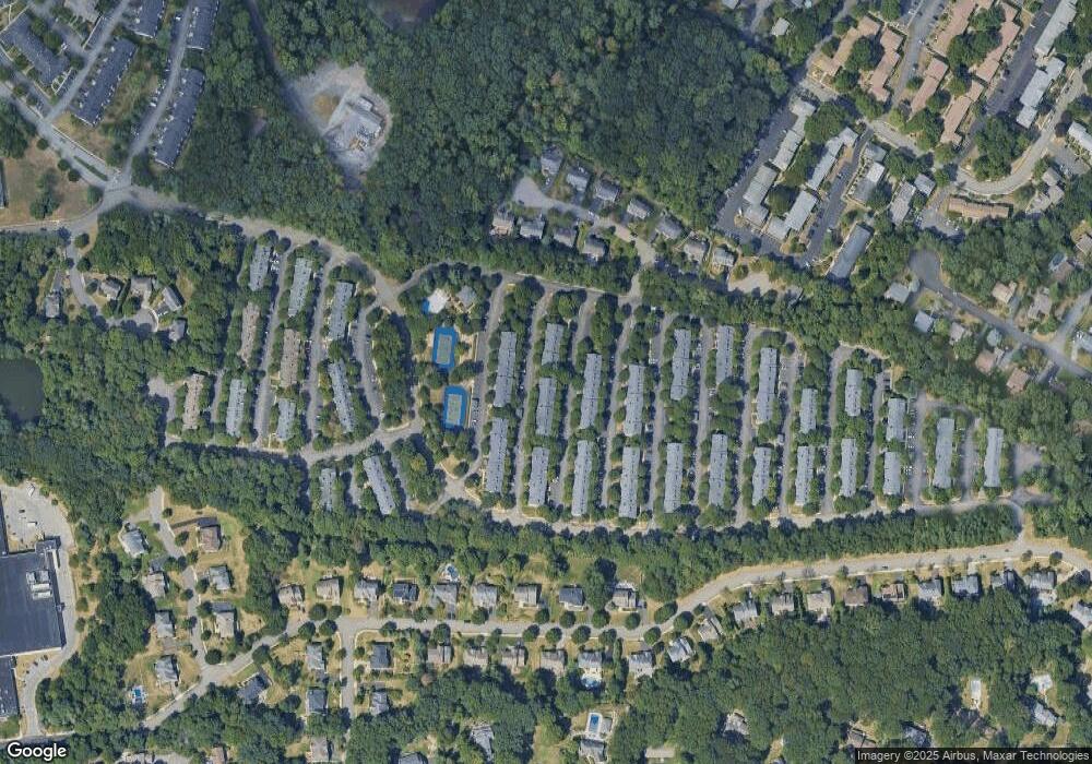
Map
Nearby Homes
- 2170 Kent Ct
- 2372 Phillip Ct
- 2120 Gunston Ct
- 199 Parkside Dr
- 155 Parkside Dr Unit 155
- 2054 Charles Ct
- 235 Parkside Dr Unit 235
- 208 Parkside Dr
- 114 Parkside Dr
- 66 Parkside Dr Unit 66
- 178 Parkside Dr Unit 178
- 256 Parkside Dr Unit 256
- 15 Stockbridge Ave
- 53 Doxbury Ln Unit 53
- 12 Sagamore Ave
- 19 Doxbury Ln Unit 19
- 13 Winter Terrace
- 1052 Chedworth Cir
- 23 Maplewood Blvd
- 7 Valley View Terrace
- 2181 Kent Ct
- 2151 Jordan Ct
- 2182 Kent Ct
- 2174 Kent Ct Unit 14D
- 2152 Jordan Ct
- 2183 Kent Ct Unit 1
- 2173 Kent Ct
- 2184 Kent Ct
- 2172 Kent Ct
- 2153 Jordan Ct
- 2176 Kent Ct
- 2185 Kent Ct
- 2149 Jordan Ct
- 2171 Kent Ct Unit 14G
- 2178 Kent Ct
- 2175 Kent Ct
- 2205 Lancaster Ct
- 2144 Jordan Ct
- 2204 Lancaster Ct
- 2143 Jordan Ct