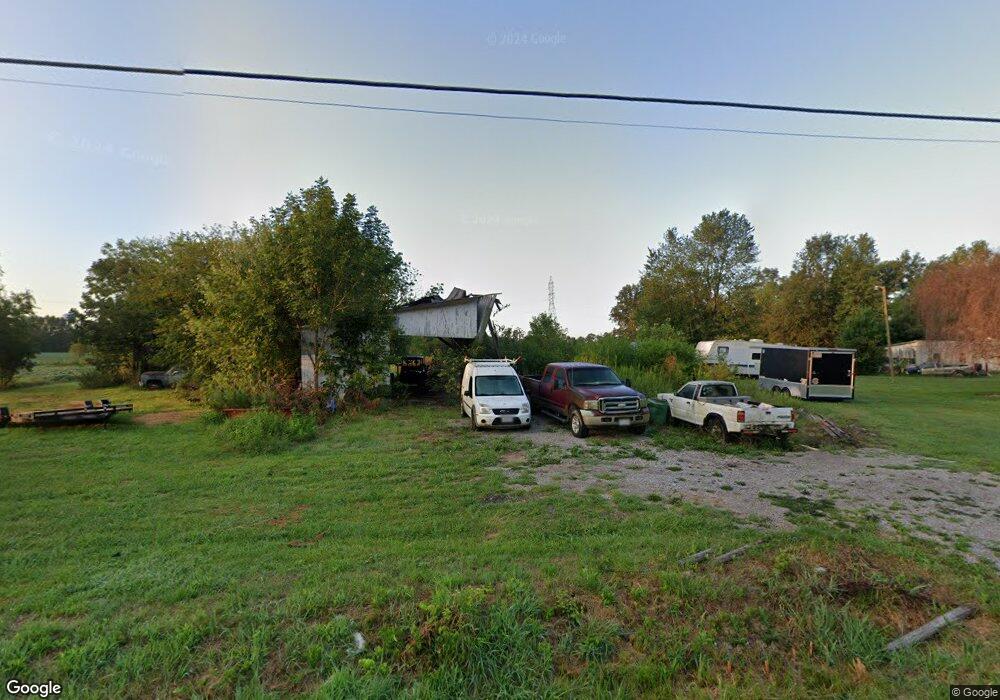
2180 New Harmony Shiloh Rd Mount Orab, OH 45154
Estimated Value: $94,000 - $170,000
2
Beds
1
Bath
1,286
Sq Ft
$98/Sq Ft
Est. Value
About This Home
This home is located at 2180 New Harmony Shiloh Rd, Mount Orab, OH 45154 and is currently estimated at $126,609, approximately $98 per square foot. 2180 New Harmony Shiloh Rd is a home located in Brown County with nearby schools including Western Brown High School.
Ownership History
Date
Name
Owned For
Owner Type
Purchase Details
Closed on
Jan 10, 2004
Sold by
Palmer Ronald S and Palmer Debra L
Bought by
Cook Dale A and Cook Kelle Jo
Current Estimated Value
Home Financials for this Owner
Home Financials are based on the most recent Mortgage that was taken out on this home.
Original Mortgage
$60,000
Interest Rate
6.08%
Mortgage Type
Purchase Money Mortgage
Purchase Details
Closed on
Oct 29, 2002
Sold by
Palmer Ronald S
Bought by
Cook Dale A and Cook Kelle J
Purchase Details
Closed on
Dec 23, 1998
Sold by
Reynolds Cecil
Bought by
Palmer Ronald S and Palmer Debra L
Home Financials for this Owner
Home Financials are based on the most recent Mortgage that was taken out on this home.
Original Mortgage
$42,700
Interest Rate
7.02%
Mortgage Type
New Conventional
Create a Home Valuation Report for This Property
The Home Valuation Report is an in-depth analysis detailing your home's value as well as a comparison with similar homes in the area
Home Values in the Area
Average Home Value in this Area
Purchase History
| Date | Buyer | Sale Price | Title Company |
|---|---|---|---|
| Cook Dale A | $60,000 | -- | |
| Cook Dale A | $60,000 | -- | |
| Palmer Ronald S | $22,000 | -- |
Source: Public Records
Mortgage History
| Date | Status | Borrower | Loan Amount |
|---|---|---|---|
| Closed | Cook Dale A | $60,000 | |
| Previous Owner | Palmer Ronald S | $42,700 |
Source: Public Records
Tax History Compared to Growth
Tax History
| Year | Tax Paid | Tax Assessment Tax Assessment Total Assessment is a certain percentage of the fair market value that is determined by local assessors to be the total taxable value of land and additions on the property. | Land | Improvement |
|---|---|---|---|---|
| 2024 | $110 | $3,750 | $3,750 | $0 |
| 2023 | $105 | $2,720 | $2,720 | $0 |
| 2022 | $80 | $2,720 | $2,720 | $0 |
| 2021 | $80 | $2,720 | $2,720 | $0 |
| 2020 | $71 | $2,360 | $2,360 | $0 |
| 2019 | $77 | $2,360 | $2,360 | $0 |
| 2018 | $76 | $2,360 | $2,360 | $0 |
| 2017 | $84 | $2,600 | $2,600 | $0 |
| 2016 | $84 | $2,600 | $2,600 | $0 |
| 2015 | $85 | $2,600 | $2,600 | $0 |
| 2014 | $80 | $2,360 | $2,360 | $0 |
| 2013 | $79 | $2,360 | $2,360 | $0 |
Source: Public Records
Map
Nearby Homes
- 1993 Old State Rd
- 2437 Tri County Hwy
- 153 Willow Run Rd
- 100 Longwood Blvd
- 115 Sweet Bay Trail
- 12570 Liming van Thompson Rd
- 3305 Pleasant Hill Rd
- 108 Boulder Dr
- 3722 Coon Ave
- 3524 Pleasant Hill Rd
- 15070 Bodman Rd
- 3614 Bootjack Corner Rd
- 3644 Deer Trace
- 0 Deer Trace Rd
- 101 Julian Ln
- 0 Karampas Unit 1850784
- 2756 Bardwell Rd W
- 133 Kelly Dr
- 3690 Todds Run Foster Rd
- 15316 Bodman Rd
- 2180 New Harmony Shiloh Rd
- 12990 Upper Cumberland Rd
- 2229 New Harmony Shiloh Rd
- 13718 Upper Cumberland Rd
- 13728 Upper Cumberland Rd
- 13738 Upper Cumberland Rd
- 2130 New Harmony Shiloh Rd
- 2128 New Harmony Shiloh Rd
- 2133 New Harmony Shiloh Rd
- 13682 Lower Cumberland Rd
- 13677 Lower Cumberland Rd
- 2017 Maple Grove Rd
- 2056 New Harmony Shiloh Rd
- 13632 Lower Cumberland Rd
- 13688 Gargonia Rd
- 2346 New Harmony Shiloh Rd
- 13623 Lower Cumberland Rd
- 13660 Gargonia Rd
- 2048 New Harmony Shiloh Rd
- 1981 Maple Grove Rd