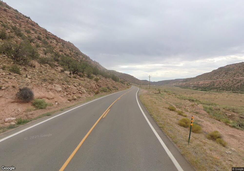
21800 Highway 141 Whitewater, CO 81527
Estimated Value: $365,705 - $533,000
2
Beds
2
Baths
1,204
Sq Ft
$364/Sq Ft
Est. Value
About This Home
This home is located at 21800 Highway 141, Whitewater, CO 81527 and is currently estimated at $438,426, approximately $364 per square foot. 21800 Highway 141 is a home with nearby schools including Gateway School.
Ownership History
Date
Name
Owned For
Owner Type
Purchase Details
Closed on
Mar 5, 2010
Sold by
Coleman Joseph
Bought by
Coleman Margaret F
Current Estimated Value
Purchase Details
Closed on
Jul 20, 2007
Sold by
Evans Julie S and Evans Donald T
Bought by
Coleman Nicolas and Coleman Joseph
Purchase Details
Closed on
Jan 24, 1996
Sold by
Blue Creek Land & Cattle Co
Bought by
Coleman Nicolas
Purchase Details
Closed on
Apr 7, 1995
Sold by
Blue Creek Land & Cattle Co
Bought by
Coleman Nicolas
Purchase Details
Closed on
Aug 5, 1994
Sold by
Blue Creek Land & Cattle Co
Bought by
Coleman Nicolas
Create a Home Valuation Report for This Property
The Home Valuation Report is an in-depth analysis detailing your home's value as well as a comparison with similar homes in the area
Home Values in the Area
Average Home Value in this Area
Purchase History
| Date | Buyer | Sale Price | Title Company |
|---|---|---|---|
| Coleman Margaret F | $64,810 | None Available | |
| Coleman Nicolas | $250,000 | Security Title | |
| Coleman Nicolas | $35,000 | -- | |
| Coleman Nicolas | -- | -- | |
| Coleman Nicolas | -- | -- |
Source: Public Records
Tax History Compared to Growth
Tax History
| Year | Tax Paid | Tax Assessment Tax Assessment Total Assessment is a certain percentage of the fair market value that is determined by local assessors to be the total taxable value of land and additions on the property. | Land | Improvement |
|---|---|---|---|---|
| 2024 | $1,010 | $14,460 | $4,030 | $10,430 |
| 2023 | $1,010 | $14,460 | $4,030 | $10,430 |
| 2022 | $1,294 | $18,270 | $5,080 | $13,190 |
| 2021 | $721 | $10,420 | $5,220 | $5,200 |
| 2020 | $498 | $7,380 | $4,290 | $3,090 |
| 2019 | $471 | $7,380 | $4,290 | $3,090 |
| 2018 | $447 | $6,440 | $3,250 | $3,190 |
| 2017 | $446 | $6,440 | $3,250 | $3,190 |
| 2016 | $399 | $6,480 | $3,600 | $2,880 |
| 2015 | $372 | $6,480 | $3,600 | $2,880 |
| 2014 | $376 | $6,600 | $4,260 | $2,340 |
Source: Public Records
Map
Nearby Homes
- 19280 Highway 141
- 1609 Colorado 141
- 300 Colorado 141
- 300 & 320 Colorado 141
- 320 Colorado 141
- 7465 Uncompahgre Divide Rd
- 26101 Highway 141
- 26101 & 246 16 1 10ths Rd
- 6519 Uncompahgre Divide Rd
- 26101 & 246 16 1 10 Rd
- TBD Divide Rd
- TBD Divide Rd Unit Entire Package
- TBD Divide Rd Unit Louie Pasture
- 000 Divide Rd
- 16961 S H 3 10 Rd
- TBD Divide Rd
- TBD Divide Rd Unit Mont's Draw
- 2586 26 1 10 Rd
- LOTS 4,5,& 6 Elk Ranch Rd
- 000 Divide (Louie Pasture) Rd
