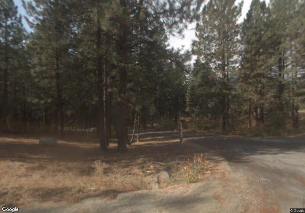
21804 Colt Rd Leavenworth, WA 98826
Estimated Value: $399,000 - $486,000
2
Beds
1
Bath
616
Sq Ft
$703/Sq Ft
Est. Value
About This Home
This home is located at 21804 Colt Rd, Leavenworth, WA 98826 and is currently estimated at $433,048, approximately $703 per square foot. 21804 Colt Rd is a home located in Chelan County with nearby schools including Cascade High School.
Ownership History
Date
Name
Owned For
Owner Type
Purchase Details
Closed on
Oct 18, 2021
Sold by
Obrien Sierra E
Bought by
Brockett James Christopher and Brockett Sarah Ann
Current Estimated Value
Purchase Details
Closed on
Jun 2, 2016
Sold by
Rand Elizabeth B
Bought by
Brien Sierra E O
Home Financials for this Owner
Home Financials are based on the most recent Mortgage that was taken out on this home.
Original Mortgage
$155,700
Interest Rate
3.59%
Mortgage Type
New Conventional
Purchase Details
Closed on
Apr 27, 2007
Sold by
Wade John G
Bought by
Rand Elizabeth B
Create a Home Valuation Report for This Property
The Home Valuation Report is an in-depth analysis detailing your home's value as well as a comparison with similar homes in the area
Home Values in the Area
Average Home Value in this Area
Purchase History
| Date | Buyer | Sale Price | Title Company |
|---|---|---|---|
| Brockett James Christopher | $360,000 | North Meridian T&E Llc | |
| Brien Sierra E O | $173,000 | North Meridian Title & Escro | |
| Rand Elizabeth B | $55,000 | First American Title |
Source: Public Records
Mortgage History
| Date | Status | Borrower | Loan Amount |
|---|---|---|---|
| Previous Owner | Brien Sierra E O | $155,700 |
Source: Public Records
Tax History Compared to Growth
Tax History
| Year | Tax Paid | Tax Assessment Tax Assessment Total Assessment is a certain percentage of the fair market value that is determined by local assessors to be the total taxable value of land and additions on the property. | Land | Improvement |
|---|---|---|---|---|
| 2021 | $2,113 | $224,044 | $77,280 | $146,764 |
| 2020 | $1,707 | $168,983 | $63,684 | $105,299 |
| 2019 | $1,499 | $169,579 | $65,520 | $104,059 |
| 2018 | $1,499 | $134,005 | $69,690 | $64,315 |
| 2017 | -- | $131,345 | $61,410 | $69,935 |
| 2016 | $1,126 | $120,910 | $46,956 | $73,954 |
| 2015 | $1,126 | $119,958 | $50,052 | $69,906 |
| 2013 | $1,126 | $122,959 | $60,750 | $62,209 |
Source: Public Records
Map
Nearby Homes
- 22103 Camp 12 Rd
- 21823 Colt Rd
- 21404 Stirrup Rd
- 22413 Shetland Rd
- 22415 Stirrup Rd
- 0 NHN Spur St
- 24109 Morgan St
- 21311 Stetson Rd
- 21317 Quarter Rd
- 25312 Saddle St
- 25615 Camp 12 Rd
- 25711 Bridle Ln
- 23107 Saddle St
- 25205 Saddle St
- 25607 Camp 12 Rd
- 25813 Bridle Ln
- 197 Swiftwater Ln
- 25601 Camp 12 Rd
- 17558 River Rd
- 21512 Camp 12 Rd
