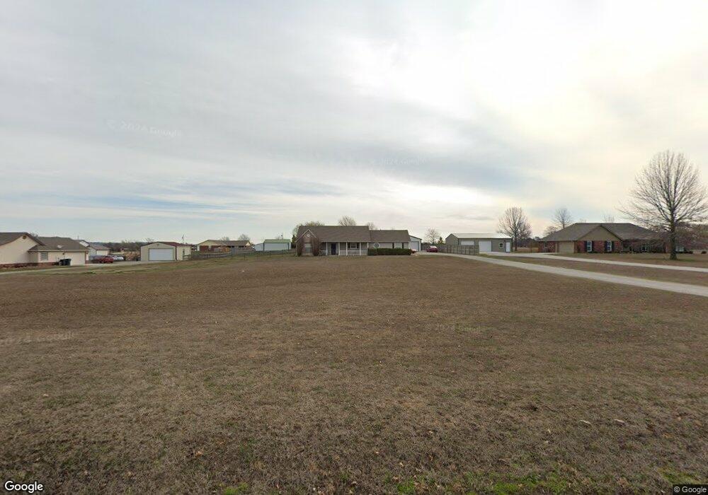
21807 S 4190 Rd Claremore, OK 74019
Estimated Value: $272,000 - $348,000
3
Beds
2
Baths
1,688
Sq Ft
$176/Sq Ft
Est. Value
About This Home
This home is located at 21807 S 4190 Rd, Claremore, OK 74019 and is currently estimated at $296,532, approximately $175 per square foot. 21807 S 4190 Rd is a home located in Rogers County with nearby schools including Justus-Tiawah Public School, Legacy Christian School, and Heritage Adventist School.
Ownership History
Date
Name
Owned For
Owner Type
Purchase Details
Closed on
Feb 8, 2024
Sold by
Phillips Donald L
Bought by
Phillips Donald L and Phillips Angela N
Current Estimated Value
Home Financials for this Owner
Home Financials are based on the most recent Mortgage that was taken out on this home.
Original Mortgage
$232,804
Outstanding Balance
$228,240
Interest Rate
6.62%
Mortgage Type
FHA
Estimated Equity
$68,292
Purchase Details
Closed on
Apr 16, 2001
Sold by
Thomas Guinn and Thomas Builders~Llc
Bought by
Phillips Donald L
Purchase Details
Closed on
Jun 10, 1999
Sold by
Smith Philip H Trustee
Create a Home Valuation Report for This Property
The Home Valuation Report is an in-depth analysis detailing your home's value as well as a comparison with similar homes in the area
Home Values in the Area
Average Home Value in this Area
Purchase History
| Date | Buyer | Sale Price | Title Company |
|---|---|---|---|
| Phillips Donald L | -- | None Listed On Document | |
| Phillips Donald L | $115,500 | -- | |
| -- | $55,000 | -- |
Source: Public Records
Mortgage History
| Date | Status | Borrower | Loan Amount |
|---|---|---|---|
| Open | Phillips Donald L | $232,804 |
Source: Public Records
Tax History Compared to Growth
Tax History
| Year | Tax Paid | Tax Assessment Tax Assessment Total Assessment is a certain percentage of the fair market value that is determined by local assessors to be the total taxable value of land and additions on the property. | Land | Improvement |
|---|---|---|---|---|
| 2025 | $1,669 | $21,629 | $2,240 | $19,389 |
| 2024 | $1,669 | $21,000 | $2,175 | $18,825 |
| 2023 | $1,669 | $20,388 | $1,980 | $18,408 |
| 2022 | $1,563 | $19,794 | $1,980 | $17,814 |
| 2021 | $1,545 | $19,218 | $1,980 | $17,238 |
| 2020 | $1,496 | $19,085 | $1,980 | $17,105 |
| 2019 | $1,484 | $18,131 | $1,980 | $16,151 |
| 2018 | $1,527 | $18,611 | $1,980 | $16,631 |
| 2017 | $1,427 | $18,498 | $1,980 | $16,518 |
| 2016 | $1,447 | $17,960 | $1,980 | $15,980 |
| 2015 | $1,411 | $17,437 | $1,980 | $15,457 |
| 2014 | $1,367 | $16,929 | $1,980 | $14,949 |
Source: Public Records
Map
Nearby Homes
- 0 S 4190 Rd Unit 2529871
- 15232 E 495 Rd
- 21788 S 4200 Rd
- 15552 E Hwy 20
- 21304 S 4200 Rd
- 23025 S 4190 Rd
- 20964 S 4183 Rd
- 06 S 4200 Rd
- 22045 S Rocky Ridge Place
- 22450 S Rocky Ridge Ln
- 09 S 4200 Rd
- 04 S 4200 Rd
- 05 S 4200 Rd
- 23425 S Hooty Creek Rd
- 14350 E 510 Rd
- 1102 W Lawton Rd
- 19985 S Wind Ridge Dr
- 17065 Honeysuckle Ln
- 9501 S 4170 Rd
- 19962 S Windridge Dr
- 21857 S 4190 Rd
- 21757 S 4190 Rd
- 21907 S 4190 Rd
- 21802 S Sundance Dr
- 21752 S Sundance Dr
- 21707 S 4190 Rd
- 21902 S Sundance Dr
- 16111 E 500 Rd
- 21702 S Sundance Dr
- 21657 S 4190 Rd
- 3 S Sundance Dr
- 1 S Sundance Dr
- 16115 E 500 Rd
- 21650 S 4190 Rd
- 16155 E 500 Rd
- 16012 E 500 Rd
- 16094 E 500 Rd
- 21940 S 4190 Rd
- 15946 E 500 Rd
- 16194 E 500 Rd