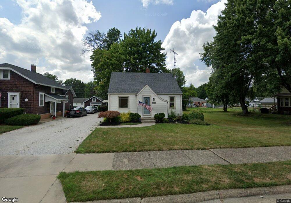
2181 Blenheim Ave Alliance, OH 44601
Estimated Value: $175,000 - $186,000
2
Beds
2
Baths
1,132
Sq Ft
$160/Sq Ft
Est. Value
About This Home
This home is located at 2181 Blenheim Ave, Alliance, OH 44601 and is currently estimated at $181,679, approximately $160 per square foot. 2181 Blenheim Ave is a home located in Stark County with nearby schools including Alliance Elementary School at Rockhill, Alliance Intermediate School at Northside, and Alliance Middle School.
Ownership History
Date
Name
Owned For
Owner Type
Purchase Details
Closed on
Oct 14, 2021
Sold by
Twyman John W and Twyman Barbara
Bought by
Gatts Joseph S and Gatts Juliette Hilda
Current Estimated Value
Home Financials for this Owner
Home Financials are based on the most recent Mortgage that was taken out on this home.
Original Mortgage
$140,650
Interest Rate
2.1%
Mortgage Type
New Conventional
Create a Home Valuation Report for This Property
The Home Valuation Report is an in-depth analysis detailing your home's value as well as a comparison with similar homes in the area
Home Values in the Area
Average Home Value in this Area
Purchase History
| Date | Buyer | Sale Price | Title Company |
|---|---|---|---|
| Gatts Joseph S | $145,000 | None Available |
Source: Public Records
Mortgage History
| Date | Status | Borrower | Loan Amount |
|---|---|---|---|
| Previous Owner | Gatts Joseph S | $140,650 |
Source: Public Records
Tax History Compared to Growth
Tax History
| Year | Tax Paid | Tax Assessment Tax Assessment Total Assessment is a certain percentage of the fair market value that is determined by local assessors to be the total taxable value of land and additions on the property. | Land | Improvement |
|---|---|---|---|---|
| 2025 | -- | $50,580 | $10,150 | $40,430 |
| 2024 | -- | $50,580 | $10,150 | $40,430 |
| 2023 | $1,526 | $37,950 | $8,510 | $29,440 |
| 2022 | $1,536 | $37,950 | $8,510 | $29,440 |
| 2021 | $1,444 | $35,640 | $8,510 | $27,130 |
| 2020 | $1,328 | $30,560 | $7,420 | $23,140 |
| 2019 | $1,310 | $30,560 | $7,420 | $23,140 |
| 2018 | $1,316 | $30,560 | $7,420 | $23,140 |
| 2017 | $1,235 | $28,190 | $6,340 | $21,850 |
| 2016 | $1,209 | $27,380 | $6,340 | $21,040 |
| 2015 | $1,219 | $27,380 | $6,340 | $21,040 |
| 2014 | $1,248 | $26,680 | $6,160 | $20,520 |
| 2013 | $623 | $26,680 | $6,160 | $20,520 |
Source: Public Records
Map
Nearby Homes
- 2112 Blenheim Ave
- 2050 Federal Ave
- 2220 Western Ave
- 1059 Oakwood Dr
- 884 W College Rd
- 0 Winchester St
- 0 Winchester St Unit 5162877
- 1201 Overlook Dr
- 2839 S Rockhill Ave
- 1515 S Rockhill Ave
- 1321 Parkway Blvd
- 3101 Ridgehill Ave
- 1038 Fairview Place
- 1325 W Beech St
- 970 Kingsway St
- 2081 Marwood Cir
- 738 Kingsway St
- 896 Parkway Blvd
- 1430 Westwood Ave
- 0 Easton St NE
- 2191 Blenheim Ave
- 2195 Blenheim Ave
- 2159 Blenheim Ave
- 2149 Blenheim Ave
- 2180 Federal Ave
- 2180 Federal Ave
- 2182 Federal Ave
- 2180 Blenheim Ave
- 1416 Beechview Rd
- 2139 Blenheim Ave
- 2158 Federal Ave
- 2160 Blenheim Ave
- 2198 Blenheim Ave
- 2150 Blenheim Ave
- 2136 Federal Ave
- 2129 Blenheim Ave
- 2204 Federal Ave
- 2142 Blenheim Ave
- 1305 Electric Blvd
- 1303 Electric Blvd