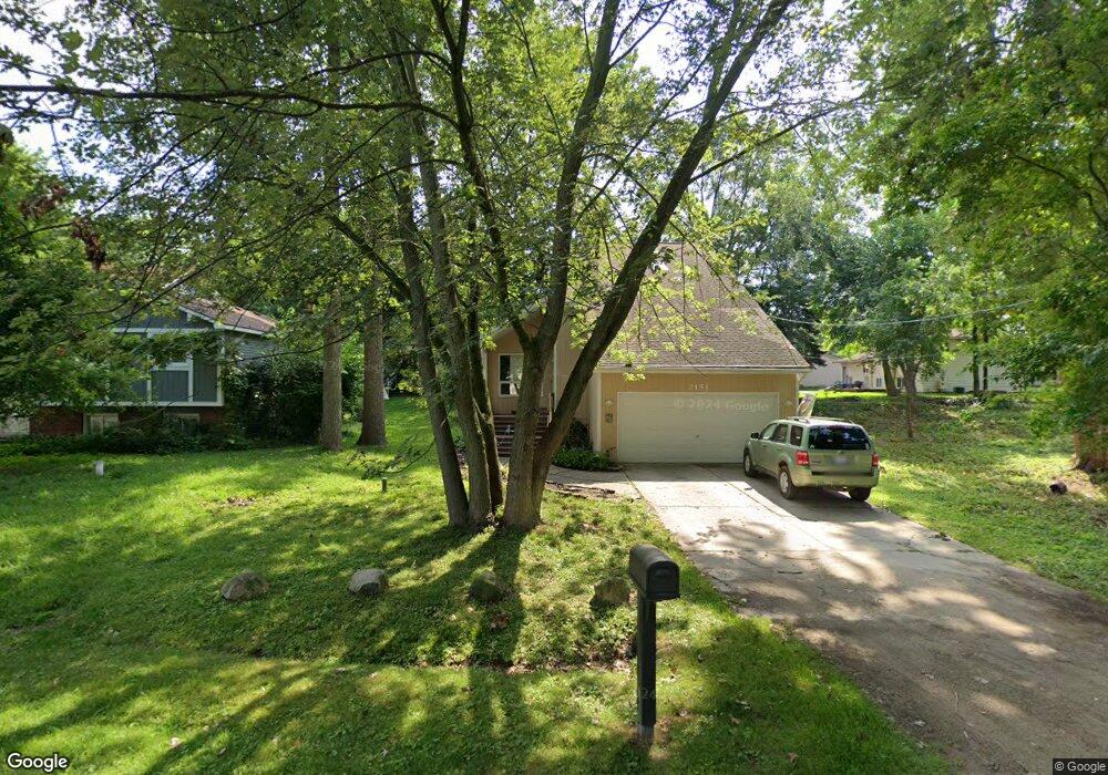
2181 Mapesbury Dr Unit Bldg-Unit West Bloomfield, MI 48324
Estimated Value: $349,000 - $522,000
3
Beds
3
Baths
1,760
Sq Ft
$232/Sq Ft
Est. Value
About This Home
This home is located at 2181 Mapesbury Dr Unit Bldg-Unit, West Bloomfield, MI 48324 and is currently estimated at $408,142, approximately $231 per square foot. 2181 Mapesbury Dr Unit Bldg-Unit is a home located in Oakland County with nearby schools including Waterford Montessori Academy, Our Lady Of Refuge School, and Lakecrest Baptist School.
Ownership History
Date
Name
Owned For
Owner Type
Purchase Details
Closed on
Jun 26, 2023
Sold by
Stein Michael C
Bought by
Rogers Brent Delayne and Rogers Paige Michelle
Current Estimated Value
Home Financials for this Owner
Home Financials are based on the most recent Mortgage that was taken out on this home.
Original Mortgage
$289,987
Outstanding Balance
$282,782
Interest Rate
6.57%
Mortgage Type
FHA
Estimated Equity
$125,360
Purchase Details
Closed on
Aug 21, 2000
Sold by
Brewer Timothy A
Bought by
Stein Michael C
Create a Home Valuation Report for This Property
The Home Valuation Report is an in-depth analysis detailing your home's value as well as a comparison with similar homes in the area
Home Values in the Area
Average Home Value in this Area
Purchase History
| Date | Buyer | Sale Price | Title Company |
|---|---|---|---|
| Rogers Brent Delayne | $307,500 | Interstate Title | |
| Rogers Brent Delayne | $307,500 | Interstate Title | |
| Stein Michael C | $225,000 | -- |
Source: Public Records
Mortgage History
| Date | Status | Borrower | Loan Amount |
|---|---|---|---|
| Open | Rogers Brent Delayne | $289,987 |
Source: Public Records
Tax History Compared to Growth
Tax History
| Year | Tax Paid | Tax Assessment Tax Assessment Total Assessment is a certain percentage of the fair market value that is determined by local assessors to be the total taxable value of land and additions on the property. | Land | Improvement |
|---|---|---|---|---|
| 2024 | $3,807 | $162,370 | $0 | $0 |
| 2022 | $3,694 | $132,360 | $23,690 | $108,670 |
| 2021 | $4,954 | $121,540 | $0 | $0 |
| 2020 | $3,304 | $118,930 | $22,420 | $96,510 |
| 2018 | $4,247 | $103,390 | $20,240 | $83,150 |
| 2015 | -- | $81,200 | $0 | $0 |
| 2014 | -- | $73,070 | $0 | $0 |
| 2011 | -- | $65,720 | $0 | $0 |
Source: Public Records
Map
Nearby Homes
- 5145 Greer Rd
- 5149 Latimer St
- 2115 Aldwin Dr
- 1859 Poppleton Dr
- 2110 Peachtree Ct
- 1844 Poppleton Dr
- 5699 Applegrove Dr
- 1753 Dawncrest Dr
- 2501 Doleman Dr
- 2140 Timberridge Ct
- 4796 Dow Ridge Rd
- 4764 Dow Ridge Rd
- 5190 Westcombe Ln
- Lot 94 Hiller Rd
- 2112 Keylon Dr
- 2745 Lari Ct
- VAC Daron Ln
- 1522 Oregon Ct
- 1677 Parkview Ave
- 3102 Rose Ln
- 2181 Mapesbury Dr
- 2169 Mapesbury Dr
- 5216 Latimer St
- 5208 Latimer St
- 2150 Moorgate Dr
- 2159 Mapesbury Dr
- 5200 Latimer St
- 2174 Mapesbury Dr
- 2162 Mapesbury Dr
- 2186 Mapesbury Dr
- 2130 Moorgate Dr
- 2150 Mapesbury Dr Unit Bldg-Unit
- 2150 Mapesbury Dr
- 2150 Mapesbury Dr
- 2145 Mapesbury Dr
- 5250 Latimer St
- 2140 Mapesbury Dr
- 5237 Latimer St
- 2110 Moorgate Dr
- 2175 Moorgate Dr