2181 S Mack Dr Wasilla, AK 99654
Estimated Value: $316,000 - $652,726
5
Beds
4
Baths
4,600
Sq Ft
$112/Sq Ft
Est. Value
About This Home
This home is located at 2181 S Mack Dr, Wasilla, AK 99654 and is currently estimated at $517,242, approximately $112 per square foot. 2181 S Mack Dr is a home located in Matanuska-Susitna Borough with nearby schools including Goose Bay Elementary School, Wasilla Middle School, and Wasilla High School.
Ownership History
Date
Name
Owned For
Owner Type
Purchase Details
Closed on
Oct 3, 2006
Sold by
Eysel Kook Hyang and Eysel Helmut
Bought by
Shaw Son C and Shaw Kin Y
Current Estimated Value
Home Financials for this Owner
Home Financials are based on the most recent Mortgage that was taken out on this home.
Original Mortgage
$361,000
Outstanding Balance
$215,058
Interest Rate
6.43%
Mortgage Type
New Conventional
Estimated Equity
$302,184
Purchase Details
Closed on
May 6, 2004
Sold by
Tebow Stanley J and Tebow Sandra
Bought by
Eysel Helmut and Eysel Kook Hyang
Home Financials for this Owner
Home Financials are based on the most recent Mortgage that was taken out on this home.
Original Mortgage
$315,000
Interest Rate
5.38%
Mortgage Type
Unknown
Purchase Details
Closed on
Sep 3, 2002
Sold by
Tebow Suzanne
Bought by
Tebow Stanley J
Create a Home Valuation Report for This Property
The Home Valuation Report is an in-depth analysis detailing your home's value as well as a comparison with similar homes in the area
Home Values in the Area
Average Home Value in this Area
Purchase History
| Date | Buyer | Sale Price | Title Company |
|---|---|---|---|
| Shaw Son C | -- | None Available | |
| Eysel Helmut | -- | Mat Su Title Ins Agency Inc | |
| Tebow Stanley J | -- | -- |
Source: Public Records
Mortgage History
| Date | Status | Borrower | Loan Amount |
|---|---|---|---|
| Open | Shaw Son C | $361,000 | |
| Previous Owner | Eysel Helmut | $315,000 |
Source: Public Records
Tax History Compared to Growth
Tax History
| Year | Tax Paid | Tax Assessment Tax Assessment Total Assessment is a certain percentage of the fair market value that is determined by local assessors to be the total taxable value of land and additions on the property. | Land | Improvement |
|---|---|---|---|---|
| 2025 | $2,909 | $561,100 | $110,400 | $450,700 |
| 2024 | $2,909 | $545,300 | $110,400 | $434,900 |
| 2023 | $5,383 | $522,800 | $110,400 | $412,400 |
| 2022 | $5,222 | $481,200 | $110,400 | $370,800 |
| 2021 | $5,209 | $430,800 | $110,400 | $320,400 |
| 2020 | $5,136 | $411,800 | $110,400 | $301,400 |
| 2019 | $4,982 | $397,400 | $110,400 | $287,000 |
| 2018 | $4,828 | $335,000 | $110,400 | $224,600 |
| 2017 | $4,893 | $392,000 | $110,400 | $281,600 |
| 2016 | $4,792 | $394,900 | $110,400 | $284,500 |
| 2015 | $4,418 | $382,200 | $103,400 | $278,800 |
| 2014 | $4,418 | $373,000 | $103,400 | $269,600 |
Source: Public Records
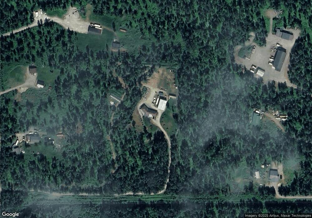
Map
Nearby Homes
- 1756 S Alliance Country Dr
- 1780 S Alliance Country Dr
- 1958 Laurie Meadows Dr
- 1815 S Alliance Country Dr
- 3452 W Charlies Ridge Dr
- 2450 S Knik Goose Bay Rd
- 3161 W Sakai St
- 2073 W Cashatt Dr
- 2845 S Clapp St
- 2755 S Avalon Cir
- 2025 W Cashhatt Ave
- 1929 W Cashatt Ave
- 1840 W Pipestone Dr
- 3140 S Heritage Farm Rd
- 1869 W Cashatt Ave
- 1701 S Corwin Ln
- L1 B1 S Corwin Ln
- L2 B1 S Corwin Ln
- 1690 W Valley Ridge Dr
- 1610 W Valley Ridge Dr
- 2419 W James T Cir
- 1801 S Mack Dr
- 2001 S Mack Dr
- 1901 S Mack Dr
- 1901 S Mack Dr
- D020 S Mack Rd
- 2425 W James T Cir
- 2401 W James T Cir
- 3103 W Laurie Ave
- 2752 W Mill Site Rd
- 2752 W Mill Site Cir
- C018 Mack Rd
- 2829 W James T Cir
- 2439 W James T Cir
- 2201 S Mack Dr
- 2759 W James T Cir
- 1942 S Mack Dr
- 2852 W Mill Site Cir
- 2852 W Mill Site Cir
- L1 W James T Ave