Estimated Value: $214,000 - $290,000
3
Beds
3
Baths
1,224
Sq Ft
$193/Sq Ft
Est. Value
About This Home
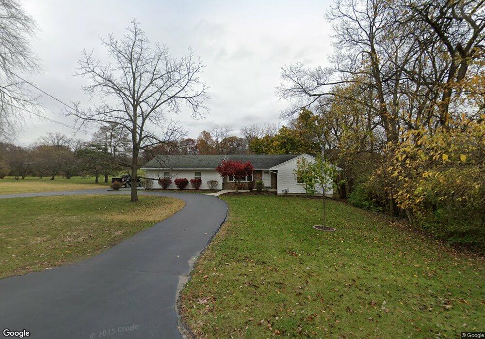
This home is located at 2181 Shawnee Rd, Lima, OH 45805 and is currently estimated at $236,336, approximately $193 per square foot. 2181 Shawnee Rd is a home located in Allen County with nearby schools including Elmwood Elementary School, Maplewood Elementary School, and Shawnee Middle School.
Ownership History
Date
Name
Owned For
Owner Type
Purchase Details
Closed on
Apr 19, 2007
Sold by
Sutherland Robert A and Sutherland Connie J
Bought by
Coburn Gregory D and Coburn Colleen Sue
Current Estimated Value
Home Financials for this Owner
Home Financials are based on the most recent Mortgage that was taken out on this home.
Original Mortgage
$120,000
Outstanding Balance
$72,755
Interest Rate
6.2%
Mortgage Type
Purchase Money Mortgage
Estimated Equity
$163,582
Purchase Details
Closed on
Dec 16, 2005
Sold by
Thedieck James J
Bought by
Sutherland Robert A and Sutherland Connie J
Purchase Details
Closed on
Jun 1, 1977
Bought by
Thedieck James J
Create a Home Valuation Report for This Property
The Home Valuation Report is an in-depth analysis detailing your home's value as well as a comparison with similar homes in the area
Purchase History
| Date | Buyer | Sale Price | Title Company |
|---|---|---|---|
| Coburn Gregory D | $130,000 | None Available | |
| Sutherland Robert A | $70,000 | None Available | |
| Thedieck James J | $37,300 | -- |
Source: Public Records
Mortgage History
| Date | Status | Borrower | Loan Amount |
|---|---|---|---|
| Open | Coburn Gregory D | $120,000 |
Source: Public Records
Tax History
| Year | Tax Paid | Tax Assessment Tax Assessment Total Assessment is a certain percentage of the fair market value that is determined by local assessors to be the total taxable value of land and additions on the property. | Land | Improvement |
|---|---|---|---|---|
| 2024 | $2,480 | $59,930 | $14,530 | $45,400 |
| 2023 | $2,290 | $49,950 | $12,110 | $37,840 |
| 2022 | $2,298 | $49,950 | $12,110 | $37,840 |
| 2021 | $2,308 | $49,950 | $12,110 | $37,840 |
| 2020 | $1,780 | $45,230 | $11,870 | $33,360 |
| 2019 | $1,780 | $45,230 | $11,870 | $33,360 |
| 2018 | $1,774 | $45,230 | $11,870 | $33,360 |
| 2017 | $1,570 | $39,660 | $11,870 | $27,790 |
| 2016 | $1,653 | $39,660 | $11,870 | $27,790 |
| 2015 | $1,884 | $39,660 | $11,870 | $27,790 |
| 2014 | $1,884 | $38,680 | $11,870 | $26,810 |
| 2013 | $1,916 | $38,680 | $11,870 | $26,810 |
Source: Public Records
Map
Nearby Homes
- 5 Estate Dr
- 2 Estate Dr
- 6 Estate Dr
- 1 Estate Dr
- 1635 Tanglewood Ln
- 2 Parcel Zurmehly Land Package
- 115 Lanes End
- 2852 Riverwalk Blvd Unit 2852
- 1421 Shawnee Rd
- 2632 Alexandria Dr
- 2970 Sands Rd
- 1409 Fulton Rd
- 1453 W Shore Dr
- 2975 Zurmehly Rd
- 1540 Adak Ave
- 1408 Winghaven Dr
- 2529 Struthmore Dr
- 250 Squire Ln
- 1845 Reed Rd
- 2072 Arcadia Ave
Your Personal Tour Guide
Ask me questions while you tour the home.