Estimated Value: $1,174,122
--
Bed
--
Bath
850
Sq Ft
$1,381/Sq Ft
Est. Value
About This Home
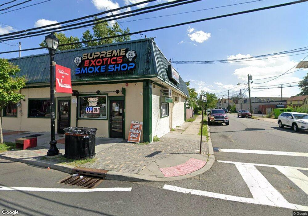
This home is located at 2181 Springfield Ave, Union, NJ 07088 and is currently estimated at $1,174,122, approximately $1,381 per square foot. 2181 Springfield Ave is a home located in Union County with nearby schools including Union High School and St Michael Parish School.
Ownership History
Date
Name
Owned For
Owner Type
Purchase Details
Closed on
Apr 23, 2025
Sold by
Amerizon Group Llc
Bought by
Power Group Realty Corp
Current Estimated Value
Home Financials for this Owner
Home Financials are based on the most recent Mortgage that was taken out on this home.
Original Mortgage
$750,000
Outstanding Balance
$746,671
Interest Rate
6.65%
Mortgage Type
New Conventional
Estimated Equity
$427,451
Purchase Details
Closed on
Jul 9, 2007
Sold by
Meisler Eli and Meisler Barbara
Bought by
Amerizon Group Llc
Home Financials for this Owner
Home Financials are based on the most recent Mortgage that was taken out on this home.
Original Mortgage
$311,250
Interest Rate
6.48%
Mortgage Type
Commercial
Create a Home Valuation Report for This Property
The Home Valuation Report is an in-depth analysis detailing your home's value as well as a comparison with similar homes in the area
Home Values in the Area
Average Home Value in this Area
Purchase History
| Date | Buyer | Sale Price | Title Company |
|---|---|---|---|
| Power Group Realty Corp | $1,161,387 | None Listed On Document | |
| Amerizon Group Llc | $415,000 | None Available |
Source: Public Records
Mortgage History
| Date | Status | Borrower | Loan Amount |
|---|---|---|---|
| Open | Power Group Realty Corp | $750,000 | |
| Previous Owner | Amerizon Group Llc | $311,250 |
Source: Public Records
Tax History Compared to Growth
Tax History
| Year | Tax Paid | Tax Assessment Tax Assessment Total Assessment is a certain percentage of the fair market value that is determined by local assessors to be the total taxable value of land and additions on the property. | Land | Improvement |
|---|---|---|---|---|
| 2025 | $17,769 | $79,500 | $17,500 | $62,000 |
| 2024 | $17,227 | $79,500 | $17,500 | $62,000 |
| 2023 | $17,227 | $79,500 | $17,500 | $62,000 |
| 2022 | $16,628 | $79,500 | $17,500 | $62,000 |
| 2021 | $16,225 | $79,500 | $17,500 | $62,000 |
| 2020 | $15,902 | $79,500 | $17,500 | $62,000 |
| 2019 | $15,688 | $79,500 | $17,500 | $62,000 |
| 2018 | $15,421 | $79,500 | $17,500 | $62,000 |
| 2017 | $15,192 | $79,500 | $17,500 | $62,000 |
| 2016 | $14,822 | $79,500 | $17,500 | $62,000 |
| 2015 | $14,576 | $79,500 | $17,500 | $62,000 |
| 2014 | $14,250 | $79,500 | $17,500 | $62,000 |
Source: Public Records
Map
Nearby Homes
- 2768 Vauxhall Rd
- 385 Stiles St
- 2140 Springfield Ave
- 2282 Springfield Ave
- 784 Valley St
- 257 Hilton Ave
- 839 Valley St
- 22B Arcadia Place
- 14 Melman Terrace
- 297 Oswald Place
- 2210 Millburn Ave
- 16 Hart Place
- 24 Manley Terrace
- 2 Hart Place
- 28 Overlook Terrace
- 56 Broadview Ave
- 287 Ohio St
- 274 Indiana St
- 16 Franklin St
- 688 Valley St
- 10 Farrington St
- 2173 Springfield Ave
- 2180 Springfield Ave
- 12 Farrington St
- 390 Miller St
- 386 Miller St
- 2170 Springfield Ave
- 3 Farrington St
- 18 Farrington St
- 5 Maple Ave-203 Unit 203
- 382 Miller St
- 20 Farrington St
- 378 Miller St
- 22 Farrington St
- 5 Maple Ave 204 Unit 204
- 9 Maple Ave
- 391 Miller St
- 2796 Vauxhall Rd
- 2794 Vauxhall Rd
- 376 Miller St