2182 Highway 159 N Falmouth, KY 41040
Estimated Value: $352,000 - $1,607,061
--
Bed
--
Bath
1,584
Sq Ft
$488/Sq Ft
Est. Value
About This Home
This home is located at 2182 Highway 159 N, Falmouth, KY 41040 and is currently estimated at $772,354, approximately $487 per square foot. 2182 Highway 159 N is a home with nearby schools including Phillip Sharp Middle School and Pendleton County High School.
Ownership History
Date
Name
Owned For
Owner Type
Purchase Details
Closed on
Aug 6, 2025
Sold by
J & R Asset Management Llc
Bought by
Kincaid Farm Holdings Llc
Current Estimated Value
Purchase Details
Closed on
Feb 14, 2023
Sold by
J & R Asset Management Llc
Bought by
Eversole Rodney
Purchase Details
Closed on
Feb 24, 2022
Sold by
J & R Asset Management Llc
Bought by
Eversole Rodney
Create a Home Valuation Report for This Property
The Home Valuation Report is an in-depth analysis detailing your home's value as well as a comparison with similar homes in the area
Home Values in the Area
Average Home Value in this Area
Purchase History
| Date | Buyer | Sale Price | Title Company |
|---|---|---|---|
| Kincaid Farm Holdings Llc | $2,516,935 | None Listed On Document | |
| Kincaid Farm Holdings Llc | $2,516,935 | None Listed On Document | |
| Eversole Rodney | $56,806 | -- | |
| Eversole Rodney | $56,806 | None Listed On Document | |
| Eversole Rodney | $8,000 | None Listed On Document |
Source: Public Records
Tax History Compared to Growth
Tax History
| Year | Tax Paid | Tax Assessment Tax Assessment Total Assessment is a certain percentage of the fair market value that is determined by local assessors to be the total taxable value of land and additions on the property. | Land | Improvement |
|---|---|---|---|---|
| 2025 | $2,128 | $171,200 | $0 | $0 |
| 2024 | $2,152 | $171,200 | $0 | $0 |
| 2023 | $2,208 | $171,200 | $0 | $0 |
| 2022 | $1,727 | $131,400 | $0 | $0 |
| 2021 | $1,773 | $131,400 | $0 | $0 |
| 2020 | $1,793 | $131,400 | $0 | $0 |
| 2019 | $1,817 | $131,400 | $0 | $0 |
| 2018 | $1,813 | $132,250 | $0 | $0 |
| 2017 | $1,777 | $132,250 | $0 | $0 |
| 2016 | $1,740 | $497,750 | $315,750 | $182,000 |
| 2015 | $1,735 | $497,750 | $315,750 | $182,000 |
| 2013 | $1,162 | $128,000 | $0 | $0 |
| 2010 | $1,162 | $128,000 | $37,000 | $91,000 |
Source: Public Records
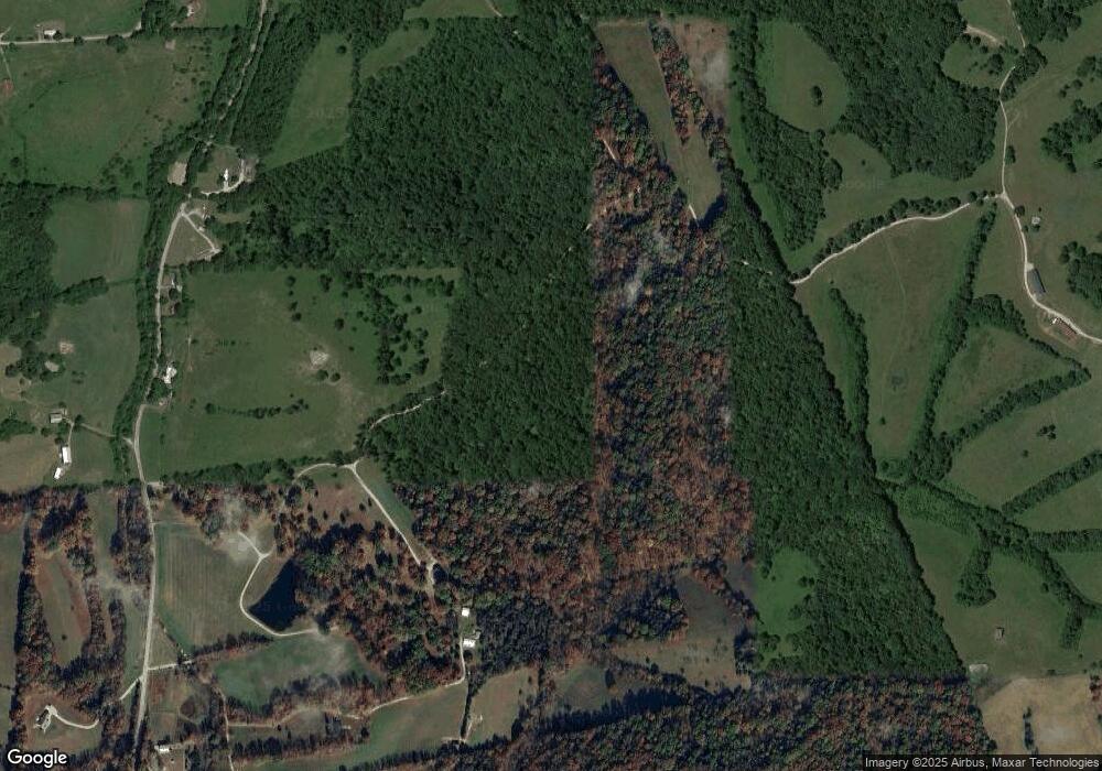
Map
Nearby Homes
- 170 Buffalo Ridge Rd
- 134 Buffalo Ridge Rd
- 0 Buffalo Ridge Rd
- 00000 Lenoxburg Rd
- 25 acres Lenoxburg Rd
- 108 Buckeye Hills Rd
- 407 E Shelby St
- 300 Main St
- 6183 Hwy 22e
- 817 Ed Monroe Rd
- 205 N Liberty St
- 808 W Shelby St
- 410 Chapel St
- 407 Montjoy St Unit 403, 405, 407, 409
- 500 Montjoy St
- 417 S Liberty St
- 604 Robbins Ave
- 615 Maple Ave
- 617 Woolery St
- 175 Ed Monroe Rd
- 133 Hidden Hollow Dr
- 67 Hidden Hollow Dr
- 131 Hidden Hollow Dr
- 131 Hidden Hollow Dr
- 284 Hidden Hollow Dr
- 0 Hidden Hollow Dr
- 2264 Ky Highway 159 N
- 2348 Highway 159 N
- 1896 Highway 159 N
- 1896 Highway 159 N
- 1896 Highway 159 N
- 1884 Ky Highway 159 N
- 1844 Highway 159 N
- 1844 Kentucky 159
- 1844 Ky Highway 159 N
- 2476 Highway 159 N
- 1899 Highway 159 N
- 2556 Highway 159 N
- 2556 Highway 159 N
- 2556 Highway 159 N